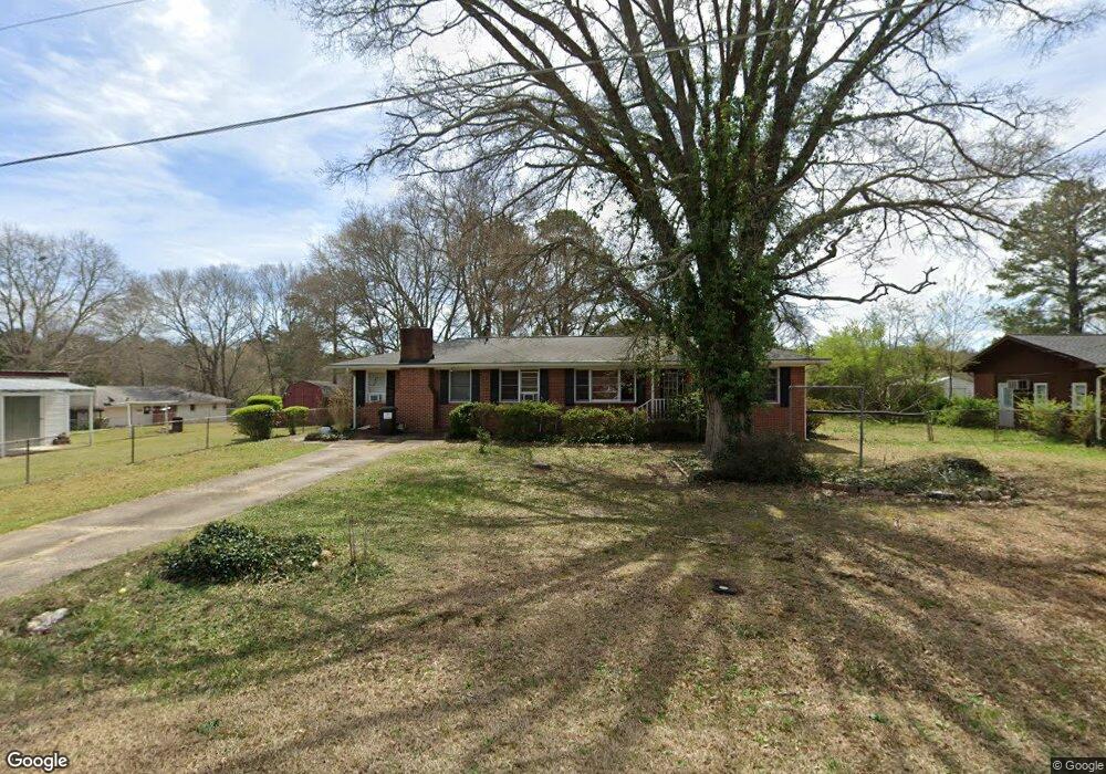
3353 Pendley Rd Austell, GA 30106
Estimated Value: $196,000 - $284,000
2
Beds
1
Bath
1,092
Sq Ft
$217/Sq Ft
Est. Value
About This Home
This home is located at 3353 Pendley Rd, Austell, GA 30106 and is currently estimated at $237,302, approximately $217 per square foot. 3353 Pendley Rd is a home located in Cobb County with nearby schools including Clarkdale Elementary School, Cooper Middle School, and South Cobb High School.
Ownership History
Date
Name
Owned For
Owner Type
Purchase Details
Closed on
Nov 26, 2007
Sold by
Jackson Richard L
Bought by
Bauman Charles M
Current Estimated Value
Home Financials for this Owner
Home Financials are based on the most recent Mortgage that was taken out on this home.
Original Mortgage
$100,320
Outstanding Balance
$62,947
Interest Rate
6.22%
Mortgage Type
New Conventional
Estimated Equity
$174,355
Purchase Details
Closed on
Apr 20, 2007
Sold by
Chambers Beverly A
Bought by
Jackson Richard L
Create a Home Valuation Report for This Property
The Home Valuation Report is an in-depth analysis detailing your home's value as well as a comparison with similar homes in the area
Home Values in the Area
Average Home Value in this Area
Purchase History
| Date | Buyer | Sale Price | Title Company |
|---|---|---|---|
| Bauman Charles M | $125,400 | -- | |
| Jackson Richard L | $90,000 | -- |
Source: Public Records
Mortgage History
| Date | Status | Borrower | Loan Amount |
|---|---|---|---|
| Open | Bauman Charles M | $100,320 |
Source: Public Records
Tax History Compared to Growth
Tax History
| Year | Tax Paid | Tax Assessment Tax Assessment Total Assessment is a certain percentage of the fair market value that is determined by local assessors to be the total taxable value of land and additions on the property. | Land | Improvement |
|---|---|---|---|---|
| 2025 | $617 | $101,252 | $22,000 | $79,252 |
| 2024 | $559 | $81,192 | $20,000 | $61,192 |
| 2023 | $326 | $72,060 | $10,000 | $62,060 |
| 2022 | $468 | $50,724 | $10,000 | $40,724 |
| 2021 | $468 | $50,724 | $10,000 | $40,724 |
| 2020 | $468 | $50,724 | $10,000 | $40,724 |
| 2019 | $400 | $42,312 | $10,000 | $32,312 |
| 2018 | $400 | $42,312 | $10,000 | $32,312 |
| 2017 | $710 | $33,624 | $6,000 | $27,624 |
| 2016 | $524 | $27,108 | $4,000 | $23,108 |
| 2015 | $399 | $22,372 | $4,000 | $18,372 |
| 2014 | $275 | $18,092 | $0 | $0 |
Source: Public Records
Map
Nearby Homes
- 4550 Glory Dr
- 4462 Wesley Way
- 3700 Moore Rd
- 4280 Creek Crest Trail
- 5120 A & B Newark Ave SW
- 5058 Austell Powder Springs Rd
- 2881 Golden Club Bend
- 4494 Austell Powder Springs Rd
- 3799 Oglesby Rd
- 4419 Brick Tunnel St
- 4431 Brick Tunnel St
- 4439 Brick Tunnel St
- 4427 Brick Tunnel St
- 4321 Austell Powder Springs Rd SW
- Northbrook Plan at Westmont Preserve
- Johnson Plan at Westmont Preserve
- Gibson Plan at Westmont Preserve
- Sherwood Plan at Westmont Preserve
- Taylorsville Plan at Westmont Preserve
- Johnson Basement Plan at Westmont Preserve