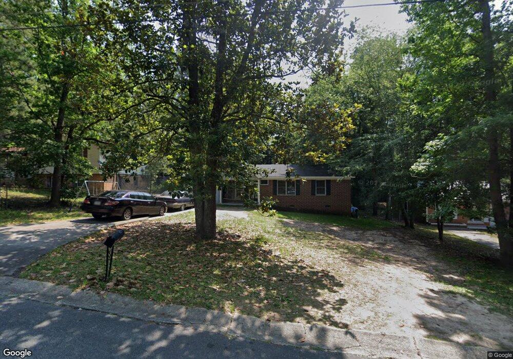
3353 Thunderbird Rd Macon, GA 31217
Estimated Value: $86,000 - $98,000
4
Beds
3
Baths
1,673
Sq Ft
$55/Sq Ft
Est. Value
About This Home
This home is located at 3353 Thunderbird Rd, Macon, GA 31217 and is currently estimated at $92,332, approximately $55 per square foot. 3353 Thunderbird Rd is a home located in Bibb County with nearby schools including Martin Luther King Jr. Elementary School, Appling Middle School, and Northeast High School.
Ownership History
Date
Name
Owned For
Owner Type
Purchase Details
Closed on
Jan 26, 2024
Sold by
Bowden Steve D and Bowden Judy G
Bought by
Sophia & Sons Llc
Current Estimated Value
Home Financials for this Owner
Home Financials are based on the most recent Mortgage that was taken out on this home.
Original Mortgage
$52,800
Outstanding Balance
$36,360
Interest Rate
6.95%
Mortgage Type
New Conventional
Estimated Equity
$55,972
Purchase Details
Closed on
Oct 29, 2003
Purchase Details
Closed on
Mar 7, 2002
Create a Home Valuation Report for This Property
The Home Valuation Report is an in-depth analysis detailing your home's value as well as a comparison with similar homes in the area
Purchase History
| Date | Buyer | Sale Price | Title Company |
|---|---|---|---|
| Sophia & Sons Llc | $66,000 | None Listed On Document | |
| -- | -- | -- | |
| -- | $62,700 | -- |
Source: Public Records
Mortgage History
| Date | Status | Borrower | Loan Amount |
|---|---|---|---|
| Open | Sophia & Sons Llc | $52,800 |
Source: Public Records
Tax History
| Year | Tax Paid | Tax Assessment Tax Assessment Total Assessment is a certain percentage of the fair market value that is determined by local assessors to be the total taxable value of land and additions on the property. | Land | Improvement |
|---|---|---|---|---|
| 2025 | $802 | $32,627 | $2,320 | $30,307 |
| 2024 | $829 | $32,627 | $2,320 | $30,307 |
| 2023 | $772 | $30,382 | $2,320 | $28,062 |
| 2022 | $903 | $26,093 | $3,115 | $22,978 |
| 2021 | $698 | $18,356 | $1,402 | $16,954 |
| 2020 | $661 | $17,018 | $1,402 | $15,616 |
| 2019 | $404 | $10,325 | $1,402 | $8,923 |
| 2018 | $799 | $10,325 | $1,402 | $8,923 |
| 2017 | $387 | $10,325 | $1,402 | $8,923 |
| 2016 | $357 | $10,325 | $1,402 | $8,923 |
| 2015 | $615 | $12,556 | $1,402 | $11,154 |
| 2014 | $1,111 | $19,722 | $2,991 | $16,731 |
Source: Public Records
Map
Nearby Homes
- 2113 Joseph Waller Dr
- 2035 Fairway Dr
- 3147 Wedgewood Dr
- 0 Shady Road Plaza
- 3103 Stratford Dr
- 3020 Millersfield Rd
- 3020 Millerfield Rd
- 3009 Millerfield Rd
- 1669 Griswoldville Rd
- 2954 Tyler Place
- 168 Ruby Dr
- 299 E Virginia Ln
- 132 Spradley Dr
- 157 Country World Dr
- 166 Country World Dr
- 176 Country World Dr
- 2750 Lakeshore Dr
- 2740 Millerfield Rd
- 2720 Jordan Ave
- 3576 Confederate Dr
- 3357 Thunderbird Rd
- 3365 Thunderbird Rd
- 3341 Thunderbird Rd
- 3370 Mohawk Rd
- 3378 Mohawk Rd
- 2025 Manson Rd
- 3362 Mohawk Rd
- 3354 Thunderbird Rd
- 3348 Thunderbird Rd
- 3360 Thunderbird Rd
- 3375 Thunderbird Rd
- 3335 Thunderbird Rd
- 3342 Thunderbird Rd
- 3356 Mohawk Rd
- 3366 Thunderbird Rd
- 3334 Thunderbird Rd
- 3329 Thunderbird Rd
- 3372 Thunderbird Rd
- 3344 Mohawk Rd
- 3328 Thunderbird Rd
Your Personal Tour Guide
Ask me questions while you tour the home.