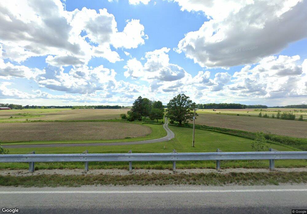
3354 Bethel Rd Bucyrus, OH 44820
Estimated Value: $215,593 - $279,000
3
Beds
1
Bath
1,050
Sq Ft
$235/Sq Ft
Est. Value
About This Home
This home is located at 3354 Bethel Rd, Bucyrus, OH 44820 and is currently estimated at $247,148, approximately $235 per square foot. 3354 Bethel Rd is a home located in Crawford County with nearby schools including Wynford Elementary School and Wynford High School.
Ownership History
Date
Name
Owned For
Owner Type
Purchase Details
Closed on
Jul 25, 2019
Sold by
Kocher Eugene and The Kocher Trust
Bought by
Kocher Scott E and Kocher Abby M
Current Estimated Value
Home Financials for this Owner
Home Financials are based on the most recent Mortgage that was taken out on this home.
Original Mortgage
$110,000
Outstanding Balance
$96,370
Interest Rate
3.82%
Mortgage Type
New Conventional
Estimated Equity
$150,778
Create a Home Valuation Report for This Property
The Home Valuation Report is an in-depth analysis detailing your home's value as well as a comparison with similar homes in the area
Home Values in the Area
Average Home Value in this Area
Purchase History
| Date | Buyer | Sale Price | Title Company |
|---|---|---|---|
| Kocher Scott E | $140,000 | None Available |
Source: Public Records
Mortgage History
| Date | Status | Borrower | Loan Amount |
|---|---|---|---|
| Open | Kocher Scott E | $110,000 |
Source: Public Records
Tax History Compared to Growth
Tax History
| Year | Tax Paid | Tax Assessment Tax Assessment Total Assessment is a certain percentage of the fair market value that is determined by local assessors to be the total taxable value of land and additions on the property. | Land | Improvement |
|---|---|---|---|---|
| 2024 | $1,812 | $48,220 | $13,070 | $35,150 |
| 2023 | $1,814 | $34,950 | $8,370 | $26,580 |
| 2022 | $1,645 | $34,950 | $8,370 | $26,580 |
| 2021 | $1,704 | $34,950 | $8,370 | $26,580 |
| 2020 | $1,292 | $28,540 | $8,370 | $20,170 |
| 2019 | $1,372 | $28,540 | $8,370 | $20,170 |
| 2018 | $1,402 | $28,540 | $8,370 | $20,170 |
| 2017 | $2,332 | $49,030 | $27,100 | $21,930 |
| 2016 | $1,955 | $49,030 | $27,100 | $21,930 |
| 2015 | $1,981 | $49,030 | $27,100 | $21,930 |
| 2014 | $2,237 | $37,450 | $15,520 | $21,930 |
| 2013 | $2,237 | $54,970 | $33,040 | $21,930 |
Source: Public Records
Map
Nearby Homes
- 1665 Lincoln Hwy
- 3056 Mccracken Rd
- 308 Lincoln Hwy
- 2273 Kerstetter Rd
- 4432 Marion Melmore Rd
- 275 Brentwood St
- 130 Brentwood St
- 2440 Wyandot Rd
- 885 W Perry St
- 441 Myers St
- 1792 Tiffin Rd
- 1112 Hillcrest Dr
- 1123 Hillcrest Dr
- 1149 Farmview Dr
- 609 W Perry St
- 1145 Lynne Ave
- 0 Lynne Ave
- 1315 Lynne Ave
- 2444 Spore Brandywine Rd
- 1575 N Sandusky Ave
- 0 Shroll Rd Unit 217043952
- 0 Shroll Rd Unit 217025946
- 0 Shroll Rd Unit 20124158
- 0 Shroll Rd Unit H120028
- TBD Shroll Rd
- 0 Shroll Rd Unit 9031889
- 0 Shroll Rd Unit 9040641
- 0 Shroll Rd Unit 4348992
- 0 Shroll Rd
- 1249 Shroll Rd
- 3496 Bethel Rd
- 1086 Nevada Wynford Rd
- 996 Schroll Rd
- 1223 Nevada Wynford Rd
- 1095 Nevada Wynford Rd
- 1095 Nevada Wynford Rd
- 1061 Nevada Wynford Rd
- 1041 Nevada Wynford Rd
- 1302 Nevada Wynford Rd
- 1011 Nevada Wynford Rd