3355 County Road 426 Poplar Bluff, MO 63901
Estimated Value: $130,000
3
Beds
--
Bath
1,792
Sq Ft
$73/Sq Ft
Est. Value
About This Home
This home is located at 3355 County Road 426, Poplar Bluff, MO 63901 and is currently estimated at $130,000, approximately $72 per square foot. 3355 County Road 426 is a home located in Butler County with nearby schools including East Carter County R-II Elementary School, East Carter County R-II Middle School, and East Carter County R-II High School.
Ownership History
Date
Name
Owned For
Owner Type
Purchase Details
Closed on
May 30, 2017
Sold by
C Harwells J and Harwell Betty Sue
Bought by
Burk Jennifer and Burk Michael
Current Estimated Value
Home Financials for this Owner
Home Financials are based on the most recent Mortgage that was taken out on this home.
Original Mortgage
$128,500
Outstanding Balance
$107,060
Interest Rate
4.08%
Mortgage Type
New Conventional
Estimated Equity
$22,940
Purchase Details
Closed on
Dec 6, 2010
Sold by
Arndt David Lynn and Arndt Vickie
Bought by
Scott Dale F and Pickett Tracey A
Home Financials for this Owner
Home Financials are based on the most recent Mortgage that was taken out on this home.
Original Mortgage
$125,000
Interest Rate
4.24%
Mortgage Type
Future Advance Clause Open End Mortgage
Create a Home Valuation Report for This Property
The Home Valuation Report is an in-depth analysis detailing your home's value as well as a comparison with similar homes in the area
Home Values in the Area
Average Home Value in this Area
Purchase History
| Date | Buyer | Sale Price | Title Company |
|---|---|---|---|
| Burk Jennifer | -- | None Available | |
| Scott Dale F | -- | -- |
Source: Public Records
Mortgage History
| Date | Status | Borrower | Loan Amount |
|---|---|---|---|
| Open | Burk Jennifer | $128,500 | |
| Previous Owner | Scott Dale F | $125,000 |
Source: Public Records
Tax History Compared to Growth
Tax History
| Year | Tax Paid | Tax Assessment Tax Assessment Total Assessment is a certain percentage of the fair market value that is determined by local assessors to be the total taxable value of land and additions on the property. | Land | Improvement |
|---|---|---|---|---|
| 2024 | $0 | $170 | $0 | $0 |
| 2023 | $6 | $170 | $0 | $0 |
| 2022 | $6 | $170 | $0 | $0 |
| 2021 | $6 | $170 | $0 | $0 |
| 2020 | $6 | $170 | $0 | $0 |
| 2019 | $6 | $170 | $0 | $0 |
| 2018 | $6 | $180 | $0 | $0 |
| 2017 | -- | $180 | $0 | $0 |
| 2016 | -- | $180 | $0 | $0 |
| 2015 | -- | $180 | $0 | $0 |
| 2014 | -- | $170 | $0 | $0 |
| 2012 | $1,347 | $35,940 | $0 | $0 |
Source: Public Records
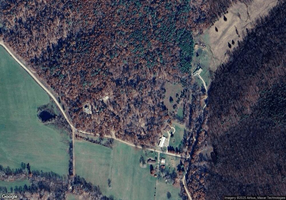
Map
Nearby Homes
- TBD County Road 426
- Tbd County Road 426
- 125 Lanee Ln
- 109 Lanee Ln
- 689 Hoot Owl Ln
- 10576 Highway Pp
- 9711 Highway Pp
- 10374 Highway 60 W
- 139 County Road 425
- 0 9 6 Ac + - Off Tt Hwy Unit MIS25050752
- 607 County Road 423
- 56 Stringtown St
- 2751 Carter Route B
- 1790 Carter 327
- 0 Carter Route 266 Unit MAR24069627
- 858 County Road 420
- 14108 Lynn Rd
- 31955 Us Highway 60
- 0 Brownwood Trails #18 Unit MIS25061746
- 00 Rabbit Run Rd