Estimated Value: $491,000 - $672,000
--
Bed
--
Bath
2,629
Sq Ft
$222/Sq Ft
Est. Value
About This Home
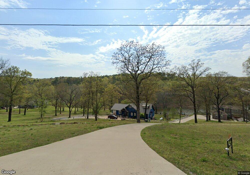
This home is located at 33561 S 596 Rd, Grove, OK 74344 and is currently estimated at $584,881, approximately $222 per square foot. 33561 S 596 Rd is a home with nearby schools including Grove Lower Elementary School, Grove Upper Elementary School, and Grove Middle School.
Ownership History
Date
Name
Owned For
Owner Type
Purchase Details
Closed on
Aug 23, 2017
Sold by
The Property Hunters Llc
Bought by
Mcnew Michael and Robinson Mcnew Michael
Current Estimated Value
Home Financials for this Owner
Home Financials are based on the most recent Mortgage that was taken out on this home.
Original Mortgage
$364,205
Outstanding Balance
$304,473
Interest Rate
4.03%
Mortgage Type
Construction
Estimated Equity
$280,408
Purchase Details
Closed on
Oct 25, 2011
Sold by
Mcnew Michael E and Mcnew Michael A
Bought by
Property Hunters Llc
Purchase Details
Closed on
Jul 14, 2009
Sold by
Governor S Retreat South Llc
Bought by
Mcnew Michael E and Mcnew Micheal A
Home Financials for this Owner
Home Financials are based on the most recent Mortgage that was taken out on this home.
Original Mortgage
$28,217
Interest Rate
5.39%
Mortgage Type
Future Advance Clause Open End Mortgage
Create a Home Valuation Report for This Property
The Home Valuation Report is an in-depth analysis detailing your home's value as well as a comparison with similar homes in the area
Home Values in the Area
Average Home Value in this Area
Purchase History
| Date | Buyer | Sale Price | Title Company |
|---|---|---|---|
| Mcnew Michael | -- | None Available | |
| Property Hunters Llc | -- | -- | |
| Mcnew Michael E | $28,000 | -- |
Source: Public Records
Mortgage History
| Date | Status | Borrower | Loan Amount |
|---|---|---|---|
| Open | Mcnew Michael | $364,205 | |
| Previous Owner | Mcnew Michael E | $28,217 |
Source: Public Records
Tax History Compared to Growth
Tax History
| Year | Tax Paid | Tax Assessment Tax Assessment Total Assessment is a certain percentage of the fair market value that is determined by local assessors to be the total taxable value of land and additions on the property. | Land | Improvement |
|---|---|---|---|---|
| 2024 | $2,737 | $34,803 | $3,297 | $31,506 |
| 2023 | $2,737 | $33,789 | $3,286 | $30,503 |
| 2022 | $2,656 | $33,789 | $3,284 | $30,505 |
| 2021 | $2,570 | $32,805 | $3,284 | $29,521 |
| 2020 | $2,535 | $31,849 | $3,284 | $28,565 |
| 2019 | $2,553 | $30,021 | $3,283 | $26,738 |
| 2018 | $273 | $3,220 | $3,220 | $0 |
| 2017 | $274 | $3,220 | $3,220 | $0 |
| 2016 | $274 | $3,220 | $3,220 | $0 |
| 2015 | $278 | $3,220 | $3,220 | $0 |
| 2014 | $279 | $3,220 | $3,220 | $0 |
Source: Public Records
Map
Nearby Homes
- 59951 E 333 Rd
- TBD S 597 Trail
- 58930 E 332 Rd
- 58700 E 336 Rd
- TBD E 325 (Parcel 6) Trail
- 33356 S 586 Rd
- TBD E 325 (Parcel 5) Trail
- Parcel 4 E Tbd 325 Trail
- 58461 E 334 Rd
- Parcel 3 E 325 Ln
- Parcel 2 E 325 Ln
- Parcel 1 E 325 Ln
- 59510 E 324 Rd
- 61171 E 340 Rd
- 0 S 586 Rd Unit 2542754
- 34351 S 610 Rd
- 32366 596 Loop
- 60677 E 323 Ln
- TBD S 598 Ridge
- 32106 S 603 Ln
- 33571 S 596 Rd
- 33541 S 596 Rd
- 0 335 Rd Unit 20-2562
- 33531 S 596 Rd
- 33521 S 596 Rd
- 000 Tbd
- 33520 S 595 Rd
- 33530 S 595 Rd
- 33511 S 596 Rd
- 0 S 596 Rd Unit 19-1967
- 0 S 596 Rd Unit 11-391
- 0 S 596 Rd Unit 9-1795
- 0 S 596 Rd Unit 11-2597
- 0 S 596 Rd Unit 12-1184
- 0 S 596 Rd Unit 18-2467
- 0 S 596 Rd Unit 21-264
- 0 Tbd S 596 Rd
- 33621 S 595 Rd
- 33501 S 596 Rd
- 44840 S 596 Rd