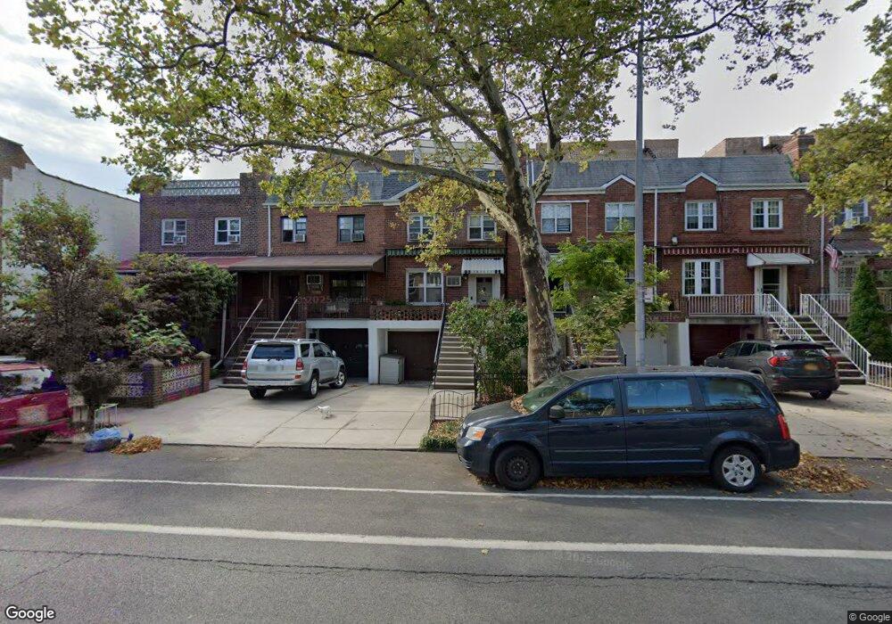
3357 12th Ave Brooklyn, NY 11218
Kensington NeighborhoodEstimated Value: $1,596,498 - $2,022,000
--
Bed
--
Bath
2,200
Sq Ft
$806/Sq Ft
Est. Value
About This Home
This home is located at 3357 12th Ave, Brooklyn, NY 11218 and is currently estimated at $1,772,875, approximately $805 per square foot. 3357 12th Ave is a home located in Kings County with nearby schools including P.S. 230 Doris L Cohen, I.S. 223 The Montauk, and Franklin Delano Roosevelt High School.
Ownership History
Date
Name
Owned For
Owner Type
Purchase Details
Closed on
Jun 29, 2016
Sold by
The Estate Philip M Scola
Bought by
Quinn Molly R and Quinn Robert J
Current Estimated Value
Home Financials for this Owner
Home Financials are based on the most recent Mortgage that was taken out on this home.
Original Mortgage
$1,000,000
Outstanding Balance
$799,842
Interest Rate
3.64%
Mortgage Type
Purchase Money Mortgage
Estimated Equity
$973,033
Create a Home Valuation Report for This Property
The Home Valuation Report is an in-depth analysis detailing your home's value as well as a comparison with similar homes in the area
Home Values in the Area
Average Home Value in this Area
Purchase History
| Date | Buyer | Sale Price | Title Company |
|---|---|---|---|
| Quinn Molly R | $1,450,000 | -- |
Source: Public Records
Mortgage History
| Date | Status | Borrower | Loan Amount |
|---|---|---|---|
| Open | Quinn Molly R | $1,000,000 |
Source: Public Records
Tax History Compared to Growth
Tax History
| Year | Tax Paid | Tax Assessment Tax Assessment Total Assessment is a certain percentage of the fair market value that is determined by local assessors to be the total taxable value of land and additions on the property. | Land | Improvement |
|---|---|---|---|---|
| 2025 | $9,176 | $105,180 | $21,840 | $83,340 |
| 2024 | $9,176 | $95,040 | $21,840 | $73,200 |
| 2023 | $6,035 | $85,920 | $21,840 | $64,080 |
| 2022 | $5,883 | $86,520 | $21,840 | $64,680 |
| 2021 | $5,121 | $78,480 | $21,840 | $56,640 |
| 2020 | $3,841 | $79,380 | $21,840 | $57,540 |
| 2019 | $7,079 | $74,700 | $21,840 | $52,860 |
| 2018 | $6,767 | $32,347 | $9,450 | $22,897 |
| 2016 | $2,940 | $31,683 | $12,178 | $19,505 |
| 2015 | $1,278 | $29,890 | $15,500 | $14,390 |
| 2014 | $1,278 | $28,200 | $17,544 | $10,656 |
Source: Public Records
Map
Nearby Homes
- 40 Tehama St Unit 6H
- 40 Tehama St Unit 6E
- 40 Tehama St Unit 4G
- 40 Tehama St Unit 2H
- 3392 12th Ave
- 74 Clara St
- 36 Dahill Rd Unit 4F
- 36 Dahill Rd Unit 1N
- 58 Dahill Rd Unit 3-A
- 62 Louisa St
- 3514 12th Ave
- 153 Dahill Rd
- 3545 12th Ave
- 27 Church Ave
- 1243 37th St
- 222 Albemarle Rd
- 1405 36th St
- 1409 36th St
- 1271 38th St
- 243 McDonald Ave Unit 6J
- 3361 12th Ave
- 3361 12th Ave Unit Building
- 3355 12th Ave
- 3363 12th Ave
- 3353 12th Ave
- 3365 12th Ave
- 3351 12th Ave
- 3351 12th Ave Unit 2
- 3351 12th Ave Unit 2R
- 3351 12th Ave Unit 2B
- 3367 12th Ave
- 3347 12th Ave
- 3369 12th Ave
- 40 Tehama St Unit 4B
- 40 Tehama St Unit 62
- 40 Tehama St Unit 2B
- 40 Tehama St Unit 5N
- 40 Tehama St Unit 5D
- 40 Tehama St Unit 5F
- 40 Tehama St Unit 6L