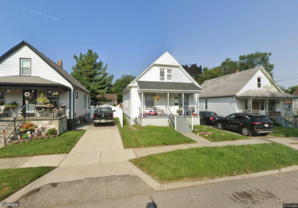
3358 13th St Unit Bldg-Unit Wyandotte, MI 48192
Estimated Value: $136,000 - $159,734
--
Bed
2
Baths
1,026
Sq Ft
$149/Sq Ft
Est. Value
About This Home
This home is located at 3358 13th St Unit Bldg-Unit, Wyandotte, MI 48192 and is currently estimated at $152,934, approximately $149 per square foot. 3358 13th St Unit Bldg-Unit is a home located in Wayne County with nearby schools including Monroe Elementary School, Woodrow Wilson School, and Roosevelt High School.
Ownership History
Date
Name
Owned For
Owner Type
Purchase Details
Closed on
Oct 30, 2020
Sold by
Club 100 Plus Michigan 2017 Llc
Bought by
Belleville Lake Acquisitions L
Current Estimated Value
Purchase Details
Closed on
Feb 1, 2018
Sold by
Investment Realty Services Llc
Bought by
Club 100 Plus Michigan 2017 Llc
Purchase Details
Closed on
Sep 7, 2017
Sold by
Orr Robert F and Orr Judith R
Bought by
Investment Realty Services Llc
Purchase Details
Closed on
Dec 6, 2001
Sold by
Ball Mary J
Bought by
Orr Judith R
Create a Home Valuation Report for This Property
The Home Valuation Report is an in-depth analysis detailing your home's value as well as a comparison with similar homes in the area
Home Values in the Area
Average Home Value in this Area
Purchase History
| Date | Buyer | Sale Price | Title Company |
|---|---|---|---|
| Belleville Lake Acquisitions L | $1,011,665 | None Listed On Document | |
| Club 100 Plus Michigan 2017 Llc | $396,500 | None Available | |
| Investment Realty Services Llc | $62,000 | Michigan Title Insurance Age | |
| Orr Judith R | $60,000 | -- |
Source: Public Records
Tax History Compared to Growth
Tax History
| Year | Tax Paid | Tax Assessment Tax Assessment Total Assessment is a certain percentage of the fair market value that is determined by local assessors to be the total taxable value of land and additions on the property. | Land | Improvement |
|---|---|---|---|---|
| 2025 | $2,601 | $65,100 | $0 | $0 |
| 2024 | $2,601 | $59,600 | $0 | $0 |
| 2023 | $2,480 | $54,900 | $0 | $0 |
| 2022 | $3,188 | $44,600 | $0 | $0 |
| 2021 | $3,115 | $42,800 | $0 | $0 |
| 2020 | $2,774 | $40,800 | $0 | $0 |
| 2019 | $2,732 | $37,400 | $0 | $0 |
| 2018 | $1,683 | $25,000 | $0 | $0 |
| 2017 | $774 | $25,000 | $0 | $0 |
| 2016 | $1,487 | $22,700 | $0 | $0 |
| 2015 | $2,002 | $21,100 | $0 | $0 |
| 2013 | $1,940 | $19,400 | $0 | $0 |
| 2012 | $1,087 | $19,400 | $5,000 | $14,400 |
Source: Public Records
Map
Nearby Homes