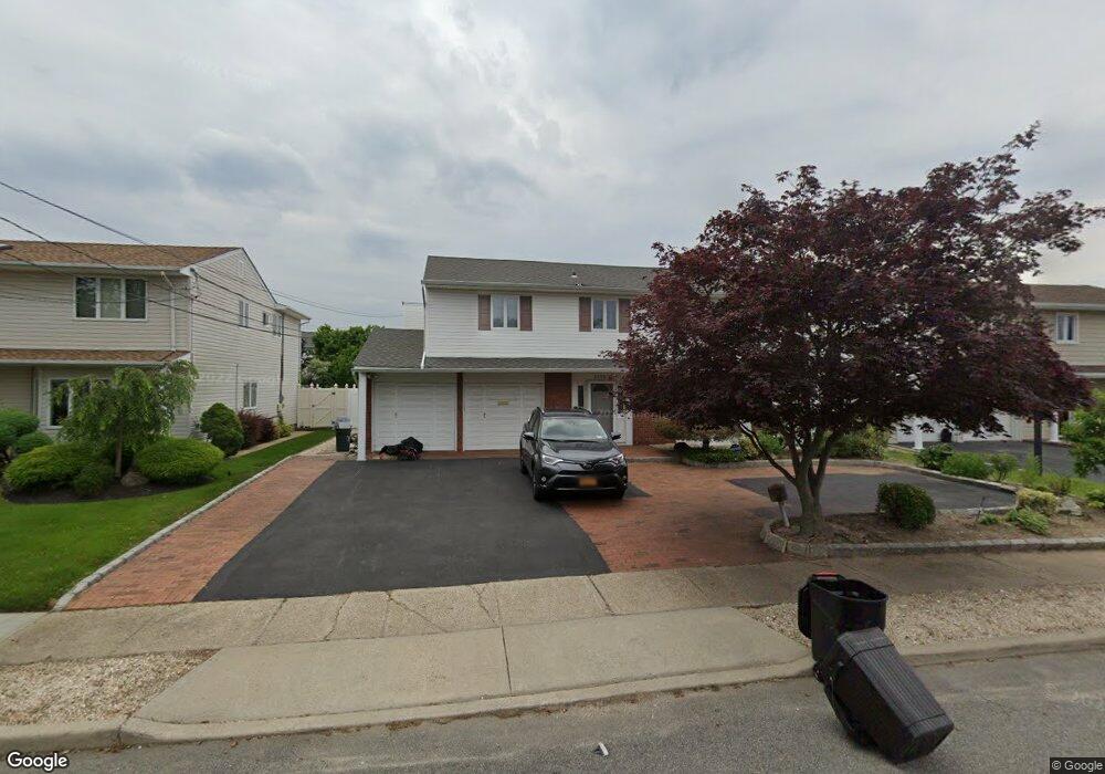
3358 Robbin Ln Merrick, NY 11566
Estimated Value: $1,098,000 - $1,255,000
4
Beds
3
Baths
2,925
Sq Ft
$408/Sq Ft
Est. Value
About This Home
This home is located at 3358 Robbin Ln, Merrick, NY 11566 and is currently estimated at $1,194,602, approximately $408 per square foot. 3358 Robbin Ln is a home located in Nassau County with nearby schools including Merrick Avenue Middle School, John F. Kennedy High School, and St. Elizabeth Ann Seton Regional School.
Ownership History
Date
Name
Owned For
Owner Type
Purchase Details
Closed on
Jul 19, 2018
Sold by
Adwar Trust
Bought by
Positiglione Richard and Positiglione Shannon
Current Estimated Value
Home Financials for this Owner
Home Financials are based on the most recent Mortgage that was taken out on this home.
Original Mortgage
$517,600
Outstanding Balance
$444,795
Interest Rate
4.5%
Mortgage Type
New Conventional
Estimated Equity
$749,807
Purchase Details
Closed on
Nov 12, 2005
Sold by
Adwar Harry
Create a Home Valuation Report for This Property
The Home Valuation Report is an in-depth analysis detailing your home's value as well as a comparison with similar homes in the area
Home Values in the Area
Average Home Value in this Area
Purchase History
| Date | Buyer | Sale Price | Title Company |
|---|---|---|---|
| Positiglione Richard | $647,000 | Stewart Title | |
| -- | -- | -- |
Source: Public Records
Mortgage History
| Date | Status | Borrower | Loan Amount |
|---|---|---|---|
| Open | Positiglione Richard | $517,600 |
Source: Public Records
Tax History
| Year | Tax Paid | Tax Assessment Tax Assessment Total Assessment is a certain percentage of the fair market value that is determined by local assessors to be the total taxable value of land and additions on the property. | Land | Improvement |
|---|---|---|---|---|
| 2025 | $23,343 | $769 | $288 | $481 |
| 2024 | $5,024 | $726 | $288 | $438 |
Source: Public Records
Map
Nearby Homes
- 3311 Hewlett Ave
- 3142 Shore Rd
- 2074 Ellen Dr
- 3200 Lydia Ln
- 3058 Susan Rd
- 2876 Shore Rd
- 2631 Rachel St
- 2988 Lee Place
- 2858 Shore Rd
- 1981 Cynthia Ln
- 2686 Frances St
- 3147 Denton Dr
- 2066 Holland Way
- 2884 Bay Dr
- 2863 Harbor Rd
- 1993 Lowell Ln
- 1827 Glenn Ln
- 2845 Whaleneck Dr
- 3094 Riverside Dr
- 2070 Beverly Way
- 3352 Robbin Ln
- 3364 Robbin Ln
- 3347 Hewlett Ave
- 3341 Hewlett Ave
- 3346 Robbin Ln
- 3370 Robbin Ln
- 3351 Hewlett Ave
- 3335 Hewlett Ave
- 3359 Robbin Ln
- 3353 Robbin Ln
- 3365 Robbin Ln
- 3340 Robbin Ln
- 3376 Robbin Ln
- 3355 Hewlett Ave
- 3347 Robbin Ln
- 3371 Robbin Ln
- 3329 Hewlett Ave
- 3341 Robbin Ln
- 3377 Robbin Ln
- 3332 Robbin Ln
Your Personal Tour Guide
Ask me questions while you tour the home.