336 Broken Bit Rd Hartsville, SC 29550
Estimated Value: $201,000 - $286,503
4
Beds
2
Baths
1,593
Sq Ft
$154/Sq Ft
Est. Value
About This Home
This home is located at 336 Broken Bit Rd, Hartsville, SC 29550 and is currently estimated at $245,834, approximately $154 per square foot. 336 Broken Bit Rd is a home located in Darlington County with nearby schools including Pate Elementary School, Brockington Elementary Magnet School, and Darlington Middle School.
Ownership History
Date
Name
Owned For
Owner Type
Purchase Details
Closed on
Sep 12, 2023
Sold by
Munson William A and Munson Susan R
Bought by
Munson Family Trust and Munson
Current Estimated Value
Purchase Details
Closed on
Sep 3, 2015
Sold by
Munson Susan R and Howell Megan M
Bought by
Munson Susan R and Munson William A
Home Financials for this Owner
Home Financials are based on the most recent Mortgage that was taken out on this home.
Original Mortgage
$135,000
Interest Rate
3.94%
Mortgage Type
New Conventional
Create a Home Valuation Report for This Property
The Home Valuation Report is an in-depth analysis detailing your home's value as well as a comparison with similar homes in the area
Home Values in the Area
Average Home Value in this Area
Purchase History
| Date | Buyer | Sale Price | Title Company |
|---|---|---|---|
| Munson Family Trust | -- | None Listed On Document | |
| Munson Susan R | -- | -- |
Source: Public Records
Mortgage History
| Date | Status | Borrower | Loan Amount |
|---|---|---|---|
| Previous Owner | Munson Susan R | $135,000 |
Source: Public Records
Tax History Compared to Growth
Tax History
| Year | Tax Paid | Tax Assessment Tax Assessment Total Assessment is a certain percentage of the fair market value that is determined by local assessors to be the total taxable value of land and additions on the property. | Land | Improvement |
|---|---|---|---|---|
| 2024 | $1,505 | $4,350 | $0 | $0 |
| 2023 | $897 | $3,590 | $0 | $0 |
| 2022 | $897 | $3,590 | $0 | $0 |
| 2021 | $897 | $3,590 | $0 | $0 |
| 2020 | $832 | $3,590 | $0 | $0 |
| 2019 | $1,351 | $4,350 | $0 | $0 |
| 2018 | $1,312 | $4,210 | $610 | $3,600 |
| 2017 | $1,256 | $4,210 | $610 | $3,600 |
| 2016 | $1,168 | $4,210 | $610 | $3,600 |
| 2014 | $302 | $1,810 | $490 | $1,320 |
| 2013 | $265 | $1,810 | $490 | $1,320 |
Source: Public Records
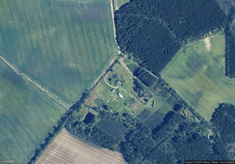
Map
Nearby Homes
- 101 Andy Dr
- 1501 E Bobo Newsom Hwy
- 2224 Hwy 151 Hwy
- 1309 E Bobo Newsom Hwy
- 2653 Iseman Rd
- TBD Hwy 151 Hwy
- TBD Cherokee Lady St
- 2017 Philadelphia St
- 2073 Gum Cir
- 828 Jones Cir
- 1743 Rhodes Community Rd
- TBD Dovetail Rd Unit Lot 4
- 412 E Bobo Newsom Hwy
- 1825 Hickorytree Dr
- TBD Birch Dr
- TBD Bryant St
- TBD Maple Dr
- TBD Hickory Tree Dr
- 1516 S 4th St
- 0 High Hill Rd
- 436 Broken Bit Rd
- 532 Back Woods Dr
- 1832 E Lydia Hwy
- 1881 Yule Pines Ln
- 1871 Yule Pines Ln
- 1941 E Lydia Hwy
- 1828 E Lydia Hwy
- 2005 E Lydia Hwy
- 1621 E Lydia Hwy
- 1611 E Lydia Hwy
- 1932 E Lydia Hwy
- 1840 Yule Pines Ln
- 2004 E Lydia Hwy
- 1924 E Lydia Hwy
- 1620 E Lydia Hwy
- 1831 Yule Pines Ln
- 2101 E Lydia Hwy
- 1842 Yule Pines Ln
- 2105 E Lydia Hwy
- 1811 Yule Pines Ln