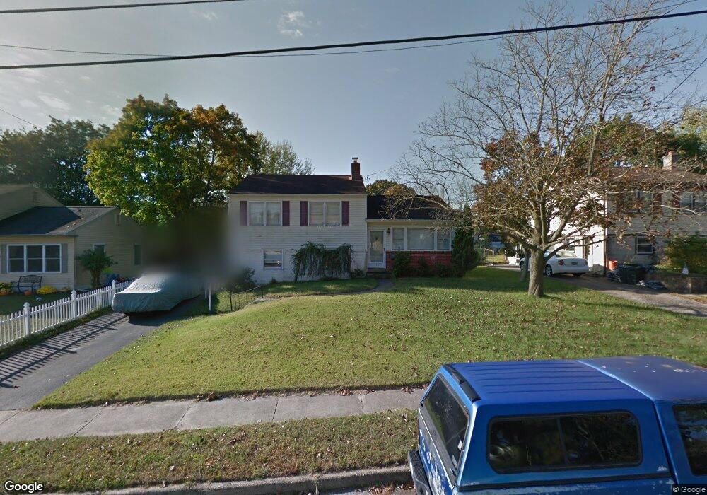
336 Carnegie Ave Wenonah, NJ 08090
Deptford Township NeighborhoodEstimated Value: $254,635 - $378,000
--
Bed
--
Bath
1,712
Sq Ft
$187/Sq Ft
Est. Value
About This Home
This home is located at 336 Carnegie Ave, Wenonah, NJ 08090 and is currently estimated at $320,159, approximately $187 per square foot. 336 Carnegie Ave is a home located in Gloucester County with nearby schools including Deptford Township High School and St Margaret Regional School.
Ownership History
Date
Name
Owned For
Owner Type
Purchase Details
Closed on
Oct 17, 1997
Sold by
Robinson Frank T and Robinson Elizabeth P
Bought by
Bradway Timothy W and Bradway Jacqueline A
Current Estimated Value
Home Financials for this Owner
Home Financials are based on the most recent Mortgage that was taken out on this home.
Original Mortgage
$90,431
Outstanding Balance
$14,567
Interest Rate
7.48%
Estimated Equity
$305,592
Create a Home Valuation Report for This Property
The Home Valuation Report is an in-depth analysis detailing your home's value as well as a comparison with similar homes in the area
Home Values in the Area
Average Home Value in this Area
Purchase History
| Date | Buyer | Sale Price | Title Company |
|---|---|---|---|
| Bradway Timothy W | $97,500 | New Jersey Title Insurance C |
Source: Public Records
Mortgage History
| Date | Status | Borrower | Loan Amount |
|---|---|---|---|
| Open | Bradway Timothy W | $90,431 |
Source: Public Records
Tax History Compared to Growth
Tax History
| Year | Tax Paid | Tax Assessment Tax Assessment Total Assessment is a certain percentage of the fair market value that is determined by local assessors to be the total taxable value of land and additions on the property. | Land | Improvement |
|---|---|---|---|---|
| 2025 | $5,184 | $144,600 | $38,900 | $105,700 |
| 2024 | $5,018 | $144,600 | $38,900 | $105,700 |
| 2023 | $5,018 | $144,600 | $38,900 | $105,700 |
| 2022 | $4,981 | $144,600 | $38,900 | $105,700 |
| 2021 | $4,664 | $144,600 | $38,900 | $105,700 |
| 2020 | $4,854 | $144,600 | $38,900 | $105,700 |
| 2019 | $4,762 | $144,600 | $38,900 | $105,700 |
| 2018 | $4,655 | $144,600 | $38,900 | $105,700 |
| 2017 | $4,530 | $144,600 | $38,900 | $105,700 |
| 2016 | $4,438 | $144,600 | $38,900 | $105,700 |
| 2015 | $4,300 | $144,600 | $38,900 | $105,700 |
| 2014 | $4,189 | $144,600 | $38,900 | $105,700 |
Source: Public Records
Map
Nearby Homes
- 315 Ogden Station Rd
- 313 Ogden Station Rd
- 711 Howard Ave
- 916 Georgetown Rd
- 100 Buddy Powell Ln
- 114 Buddy Powell Ln
- 1 W Buttonwood St
- 7 Manchester Ct
- 8 W Buttonwood St
- 505 W Mantua Ave
- 748 Dartmouth Dr
- 505 University Blvd
- 125 Ivy Ln
- 206 E Elm St
- 3 E Mantua Ave
- 629 Vassar Rd
- 477 Bucknell Ave
- 111 Cove Rd
- 103 Carver Dr
- 136 Vanderbilt Ave
- 332 Carnegie Ave
- 340 Carnegie Ave
- 335 Ogden Station Rd
- 328 Carnegie Ave
- 331 Ogden Station Rd
- 339 Ogden Station Rd
- 344 Carnegie Ave
- 339 Carnegie Ave
- 343 Ogden Rd
- 327 Ogden Station Rd
- 343 Carnegie Ave
- 343 Ogden Station Rd
- 335 Carnegie Ave
- 324 Carnegie Ave
- 348 Carnegie Ave
- 331 Carnegie Ave
- 347 Carnegie Ave
- 323 Ogden Station Rd
- 347 Ogden Station Rd
- 323 Ogden Rd