336 High St Mansfield, OH 44903
Estimated Value: $71,840 - $118,000
2
Beds
1
Bath
1,189
Sq Ft
$74/Sq Ft
Est. Value
About This Home
This home is located at 336 High St, Mansfield, OH 44903 and is currently estimated at $88,460, approximately $74 per square foot. 336 High St is a home located in Richland County with nearby schools including Goal Digital Academy, St. Peter's Elementary/Montessori School, and St. Peter's Junior High / High School.
Ownership History
Date
Name
Owned For
Owner Type
Purchase Details
Closed on
Jun 28, 2023
Sold by
Richardson William F
Bought by
Gordon Christopher
Current Estimated Value
Purchase Details
Closed on
Sep 16, 2016
Sold by
Oceanse Bleu Llc
Bought by
Richardson William F
Purchase Details
Closed on
Feb 16, 2006
Sold by
Jp Morgan Chase Bank
Bought by
Oceanse Bleu Llc
Purchase Details
Closed on
Nov 29, 2005
Sold by
Champion Rodney D
Bought by
Bank One Na
Purchase Details
Closed on
Apr 20, 2001
Sold by
Glowacky Robert S
Bought by
Champion Rodney D
Home Financials for this Owner
Home Financials are based on the most recent Mortgage that was taken out on this home.
Original Mortgage
$32,000
Interest Rate
10.5%
Mortgage Type
New Conventional
Purchase Details
Closed on
Aug 18, 1998
Sold by
Lewis John G
Bought by
Glowacky Robert S and Glowacky Diane M
Purchase Details
Closed on
Oct 28, 1992
Sold by
Touby Reita V
Bought by
Lewis John
Create a Home Valuation Report for This Property
The Home Valuation Report is an in-depth analysis detailing your home's value as well as a comparison with similar homes in the area
Home Values in the Area
Average Home Value in this Area
Purchase History
| Date | Buyer | Sale Price | Title Company |
|---|---|---|---|
| Gordon Christopher | $100,000 | Chicago Title | |
| Richardson William F | -- | Attorney | |
| Oceanse Bleu Llc | $5,650 | Sovereign Title Agency Llc | |
| Jp Morgan Chase Bank | $5,650 | Sovereign Title Agency Llc | |
| Bank One Na | $4,000 | None Available | |
| Champion Rodney D | $40,000 | -- | |
| Glowacky Robert S | $32,333 | -- | |
| Lewis John | $6,800 | -- |
Source: Public Records
Mortgage History
| Date | Status | Borrower | Loan Amount |
|---|---|---|---|
| Previous Owner | Champion Rodney D | $32,000 |
Source: Public Records
Tax History
| Year | Tax Paid | Tax Assessment Tax Assessment Total Assessment is a certain percentage of the fair market value that is determined by local assessors to be the total taxable value of land and additions on the property. | Land | Improvement |
|---|---|---|---|---|
| 2024 | $536 | $11,200 | $1,660 | $9,540 |
| 2023 | $536 | $11,200 | $1,660 | $9,540 |
| 2022 | $380 | $6,650 | $1,510 | $5,140 |
| 2021 | $383 | $6,650 | $1,510 | $5,140 |
| 2020 | $391 | $6,650 | $1,510 | $5,140 |
| 2019 | $434 | $6,650 | $1,510 | $5,140 |
| 2018 | $428 | $6,650 | $1,510 | $5,140 |
| 2017 | $444 | $6,650 | $1,510 | $5,140 |
| 2016 | $471 | $7,290 | $2,390 | $4,900 |
| 2015 | $450 | $7,290 | $2,390 | $4,900 |
| 2014 | $444 | $7,290 | $2,390 | $4,900 |
| 2012 | $358 | $7,680 | $2,520 | $5,160 |
Source: Public Records
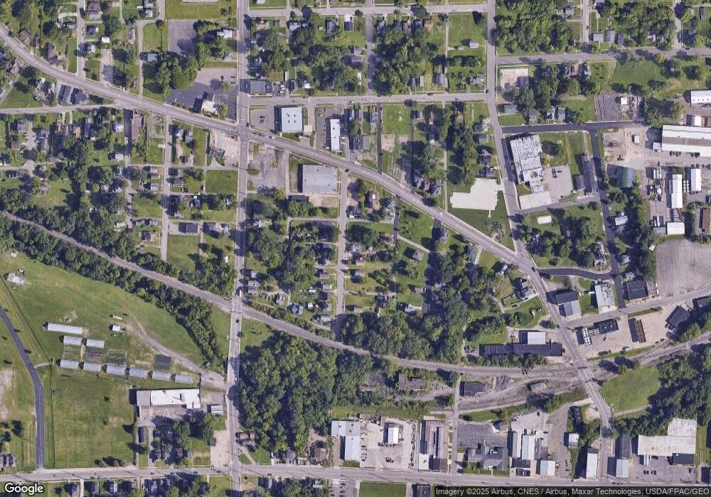
Map
Nearby Homes
- 0 Voegele Ave Unit Lot 6048, 6049, 6
- 524 Lida St
- 580 N Mulberry St
- 368 W 6th St
- 118 Raymond Ave
- 701 Springmill St
- 212 Penn Ave
- 10 Gray Ct
- 81 Penn Ave
- 458 W West Dickson Ave
- 0 Lot #23128 Unit 9069815
- 230 Rae Ave
- 30 Douglas Ave
- 572 France St
- 131 Sturges Ave
- 492 Stark St
- 0 State Route 314 Unit 9069650
- 31 Bartley Ave
- 0 Lemley Ave Unit 9070540
- 119 Carpenter Rd
Your Personal Tour Guide
Ask me questions while you tour the home.