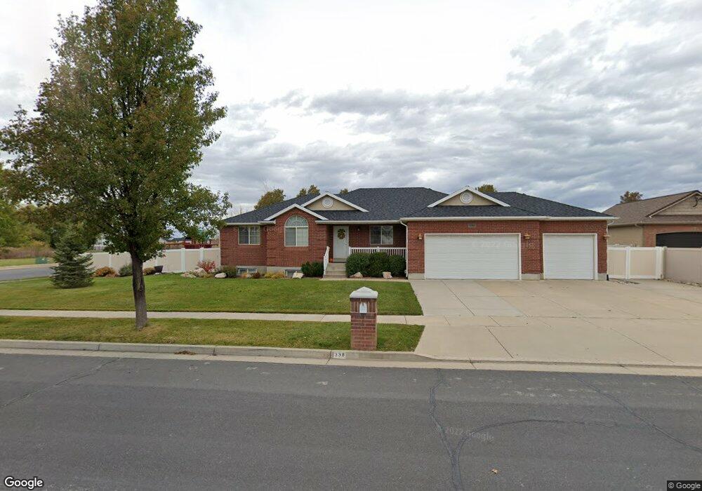
336 W 800 S Layton, UT 84041
Estimated Value: $589,000 - $697,000
5
Beds
4
Baths
1,566
Sq Ft
$414/Sq Ft
Est. Value
About This Home
This home is located at 336 W 800 S, Layton, UT 84041 and is currently estimated at $647,806, approximately $413 per square foot. 336 W 800 S is a home located in Davis County with nearby schools including Layton Elementary School, Fairfield Junior High School, and Davis High School.
Ownership History
Date
Name
Owned For
Owner Type
Purchase Details
Closed on
Jun 3, 2005
Sold by
Anderson Karl D and Anderson Cathee F
Bought by
Campbell Sidney P and Campbell Laree W
Current Estimated Value
Home Financials for this Owner
Home Financials are based on the most recent Mortgage that was taken out on this home.
Original Mortgage
$160,000
Outstanding Balance
$82,888
Interest Rate
5.74%
Mortgage Type
Fannie Mae Freddie Mac
Estimated Equity
$564,918
Purchase Details
Closed on
Feb 28, 2001
Sold by
Green Ryan D
Bought by
Anderson Karl D and Anderson Cathee F
Home Financials for this Owner
Home Financials are based on the most recent Mortgage that was taken out on this home.
Original Mortgage
$158,000
Interest Rate
6.6%
Purchase Details
Closed on
Mar 29, 2000
Sold by
Green & Green Lc
Bought by
Green Ryan D
Home Financials for this Owner
Home Financials are based on the most recent Mortgage that was taken out on this home.
Original Mortgage
$160,000
Interest Rate
8.24%
Mortgage Type
Construction
Create a Home Valuation Report for This Property
The Home Valuation Report is an in-depth analysis detailing your home's value as well as a comparison with similar homes in the area
Home Values in the Area
Average Home Value in this Area
Purchase History
| Date | Buyer | Sale Price | Title Company |
|---|---|---|---|
| Campbell Sidney P | -- | Security Title | |
| Anderson Karl D | -- | Security Title Company | |
| Green Ryan D | -- | Security Title Company |
Source: Public Records
Mortgage History
| Date | Status | Borrower | Loan Amount |
|---|---|---|---|
| Open | Campbell Sidney P | $160,000 | |
| Previous Owner | Anderson Karl D | $158,000 | |
| Previous Owner | Green Ryan D | $160,000 |
Source: Public Records
Tax History Compared to Growth
Tax History
| Year | Tax Paid | Tax Assessment Tax Assessment Total Assessment is a certain percentage of the fair market value that is determined by local assessors to be the total taxable value of land and additions on the property. | Land | Improvement |
|---|---|---|---|---|
| 2025 | $3,233 | $339,350 | $126,192 | $213,158 |
| 2024 | $3,032 | $320,650 | $134,946 | $185,704 |
| 2023 | $3,037 | $566,000 | $142,992 | $423,008 |
| 2022 | $3,336 | $337,700 | $83,059 | $254,641 |
| 2021 | $2,756 | $416,000 | $124,568 | $291,432 |
| 2020 | $2,645 | $383,000 | $106,479 | $276,521 |
| 2019 | $2,573 | $365,000 | $105,151 | $259,849 |
| 2018 | $2,367 | $337,000 | $92,674 | $244,326 |
| 2016 | $2,429 | $178,420 | $38,024 | $140,396 |
| 2015 | $2,413 | $168,245 | $38,024 | $130,221 |
| 2014 | $2,371 | $169,037 | $38,024 | $131,013 |
| 2013 | -- | $154,290 | $38,319 | $115,971 |
Source: Public Records
Map
Nearby Homes
- 774 W Farming Way
- 562 S 850 W
- 1038 S Old Towne Rd
- 256 Seemore Dr
- 1042 W Shoreline Dr
- 267 S Melody St
- 268 E 900 S
- 282 E 925 S
- 1429 W Lincoln Way
- Creighton Farmhouse Plan at Angel Hill
- 71 S Harvs Ln
- 174 W Dawson St
- 362 S 950 W
- 557 S Angel St
- 129 N Mountain Vistas Rd
- 296 S 950 W
- 461 W Summit Ln
- 1845 W Sherri Ln
- Brinton Signature Plan at Pintail Estates
- 355 W Gentile St