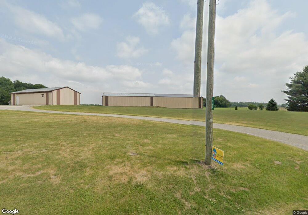
3362 N 800 E Rolling Prairie, IN 46371
Estimated Value: $243,000 - $532,000
4
Beds
3
Baths
2,464
Sq Ft
$158/Sq Ft
Est. Value
About This Home
This home is located at 3362 N 800 E, Rolling Prairie, IN 46371 and is currently estimated at $390,506, approximately $158 per square foot. 3362 N 800 E is a home located in LaPorte County with nearby schools including New Prairie High School.
Create a Home Valuation Report for This Property
The Home Valuation Report is an in-depth analysis detailing your home's value as well as a comparison with similar homes in the area
Home Values in the Area
Average Home Value in this Area
Tax History Compared to Growth
Tax History
| Year | Tax Paid | Tax Assessment Tax Assessment Total Assessment is a certain percentage of the fair market value that is determined by local assessors to be the total taxable value of land and additions on the property. | Land | Improvement |
|---|---|---|---|---|
| 2024 | $2,660 | $264,400 | $47,700 | $216,700 |
| 2023 | $2,581 | $248,600 | $47,700 | $200,900 |
| 2022 | $2,857 | $245,500 | $47,700 | $197,800 |
| 2021 | $2,786 | $230,200 | $47,700 | $182,500 |
| 2020 | $2,833 | $230,200 | $47,700 | $182,500 |
| 2019 | $2,888 | $233,600 | $47,700 | $185,900 |
| 2018 | $2,432 | $208,700 | $36,000 | $172,700 |
| 2017 | $2,179 | $190,400 | $32,500 | $157,900 |
| 2016 | $2,510 | $199,100 | $32,500 | $166,600 |
| 2014 | $2,252 | $211,500 | $24,000 | $187,500 |
Source: Public Records
Map
Nearby Homes
- 7428 E 400 N
- 7674 Potato Hole Ct
- 8196 E Walnut Ridge
- 67 Acres E 300 N
- 55554 County Line Rd
- 33820 Early Rd
- 33810 Early Rd
- 33790 Early Rd
- 33780 Early Rd
- 33770 Early Rd
- 33760 Early Rd
- 33800 Early Rd
- 33750 Early Rd
- 33740 Early Rd
- 33791 Early Rd
- 55420 Forest Cove Ct
- The Gipper Plan at Stone Oak Estates
- The Sorin Plan at Stone Oak Estates
- The Leahy Plan at Stone Oak Estates
- The Ara Plan at Stone Oak Estates