3362 Obsidian Ct High Point, NC 27265
Florence NeighborhoodEstimated Value: $301,674 - $333,000
3
Beds
2
Baths
1,595
Sq Ft
$201/Sq Ft
Est. Value
About This Home
This home is located at 3362 Obsidian Ct, High Point, NC 27265 and is currently estimated at $319,919, approximately $200 per square foot. 3362 Obsidian Ct is a home with nearby schools including Montlieu Academy of Technology, Welborn Academy of Science & Technology, and T.W. Andrews High School.
Ownership History
Date
Name
Owned For
Owner Type
Purchase Details
Closed on
Jul 19, 2018
Sold by
Hazelton Charles R and Hazelton Sharon H
Bought by
Tomlin James A and Tomlin Rebecca A
Current Estimated Value
Home Financials for this Owner
Home Financials are based on the most recent Mortgage that was taken out on this home.
Original Mortgage
$160,000
Outstanding Balance
$138,970
Interest Rate
4.6%
Mortgage Type
New Conventional
Estimated Equity
$180,949
Purchase Details
Closed on
Oct 25, 2013
Sold by
Keystone Group Inc
Bought by
Hazelton Charles R and Hazelton Sharon H
Home Financials for this Owner
Home Financials are based on the most recent Mortgage that was taken out on this home.
Original Mortgage
$138,400
Interest Rate
4.57%
Mortgage Type
New Conventional
Purchase Details
Closed on
Aug 22, 2013
Bought by
Keystone Group Inc
Purchase Details
Closed on
Feb 24, 2005
Bought by
Spka Llc
Create a Home Valuation Report for This Property
The Home Valuation Report is an in-depth analysis detailing your home's value as well as a comparison with similar homes in the area
Home Values in the Area
Average Home Value in this Area
Purchase History
| Date | Buyer | Sale Price | Title Company |
|---|---|---|---|
| Tomlin James A | $200,000 | None Available | |
| Hazelton Charles R | $174,000 | None Available | |
| Keystone Group Inc | $64,000 | -- | |
| Spka Llc | -- | -- |
Source: Public Records
Mortgage History
| Date | Status | Borrower | Loan Amount |
|---|---|---|---|
| Open | Tomlin James A | $160,000 | |
| Previous Owner | Hazelton Charles R | $138,400 |
Source: Public Records
Tax History Compared to Growth
Tax History
| Year | Tax Paid | Tax Assessment Tax Assessment Total Assessment is a certain percentage of the fair market value that is determined by local assessors to be the total taxable value of land and additions on the property. | Land | Improvement |
|---|---|---|---|---|
| 2025 | $2,970 | $215,500 | $55,000 | $160,500 |
| 2024 | $2,970 | $215,500 | $55,000 | $160,500 |
| 2023 | $2,970 | $215,500 | $55,000 | $160,500 |
| 2022 | $2,905 | $215,500 | $55,000 | $160,500 |
| 2021 | $2,265 | $164,400 | $32,000 | $132,400 |
| 2020 | $2,265 | $164,400 | $32,000 | $132,400 |
| 2019 | $2,265 | $164,400 | $0 | $0 |
| 2018 | $0 | $164,400 | $0 | $0 |
| 2017 | $2,265 | $164,400 | $0 | $0 |
| 2016 | $2,098 | $149,600 | $0 | $0 |
| 2015 | $2,109 | $149,600 | $0 | $0 |
| 2014 | $2,145 | $149,600 | $0 | $0 |
Source: Public Records
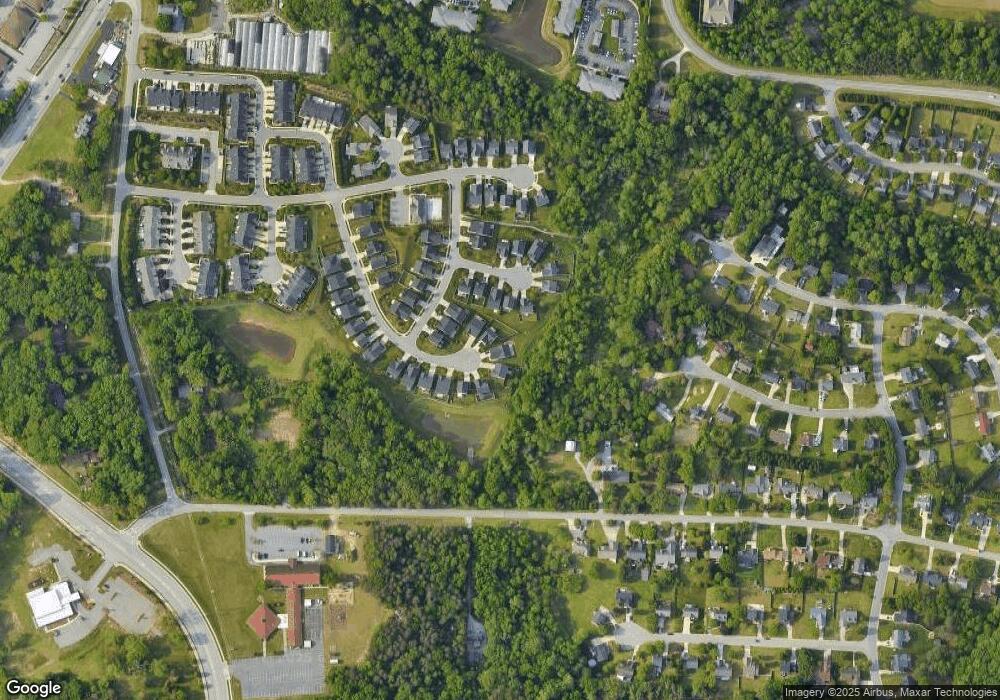
Map
Nearby Homes
- 3521 Sunset Hollow Ct
- 3710 Spanish Peak Dr Unit 2D
- 3724 Spanish Peak Dr Unit 2B
- 3630 Sunset Hollow Dr
- 3741 Georgia Pond Ln
- 2200 Delaine Point
- 2115 Mirus Ct
- 3642 Rock Meadow Cir
- 2632 Maxine Dr
- 1924 Middlewood Ct
- 1935 Eastchester Dr
- 2806 Splitbrooke Dr
- 3960 Cobblestone Bend Dr
- 3973 Cobblestone Bend Dr
- 2982 Cloverwood Dr
- 1906 Greenstone Place
- 4117 Flagstick Ct
- 7549 Sunnyvale Dr
- 2676 Splitbrooke Dr
- 2706 Edenridge Dr