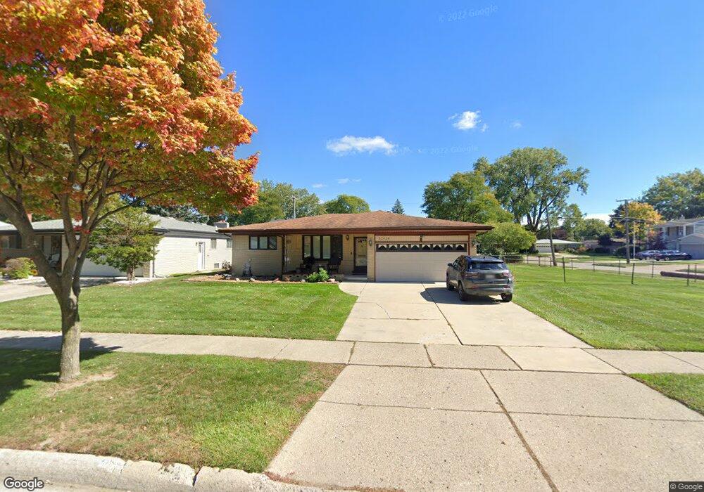
33628 Ashton Dr Unit Bldg-Unit Sterling Heights, MI 48312
Estimated Value: $324,313 - $364,000
3
Beds
3
Baths
1,596
Sq Ft
$216/Sq Ft
Est. Value
About This Home
This home is located at 33628 Ashton Dr Unit Bldg-Unit, Sterling Heights, MI 48312 and is currently estimated at $345,078, approximately $216 per square foot. 33628 Ashton Dr Unit Bldg-Unit is a home located in Macomb County with nearby schools including Black Elementary School, Siersma Elementary School, and Carleton Middle School.
Ownership History
Date
Name
Owned For
Owner Type
Purchase Details
Closed on
Jul 8, 2019
Sold by
Baird Ohlen T and Baird Beverly M
Bought by
Roach Edward and Roach Rosemarie
Current Estimated Value
Home Financials for this Owner
Home Financials are based on the most recent Mortgage that was taken out on this home.
Original Mortgage
$204,300
Outstanding Balance
$178,985
Interest Rate
3.82%
Mortgage Type
New Conventional
Estimated Equity
$166,093
Purchase Details
Closed on
Nov 22, 2011
Sold by
Baird Ohlen T and Baird Beverly M
Bought by
Baird Ohlen T and Baird Beverly M
Create a Home Valuation Report for This Property
The Home Valuation Report is an in-depth analysis detailing your home's value as well as a comparison with similar homes in the area
Home Values in the Area
Average Home Value in this Area
Purchase History
| Date | Buyer | Sale Price | Title Company |
|---|---|---|---|
| Roach Edward | $227,000 | Partners Title Agency Llc | |
| Baird Ohlen T | -- | None Available |
Source: Public Records
Mortgage History
| Date | Status | Borrower | Loan Amount |
|---|---|---|---|
| Open | Roach Edward | $204,300 |
Source: Public Records
Tax History Compared to Growth
Tax History
| Year | Tax Paid | Tax Assessment Tax Assessment Total Assessment is a certain percentage of the fair market value that is determined by local assessors to be the total taxable value of land and additions on the property. | Land | Improvement |
|---|---|---|---|---|
| 2025 | $5,432 | $160,500 | $0 | $0 |
| 2024 | $5,240 | $152,700 | $0 | $0 |
| 2023 | $4,974 | $137,300 | $0 | $0 |
| 2022 | $4,823 | $119,700 | $0 | $0 |
| 2021 | $4,985 | $114,700 | $0 | $0 |
| 2020 | $4,739 | $109,300 | $0 | $0 |
| 2019 | $3,249 | $103,500 | $0 | $0 |
| 2018 | $3,276 | $92,000 | $0 | $0 |
| 2017 | $3,161 | $89,300 | $18,800 | $70,500 |
| 2016 | $3,094 | $89,300 | $0 | $0 |
| 2015 | -- | $83,400 | $0 | $0 |
| 2014 | -- | $68,300 | $0 | $0 |
Source: Public Records
Map
Nearby Homes
- 33695 Shelley Lynne Dr
- 33775 Shelley Lynne Dr
- 8140 Crestview Dr
- 8160 Crestview Drive #2 Dr
- 34025 Inverarry Ct
- 34067 Chatsworth Dr
- 34122 Inverarry Ct
- 11053 Lorman Dr
- 8524 Hickory Dr Unit 8524
- 8432 Hickory Dr
- 32549 Ruehle
- 32529 Pine Ridge Dr
- 11200 Forrer Dr
- 13001 E 14 Mile Rd
- 32095 Linderman Ave
- 8852 Sunrise Dr Unit 4
- 32089 Ruehle Ave
- 35122 Terrybrook Dr Unit 20
- 11366 Chicago Rd
- 11573 Chicago Rd
- 33628 Ashton Dr
- 33646 Ashton Dr
- 33627 Somerset Dr
- 33664 Ashton Dr
- 33645 Somerset Dr
- 8436 Fairfax Dr Unit Bldg-Unit
- 8436 Fairfax Dr
- 33629 Ashton Dr
- 33663 Somerset Dr
- 33643 Ashton Dr
- 33678 Ashton Dr
- 33553 Somerset Dr
- 33677 Somerset Dr
- 33675 Ashton Dr
- 33696 Ashton Dr
- 33537 Somerset Dr
- 33600 Ashton Dr Unit 1
- 33695 Somerset Dr
- 33693 Ashton Dr
- 8366 Fairfax Dr