3363 E Union Rd Dorset, OH 44032
Estimated Value: $279,000 - $412,793
3
Beds
2
Baths
1,768
Sq Ft
$198/Sq Ft
Est. Value
About This Home
This home is located at 3363 E Union Rd, Dorset, OH 44032 and is currently estimated at $350,698, approximately $198 per square foot. 3363 E Union Rd is a home located in Ashtabula County with nearby schools including Rock Creek Elementary School, Jefferson Area Junior High School, and Jefferson Area Senior High School.
Ownership History
Date
Name
Owned For
Owner Type
Purchase Details
Closed on
Feb 2, 2010
Sold by
Ewing Ted Richard and Ewing Barbara S
Bought by
Ewing Ted Richard and Ewing Barbara S
Current Estimated Value
Purchase Details
Closed on
Apr 2, 2009
Sold by
Ewing Ted Richard and Ewing Barbara S
Bought by
Ewing Ted Richard and Ewing Barbara S
Purchase Details
Closed on
Dec 31, 2008
Sold by
Estate Of George W Ewing
Bought by
Ewing Ted Richard
Purchase Details
Closed on
Jun 1, 2003
Sold by
Ewing George W
Bought by
Ewing George W
Create a Home Valuation Report for This Property
The Home Valuation Report is an in-depth analysis detailing your home's value as well as a comparison with similar homes in the area
Purchase History
| Date | Buyer | Sale Price | Title Company |
|---|---|---|---|
| Ewing Ted Richard | -- | Attorney | |
| Ewing Ted Richard | -- | Attorney | |
| Ewing Ted Richard | -- | Attorney | |
| Ewing George W | -- | -- |
Source: Public Records
Tax History
| Year | Tax Paid | Tax Assessment Tax Assessment Total Assessment is a certain percentage of the fair market value that is determined by local assessors to be the total taxable value of land and additions on the property. | Land | Improvement |
|---|---|---|---|---|
| 2024 | $6,615 | $121,530 | $66,120 | $55,410 |
| 2023 | $3,540 | $121,530 | $66,120 | $55,410 |
| 2022 | $2,356 | $90,450 | $50,860 | $39,590 |
| 2021 | $2,381 | $90,450 | $50,860 | $39,590 |
| 2020 | $2,340 | $90,450 | $50,860 | $39,590 |
| 2019 | $2,665 | $81,940 | $45,190 | $36,750 |
| 2018 | $2,560 | $81,940 | $45,190 | $36,750 |
| 2017 | $2,864 | $81,940 | $45,190 | $36,750 |
| 2016 | $3,193 | $74,140 | $40,010 | $34,130 |
| 2015 | $3,172 | $74,140 | $40,010 | $34,130 |
| 2014 | $3,086 | $74,140 | $40,010 | $34,130 |
| 2013 | $2,281 | $72,490 | $34,900 | $37,590 |
Source: Public Records
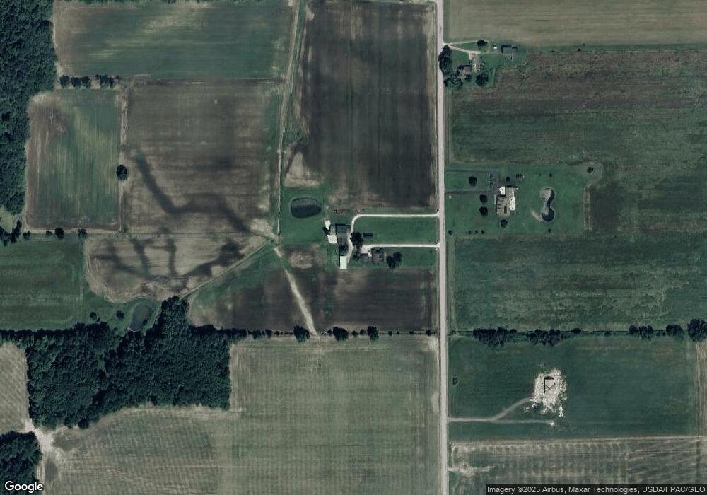
Map
Nearby Homes
- 0 Marrian Rd Unit LotWP001
- 0 Marrian Rd Unit 5193751
- 0 Tompkins Rd Unit 5184134
- 951 Chappell Rd
- 0 Clay Rd
- 3522 Footville-Richmond Rd
- 2831 S Denmark Rd
- 876 Clay Rd
- 2335 Morning Star Dr
- 2107 N Park Ln
- 2114 N Park Ln
- 2154 Flame Lake Dr
- 2069 S Park Ln
- 2018 Flame Lake Dr
- 2023 Flame Lake Dr
- 2498 Hayford Rd
- 2204 Deer Run
- 800 Lenox New Lyme Rd
- 1531 Lake Crest Dr
- 138 E Cedar St
- 3294 E Union Rd
- V/L E Union Rd
- 0 E Union Rd
- 0 E Union Rd
- 0 East Union Unit 2488872
- 0 Union Unit 3227351
- 3342 E Union Rd
- 3233 E Union Rd
- 3499 E Union Rd
- 3216 E Union Rd
- 3211 E Union Rd
- 3190 E Union Rd
- 3544 E Union Rd
- 3143 E Union Rd
- 3131 E Union Rd
- 3122 E Union Rd
- 3566 E Union Rd
- 3083 E Union Rd
- 3616 E East Union Rd
- 3631 E Union Rd
Your Personal Tour Guide
Ask me questions while you tour the home.