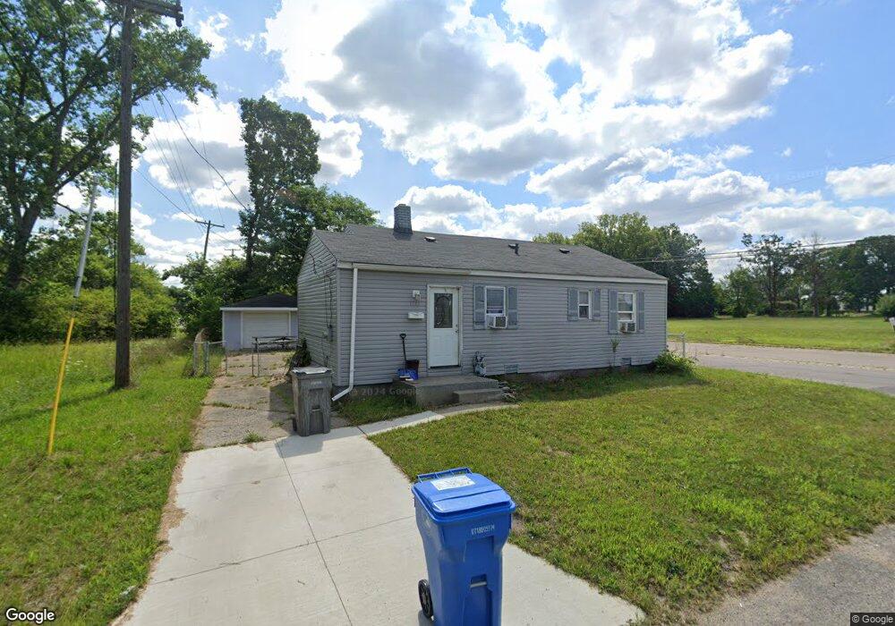
3363 Manning Dr Inkster, MI 48141
Estimated Value: $94,000 - $133,631
3
Beds
1
Bath
1,026
Sq Ft
$110/Sq Ft
Est. Value
About This Home
This home is located at 3363 Manning Dr, Inkster, MI 48141 and is currently estimated at $112,408, approximately $109 per square foot. 3363 Manning Dr is a home located in Wayne County with nearby schools including Taylor Parks Elementary School, Hoover Middle School, and Taylor High School.
Ownership History
Date
Name
Owned For
Owner Type
Purchase Details
Closed on
Jun 23, 2020
Sold by
Urbano Mr Michael
Bought by
Lincoln Jerald
Current Estimated Value
Purchase Details
Closed on
Nov 10, 2015
Sold by
Treasurer Of The Charter County Of Wayne
Bought by
Urbano Michael L
Purchase Details
Closed on
Jan 19, 2011
Sold by
New Home Builders Inc
Bought by
Cook Michael D and Cook Mary J
Purchase Details
Closed on
Nov 26, 2007
Sold by
Wojtowicz Raymond J and Charter County Of Wayne
Bought by
New Home Builders Inc
Create a Home Valuation Report for This Property
The Home Valuation Report is an in-depth analysis detailing your home's value as well as a comparison with similar homes in the area
Home Values in the Area
Average Home Value in this Area
Purchase History
| Date | Buyer | Sale Price | Title Company |
|---|---|---|---|
| Lincoln Jerald | -- | None Available | |
| Urbano Michael L | $500 | None Available | |
| Cook Michael D | -- | None Available | |
| New Home Builders Inc | $4,000 | None Available |
Source: Public Records
Tax History Compared to Growth
Tax History
| Year | Tax Paid | Tax Assessment Tax Assessment Total Assessment is a certain percentage of the fair market value that is determined by local assessors to be the total taxable value of land and additions on the property. | Land | Improvement |
|---|---|---|---|---|
| 2025 | $776 | $31,900 | $0 | $0 |
| 2024 | $776 | $25,900 | $0 | $0 |
| 2023 | $2,114 | $19,300 | $0 | $0 |
| 2022 | $2,212 | $16,100 | $0 | $0 |
| 2021 | $3,664 | $14,700 | $0 | $0 |
| 2020 | $1,948 | $13,000 | $0 | $0 |
| 2019 | $1,302 | $12,000 | $0 | $0 |
| 2018 | $633 | $9,100 | $0 | $0 |
| 2017 | $614 | $8,300 | $0 | $0 |
| 2016 | $654 | $7,400 | $0 | $0 |
| 2015 | $620 | $6,200 | $0 | $0 |
| 2013 | $860 | $8,600 | $0 | $0 |
| 2012 | $670 | $9,800 | $1,200 | $8,600 |
Source: Public Records
Map
Nearby Homes
- 3543 Spring Hill Ave
- 3235 Isabelle St
- 3509 Harrison St
- 3146 Walnut St
- Vacant Wayland Ct
- 3155 Walnut St
- 29978 Carlysle St
- 28222 Carlysle St
- 4080 Isabelle St
- 3429 Ash St
- 3512 Hickory St
- 29600 Pine St
- 3514 Spruce St
- 3240 Spruce St
- 2321 Isabelle St
- 4315 Isabelle St
- 29038 York St
- 29026 York St
- Vacant Spruce St
- 29119 York St
- 3345 Manning Dr
- 3358 Ludington St
- 3364 Manning Dr
- 3329 Manning Dr
- 3330 Manning Dr
- 3332 Ludington St
- 3320 Manning Dr
- 3309 Manning Dr
- 3349 Ludington St
- 3322 Ludington St
- 3310 Manning Dr
- 3331 Ludington St
- 3312 Ludington St
- 3300 Manning Dr
- 3317 Ludington St
- 3358 Kewadin St
- 3300 Ludington St
- 3342 Kewadin St
- 3307 Ludington St
- 3336 Kewadin St