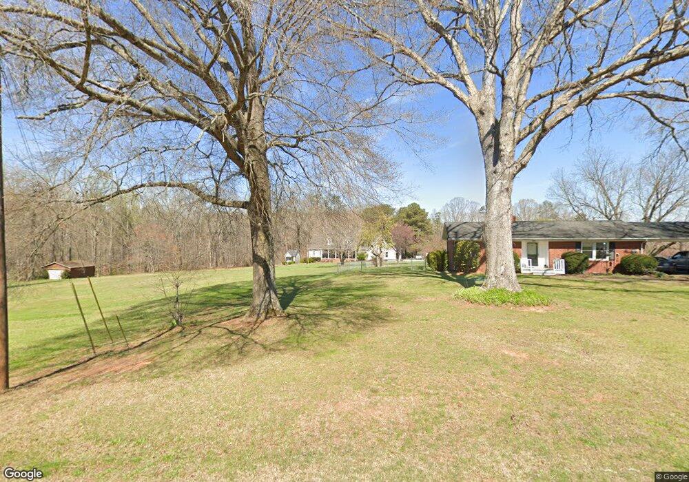
33637A Mann Rd Albemarle, NC 28001
Estimated Value: $350,000 - $479,966
4
Beds
4
Baths
2,474
Sq Ft
$172/Sq Ft
Est. Value
About This Home
This home is located at 33637A Mann Rd, Albemarle, NC 28001 and is currently estimated at $426,242, approximately $172 per square foot. 33637A Mann Rd is a home located in Stanly County with nearby schools including Millingport Elementary School, North Stanly Middle School, and North Stanly High School.
Ownership History
Date
Name
Owned For
Owner Type
Purchase Details
Closed on
Feb 21, 2019
Sold by
Harrington Myron G and Harrington Andrea B
Bought by
Wall Eddie and Wall Ashley
Current Estimated Value
Home Financials for this Owner
Home Financials are based on the most recent Mortgage that was taken out on this home.
Original Mortgage
$291,620
Outstanding Balance
$253,763
Interest Rate
4.4%
Mortgage Type
FHA
Estimated Equity
$172,479
Create a Home Valuation Report for This Property
The Home Valuation Report is an in-depth analysis detailing your home's value as well as a comparison with similar homes in the area
Purchase History
| Date | Buyer | Sale Price | Title Company |
|---|---|---|---|
| Wall Eddie | $297,000 | None Available |
Source: Public Records
Mortgage History
| Date | Status | Borrower | Loan Amount |
|---|---|---|---|
| Open | Wall Eddie | $291,620 |
Source: Public Records
Tax History
| Year | Tax Paid | Tax Assessment Tax Assessment Total Assessment is a certain percentage of the fair market value that is determined by local assessors to be the total taxable value of land and additions on the property. | Land | Improvement |
|---|---|---|---|---|
| 2025 | $2,308 | $392,902 | $58,400 | $334,502 |
| 2024 | $2,043 | $297,164 | $31,750 | $265,414 |
| 2023 | $2,043 | $297,164 | $31,750 | $265,414 |
| 2022 | $2,140 | $297,164 | $31,750 | $265,414 |
| 2021 | $2,138 | $297,164 | $31,750 | $265,414 |
| 2020 | $1,831 | $235,413 | $28,100 | $207,313 |
| 2019 | $1,828 | $233,158 | $25,845 | $207,313 |
| 2018 | $1,594 | $213,263 | $25,845 | $187,418 |
| 2017 | $1,594 | $213,263 | $25,845 | $187,418 |
| 2016 | $1,528 | $204,412 | $22,950 | $181,462 |
| 2015 | $1,614 | $204,412 | $22,950 | $181,462 |
| 2014 | $1,604 | $204,412 | $22,950 | $181,462 |
Source: Public Records
Map
Nearby Homes
- 33633 Mann Rd
- 33266 Courtland Dr
- 32874 Old Salisbury Rd
- 1604 Salisbury Ave
- 0 Snuggs Park Rd
- 1416 Salisbury Ave
- 1315 Reid St
- 1329 Columbus St
- 1001 Pine St
- 1240 Hollywood Terrace
- 0 Pennington Rd Unit CAR4263058
- 418 Woodcrest Ln
- 415 Brenda Dr
- 000 Long St Unit 21,22,23,24
- 526 Graham St
- 29390 A Pennington Rd
- 610 Watts St
- 1206 Wiscassett St
- 10.02 Ash St
- 911 Hill St
- 33637 Mann Rd
- 33645 Mann Rd
- 33632 Mann Rd
- 33575 Mann Rd
- 33652 Mann Rd
- 33173 Old Salisbury Rd
- 33590 Mann Rd
- 33569 Mann Rd
- 33276 Smith Plyler Rd
- 33570 Mann Rd
- 33248 Smith Plyler Rd
- 33549 Mann Rd
- 33292 Smith Plyler Rd
- 33269 Courtland Dr
- VAC Courtland Dr
- 32530 Charlie Rd
- 33246 Courtland Dr
- 32533 Charlie Rd
- 33531 Mann Rd
- 33253 Courtland Dr
Your Personal Tour Guide
Ask me questions while you tour the home.