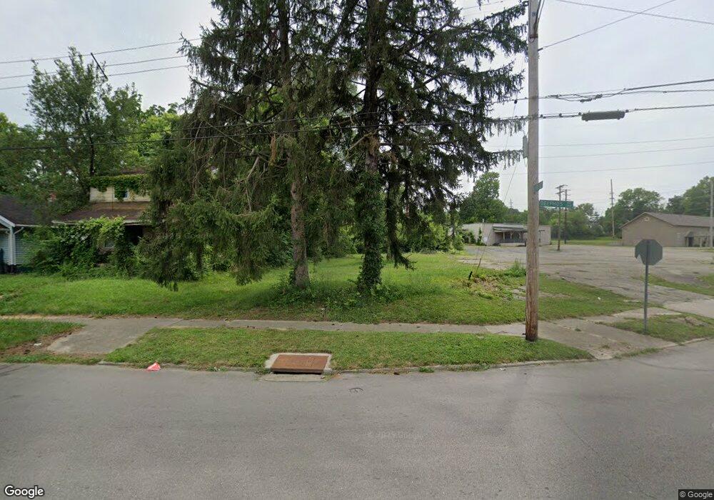
3364 Delphos Ave Dayton, OH 45417
Westwood NeighborhoodEstimated Value: $53,000
2
Beds
1
Bath
1,144
Sq Ft
$46/Sq Ft
Est. Value
About This Home
This home is located at 3364 Delphos Ave, Dayton, OH 45417 and is currently priced at $53,000, approximately $46 per square foot. 3364 Delphos Ave is a home located in Montgomery County with nearby schools including International School at Residence Park, Westwood Elementary, and Louise Troy Elementary.
Ownership History
Date
Name
Owned For
Owner Type
Purchase Details
Closed on
Jun 21, 2022
Sold by
Montgomery County Land Reutilization Cor
Bought by
City Of Dayton
Current Estimated Value
Purchase Details
Closed on
Jun 30, 2017
Sold by
Houston Latasha
Bought by
Montgomery County Land Reutilization Co
Purchase Details
Closed on
Jul 20, 2007
Sold by
Houston Larry D and Houston Deborah
Bought by
Houston Latasha
Purchase Details
Closed on
Jun 10, 1996
Sold by
Ledbetter Sarah and Ledbetter Earl
Bought by
Houston Larry D and Houston Deborah
Create a Home Valuation Report for This Property
The Home Valuation Report is an in-depth analysis detailing your home's value as well as a comparison with similar homes in the area
Home Values in the Area
Average Home Value in this Area
Purchase History
| Date | Buyer | Sale Price | Title Company |
|---|---|---|---|
| City Of Dayton | $14,000 | Costello Shannon L | |
| Montgomery County Land Reutilization Co | -- | Attorney | |
| Houston Latasha | -- | None Available | |
| Houston Larry D | $22,000 | -- |
Source: Public Records
Tax History Compared to Growth
Tax History
| Year | Tax Paid | Tax Assessment Tax Assessment Total Assessment is a certain percentage of the fair market value that is determined by local assessors to be the total taxable value of land and additions on the property. | Land | Improvement |
|---|---|---|---|---|
| 2024 | $1 | $1,980 | $1,980 | -- |
| 2023 | $1 | $1,980 | $1,980 | $0 |
| 2022 | $23 | $1,980 | $1,980 | $0 |
| 2021 | $23 | $1,980 | $1,980 | $0 |
| 2020 | $23 | $1,980 | $1,980 | $0 |
| 2019 | $29 | $1,980 | $1,980 | $0 |
| 2018 | $102 | $3,900 | $1,980 | $1,920 |
| 2017 | $29 | $3,900 | $1,980 | $1,920 |
| 2016 | $410 | $3,980 | $1,980 | $2,000 |
| 2015 | $720 | $3,980 | $1,980 | $2,000 |
| 2014 | $720 | $3,980 | $1,980 | $2,000 |
| 2012 | -- | $4,890 | $3,210 | $1,680 |
Source: Public Records
Map
Nearby Homes
- 309 Leland Ave
- 314 N Upland Ave Unit 312
- 227 Walton Ave
- 222 N Decker Ave
- 320 Huron Ave
- 221 Brooklyn Ave
- 71 N Alder St
- 79 N Alder St
- 2905 W Third St
- 524 Crestmore Ave
- 308 Brooklyn Ave
- 432 N Gettysburg Ave
- 532 Crestmore Ave
- 45 S Trenton St
- 19 S Alder St Unit 21
- 712 N Gettysburg Ave
- 605 N Gettysburg Ave
- 113 Anna St
- 0 N Gettysburg Ave
- 58 Anna St
- 3360 Delphos Ave
- 3356 Delphos Ave
- 3352 Delphos Ave
- 3353 W 2nd St
- 3349 W 2nd St
- 3345 W 2nd St
- 3340 Delphos Ave
- 3329 Delphos Ave
- 132 N Upland Ave
- 207 Burleigh Ave
- 3341 W 2nd St
- 3445 Delphos Ave
- 3424 Delphos Ave
- 3336 Delphos Ave
- 128 N Halloway St
- 3337 W 2nd St
- 215 Burleigh Ave
- 124 N Upland Ave
- 3333 W 2nd St
- 3332 Delphos Ave