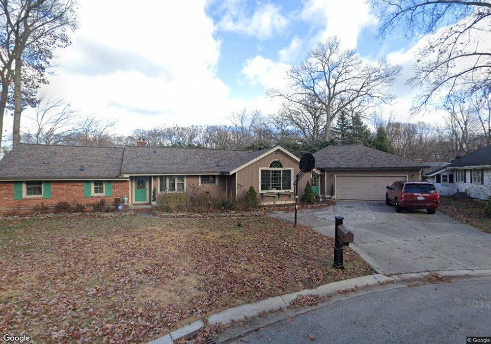
3364 Hickory Ln Port Huron, MI 48060
Estimated Value: $264,000 - $314,000
4
Beds
2
Baths
1,531
Sq Ft
$186/Sq Ft
Est. Value
About This Home
This home is located at 3364 Hickory Ln, Port Huron, MI 48060 and is currently estimated at $284,094, approximately $185 per square foot. 3364 Hickory Ln is a home located in St. Clair County with nearby schools including H.D. Crull Elementary School, Holland Woods Middle School, and Port Huron Northern High School.
Ownership History
Date
Name
Owned For
Owner Type
Purchase Details
Closed on
Feb 4, 2010
Sold by
Brynaert Allison and Brynaert Darryl R
Bought by
Hsbc Bank Usa National Association
Current Estimated Value
Purchase Details
Closed on
Sep 15, 2006
Sold by
Kendrick James R and Kendrick Jeanette F
Bought by
Brynaert Darryl B and Brynaert Allison
Home Financials for this Owner
Home Financials are based on the most recent Mortgage that was taken out on this home.
Original Mortgage
$164,000
Interest Rate
9.39%
Mortgage Type
Adjustable Rate Mortgage/ARM
Create a Home Valuation Report for This Property
The Home Valuation Report is an in-depth analysis detailing your home's value as well as a comparison with similar homes in the area
Home Values in the Area
Average Home Value in this Area
Purchase History
| Date | Buyer | Sale Price | Title Company |
|---|---|---|---|
| Hsbc Bank Usa National Association | $101,000 | None Available | |
| Brynaert Darryl B | $205,000 | None Available |
Source: Public Records
Mortgage History
| Date | Status | Borrower | Loan Amount |
|---|---|---|---|
| Previous Owner | Brynaert Darryl B | $164,000 |
Source: Public Records
Tax History Compared to Growth
Tax History
| Year | Tax Paid | Tax Assessment Tax Assessment Total Assessment is a certain percentage of the fair market value that is determined by local assessors to be the total taxable value of land and additions on the property. | Land | Improvement |
|---|---|---|---|---|
| 2025 | $2,991 | $121,700 | $0 | $0 |
| 2024 | $2,586 | $118,100 | $0 | $0 |
| 2023 | $2,443 | $106,900 | $0 | $0 |
| 2022 | $2,616 | $97,100 | $0 | $0 |
| 2021 | $2,482 | $91,400 | $0 | $0 |
| 2020 | $2,511 | $80,600 | $80,600 | $0 |
| 2019 | $2,466 | $58,400 | $0 | $0 |
| 2018 | $2,411 | $58,400 | $0 | $0 |
| 2017 | $2,152 | $58,400 | $0 | $0 |
| 2016 | $1,849 | $58,400 | $0 | $0 |
| 2015 | $1,814 | $56,500 | $56,500 | $0 |
| 2014 | $1,814 | $53,900 | $53,900 | $0 |
| 2013 | -- | $49,800 | $0 | $0 |
Source: Public Records
Map
Nearby Homes
- 3419 Riverside Dr
- 3208 Mount Vernon Rd
- 1424 Hazelwood Ln
- 2835 17th Ave
- 3515 Strawberry Ln
- 2927 Cooper Ave
- 2812 19th Ave
- 1531 Robinson St
- 2857 Riverside Dr
- 3214 Poplar St
- 2913 11th Ave
- 3321 Stone St
- 1434 Schumaker St
- 1020 Sanborn St
- 1202 Palmer Ct
- 3196 Oakwood Dr
- 1218 Garfield St
- 2806 Woodstock Dr
- 3455 Gratiot Ave
- 2549 Riverwood Dr
- 3356 Hickory Ln
- 3401 Pine Grove Ave
- 3352 Hickory Ln
- 3407 Pine Grove Ave
- 3403 Pine Grove Ave
- 3413 Pine Grove Ave
- 3357 Pine Grove Ave
- 3419 Pine Grove Ave
- 3344 Hickory Ln
- 3351 Pine Grove Ave
- 3353 Hickory Ln
- 3423 Pine Grove Ave
- 3422 Riverside Dr
- 3418 Riverside Dr
- 3357 Hickory Ln
- 3429 Pine Grove Ave
- 3404 Riverside Dr Unit Bldg-Unit
- 3404 Riverside Dr
- 3430 Riverside Dr
- 3338 Riverside Dr