3365 Canal Rd NE Millersport, OH 43046
Estimated Value: $387,000 - $535,000
3
Beds
1
Bath
2,544
Sq Ft
$173/Sq Ft
Est. Value
About This Home
This home is located at 3365 Canal Rd NE, Millersport, OH 43046 and is currently estimated at $440,673, approximately $173 per square foot. 3365 Canal Rd NE is a home located in Fairfield County with nearby schools including Liberty Union Elementary School, Liberty Union Middle School, and Liberty Union High School.
Ownership History
Date
Name
Owned For
Owner Type
Purchase Details
Closed on
Apr 9, 1998
Sold by
Coleman Jeffrey B
Bought by
Mcgloin Phillip E and Mcgloin Tammy J
Current Estimated Value
Home Financials for this Owner
Home Financials are based on the most recent Mortgage that was taken out on this home.
Original Mortgage
$117,500
Outstanding Balance
$29,263
Interest Rate
7.19%
Mortgage Type
New Conventional
Estimated Equity
$411,410
Purchase Details
Closed on
Apr 30, 1996
Sold by
Coleman Jeffrey B
Bought by
Biggie Edgar J and Biggie Teresa K
Home Financials for this Owner
Home Financials are based on the most recent Mortgage that was taken out on this home.
Original Mortgage
$102,000
Interest Rate
7.91%
Mortgage Type
New Conventional
Create a Home Valuation Report for This Property
The Home Valuation Report is an in-depth analysis detailing your home's value as well as a comparison with similar homes in the area
Home Values in the Area
Average Home Value in this Area
Purchase History
| Date | Buyer | Sale Price | Title Company |
|---|---|---|---|
| Mcgloin Phillip E | $37,500 | -- | |
| Biggie Edgar J | $127,500 | -- |
Source: Public Records
Mortgage History
| Date | Status | Borrower | Loan Amount |
|---|---|---|---|
| Open | Mcgloin Phillip E | $117,500 | |
| Previous Owner | Biggie Edgar J | $102,000 |
Source: Public Records
Tax History Compared to Growth
Tax History
| Year | Tax Paid | Tax Assessment Tax Assessment Total Assessment is a certain percentage of the fair market value that is determined by local assessors to be the total taxable value of land and additions on the property. | Land | Improvement |
|---|---|---|---|---|
| 2024 | $6,309 | $93,600 | $29,280 | $64,320 |
| 2023 | $3,524 | $93,600 | $29,280 | $64,320 |
| 2022 | $3,499 | $93,600 | $29,280 | $64,320 |
| 2021 | $3,079 | $75,020 | $24,400 | $50,620 |
| 2020 | $3,151 | $75,020 | $24,400 | $50,620 |
| 2019 | $3,205 | $75,020 | $24,400 | $50,620 |
| 2018 | $2,429 | $52,270 | $22,490 | $29,780 |
| 2017 | $2,387 | $51,160 | $22,490 | $28,670 |
| 2016 | $2,198 | $51,160 | $22,490 | $28,670 |
| 2015 | $2,121 | $48,690 | $22,490 | $26,200 |
| 2014 | $2,032 | $48,690 | $22,490 | $26,200 |
| 2013 | $2,032 | $48,690 | $22,490 | $26,200 |
Source: Public Records
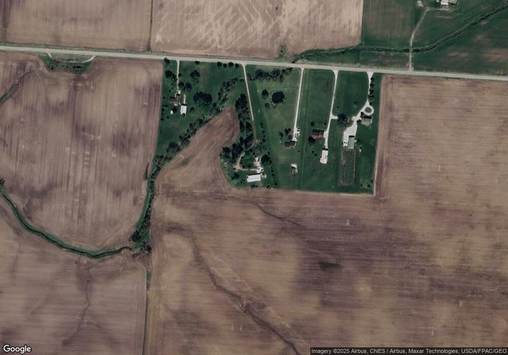
Map
Nearby Homes
- 0 Lake Rd NE
- 10159 Lake Rd NE
- 3520 Baltimore Somerset Rd NE
- 0 Baltimore Somerset Rd NE
- 8105 Long St
- 2500 Main St
- 8101 High St
- 8095 High St
- 2161 E Main St
- 8061 Maple St
- 11253 Millersport Rd
- 9915 Lancaster-Newark Rd NE
- 2583 Mallard Point Ln
- 5831 Canal Rd NE
- 0 Blacklick-Eastern Rd NE
- 3317 S Bank Rd NE
- 3333 S Bank Rd NE
- 3427 S Bank Rd NE
- 2484 Mallard Point Ln
- 10121 Ohio 188
- 3427 Canal Rd NE
- 3449 Canal Rd NE
- 3491 Canal Rd NE
- 3301 Canal Rd NE
- 0 Canal Rd NE
- 0 Canal Rd NE Unit 2735138
- 0 Canal Rd NE Unit 2654236
- 0 Canal Rd NE Unit 2526120
- 0 Canal Rd NE Unit 2427601
- 0 Canal Rd NE Unit 2427390
- 0 Canal Rd NE Unit 2427356
- 0 Canal Rd NE Unit 2311084
- 0 Canal Rd NE Unit 2311067
- 0 Canal Rd NE Unit 2311081
- 0 Canal Rd NE Unit 2311089
- 0 Canal Rd NE Unit 2311077
- 0 Canal Rd NE Unit 2311070
- 0 Canal Rd NE Unit 2311061
- 0 Canal Rd NE Unit 2311074
- 0 Canal Rd NE Unit 211005600