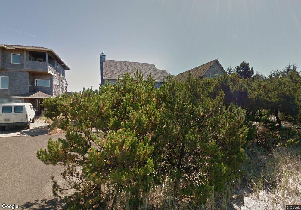
33650 High Tide Rd Cloverdale, OR 97112
Estimated Value: $591,000 - $1,196,000
3
Beds
3
Baths
2,582
Sq Ft
$378/Sq Ft
Est. Value
About This Home
This home is located at 33650 High Tide Rd, Cloverdale, OR 97112 and is currently estimated at $974,848, approximately $377 per square foot. 33650 High Tide Rd is a home located in Tillamook County with nearby schools including Nestucca K-8 School and Nestucca High School.
Ownership History
Date
Name
Owned For
Owner Type
Purchase Details
Closed on
Oct 27, 2015
Sold by
Perryman Marion Jo
Bought by
Concannon Patrick R and Concannon Lynne D
Current Estimated Value
Home Financials for this Owner
Home Financials are based on the most recent Mortgage that was taken out on this home.
Original Mortgage
$400,000
Outstanding Balance
$164,566
Interest Rate
3.87%
Mortgage Type
New Conventional
Estimated Equity
$810,282
Purchase Details
Closed on
Mar 13, 2013
Sold by
Perryman Marion Jo
Bought by
Perryman Marion Jo and Marion Jo Perryma Revocable Living Trust
Purchase Details
Closed on
Dec 19, 2012
Sold by
Leyrer Marion Jean
Bought by
Perryman Marion Jo
Create a Home Valuation Report for This Property
The Home Valuation Report is an in-depth analysis detailing your home's value as well as a comparison with similar homes in the area
Home Values in the Area
Average Home Value in this Area
Purchase History
| Date | Buyer | Sale Price | Title Company |
|---|---|---|---|
| Concannon Patrick R | $575,000 | First American | |
| Perryman Marion Jo | -- | None Available | |
| Perryman Marion Jo | -- | None Available |
Source: Public Records
Mortgage History
| Date | Status | Borrower | Loan Amount |
|---|---|---|---|
| Open | Concannon Patrick R | $400,000 |
Source: Public Records
Tax History Compared to Growth
Tax History
| Year | Tax Paid | Tax Assessment Tax Assessment Total Assessment is a certain percentage of the fair market value that is determined by local assessors to be the total taxable value of land and additions on the property. | Land | Improvement |
|---|---|---|---|---|
| 2024 | $5,631 | $461,220 | $146,680 | $314,540 |
| 2023 | $5,593 | $447,790 | $142,410 | $305,380 |
| 2022 | $5,398 | $434,750 | $138,270 | $296,480 |
| 2021 | $5,271 | $422,090 | $134,240 | $287,850 |
| 2020 | $5,146 | $409,800 | $130,340 | $279,460 |
| 2019 | $5,034 | $397,870 | $126,540 | $271,330 |
| 2018 | $4,624 | $386,290 | $122,860 | $263,430 |
| 2017 | $4,231 | $375,040 | $119,280 | $255,760 |
| 2016 | $4,160 | $364,120 | $115,800 | $248,320 |
| 2015 | $4,067 | $353,520 | $112,430 | $241,090 |
| 2014 | $3,987 | $343,230 | $109,160 | $234,070 |
| 2013 | -- | $333,240 | $105,980 | $227,260 |
Source: Public Records
Map
Nearby Homes
- 34475 Brooten Rd
- 5950 Neptune Dr
- 34320 Cape Kiwanda Dr
- 5904 Barefoot Ln
- 6925 Parker St
- 34270 Sea Swallow Dr
- 5930 Summerhouse Ln
- 34700 Hill St
- 5706 Four Sisters Ln
- 6930 Parker St
- TL 2714 Tent St
- 0 Dory Pointe Loop Unit TL8100 229390931
- 5685 Barefoot Ln
- 33520 Cape Kiwanda Dr
- 5755 Barefoot Ln
- 6415 Dory Pointe Loop
- 33495 Cape Kiwanda Dr
- TL8100 Dory Pointe Loop
- 33515 Madrona Dr
- 33480 Ferry St
- 33650 High Tide Dr
- 33660 High Tide Dr
- 33820 Rip Tide Dr
- 33670 High Tide Dr
- 33670 High Tide Dr
- 33685 High Tide Dr
- 33685 High Tide Rd
- 33830 Rip Tide Dr
- 33690 High Tide Rd
- 33830 Rip Tide Rd
- 0 Tl5300nestucca Ridge Rd Unit 14631085
- 6605 Nestucca Ridge Rd
- 0 High Tide Rd Unit 8016576
- 0 High Tide Rd Unit 65 11573781
- 0 High Tide Rd Unit 69
- 6705 Nestucca Ridge Rd
- 33700 High Tide Dr
- 33690 High Tide Dr
- 33705 High Tide Dr
- 33850 Rip Tide Dr