3366 Obsidian Ct High Point, NC 27265
Florence NeighborhoodEstimated Value: $341,647 - $374,000
4
Beds
3
Baths
2,196
Sq Ft
$163/Sq Ft
Est. Value
About This Home
This home is located at 3366 Obsidian Ct, High Point, NC 27265 and is currently estimated at $358,162, approximately $163 per square foot. 3366 Obsidian Ct is a home with nearby schools including Montlieu Academy of Technology, Welborn Academy of Science & Technology, and T.W. Andrews High School.
Ownership History
Date
Name
Owned For
Owner Type
Purchase Details
Closed on
Sep 30, 2013
Sold by
Keystone Group Inc
Bought by
Birkemeier Brian J and Birkemeier Kristen
Current Estimated Value
Home Financials for this Owner
Home Financials are based on the most recent Mortgage that was taken out on this home.
Original Mortgage
$170,396
Outstanding Balance
$127,491
Interest Rate
4.39%
Mortgage Type
New Conventional
Estimated Equity
$230,671
Purchase Details
Closed on
Aug 22, 2013
Bought by
Keystone Group Inc
Home Financials for this Owner
Home Financials are based on the most recent Mortgage that was taken out on this home.
Original Mortgage
$170,396
Outstanding Balance
$127,491
Interest Rate
4.39%
Mortgage Type
New Conventional
Estimated Equity
$230,671
Purchase Details
Closed on
Feb 24, 2005
Bought by
Spka Llc
Create a Home Valuation Report for This Property
The Home Valuation Report is an in-depth analysis detailing your home's value as well as a comparison with similar homes in the area
Home Values in the Area
Average Home Value in this Area
Purchase History
| Date | Buyer | Sale Price | Title Company |
|---|---|---|---|
| Birkemeier Brian J | $179,500 | None Available | |
| Keystone Group Inc | $64,000 | -- | |
| Spka Llc | -- | -- |
Source: Public Records
Mortgage History
| Date | Status | Borrower | Loan Amount |
|---|---|---|---|
| Open | Birkemeier Brian J | $170,396 |
Source: Public Records
Tax History Compared to Growth
Tax History
| Year | Tax Paid | Tax Assessment Tax Assessment Total Assessment is a certain percentage of the fair market value that is determined by local assessors to be the total taxable value of land and additions on the property. | Land | Improvement |
|---|---|---|---|---|
| 2025 | $3,431 | $249,000 | $55,000 | $194,000 |
| 2024 | $3,431 | $249,000 | $55,000 | $194,000 |
| 2023 | $3,431 | $249,000 | $55,000 | $194,000 |
| 2022 | $3,357 | $249,000 | $55,000 | $194,000 |
| 2021 | $2,570 | $186,500 | $32,000 | $154,500 |
| 2020 | $2,570 | $186,500 | $32,000 | $154,500 |
| 2019 | $2,570 | $186,500 | $0 | $0 |
| 2018 | $2,557 | $186,500 | $0 | $0 |
| 2017 | $2,557 | $186,500 | $0 | $0 |
| 2016 | $2,400 | $171,100 | $0 | $0 |
| 2015 | $2,413 | $171,100 | $0 | $0 |
| 2014 | $2,454 | $171,100 | $0 | $0 |
Source: Public Records
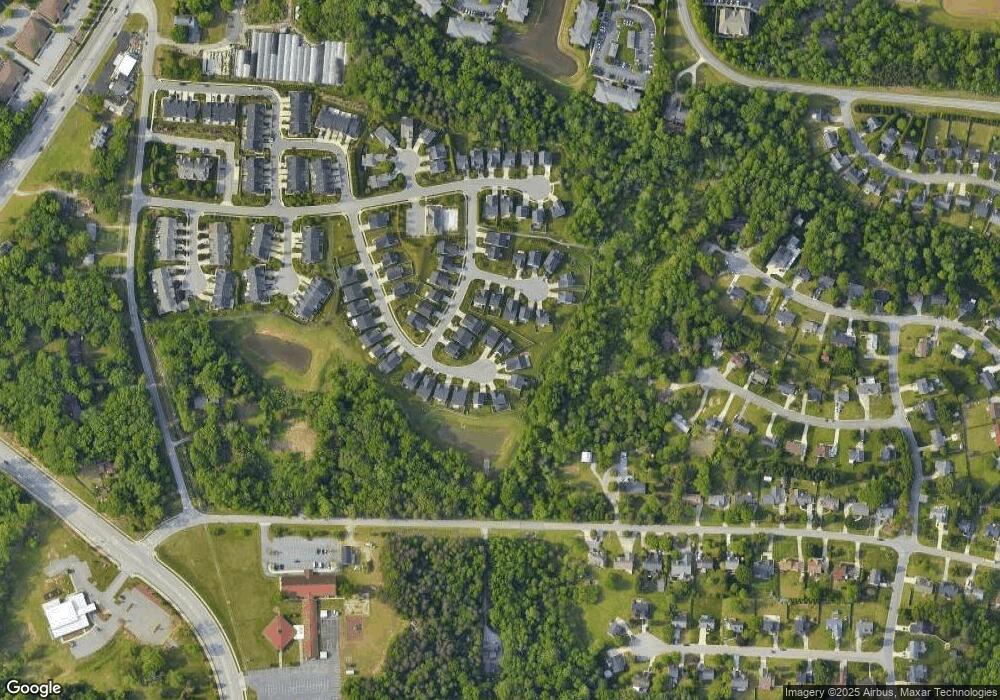
Map
Nearby Homes
- 3521 Sunset Hollow Ct
- 3710 Spanish Peak Dr Unit 2D
- 3724 Spanish Peak Dr Unit 2B
- 3630 Sunset Hollow Dr
- 2200 Delaine Point
- 2115 Mirus Ct
- 3741 Georgia Pond Ln
- 3642 Rock Meadow Cir
- 1924 Middlewood Ct
- 1935 Eastchester Dr
- 2632 Maxine Dr
- 2806 Splitbrooke Dr
- 3960 Cobblestone Bend Dr
- 3973 Cobblestone Bend Dr
- 2982 Cloverwood Dr
- 1906 Greenstone Place
- 7549 Sunnyvale Dr
- 4117 Flagstick Ct
- 4404 Essex Ct
- 2676 Splitbrooke Dr