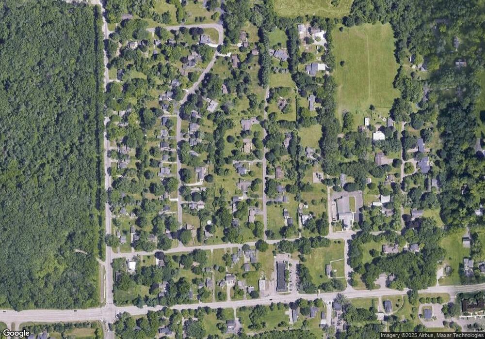
3367 Alan Mark Dr Ann Arbor, MI 48105
Thurston NeighborhoodEstimated Value: $731,000 - $863,000
4
Beds
3
Baths
2,684
Sq Ft
$287/Sq Ft
Est. Value
About This Home
This home is located at 3367 Alan Mark Dr, Ann Arbor, MI 48105 and is currently estimated at $770,543, approximately $287 per square foot. 3367 Alan Mark Dr is a home located in Washtenaw County with nearby schools including Thurston Elementary School, Clague Middle School, and Huron High School.
Ownership History
Date
Name
Owned For
Owner Type
Purchase Details
Closed on
Jan 11, 2017
Sold by
Murphy Clifford S and Powers Sherry L
Bought by
Murphy Clifford S and Powers Murphy Sherry L
Current Estimated Value
Home Financials for this Owner
Home Financials are based on the most recent Mortgage that was taken out on this home.
Original Mortgage
$310,000
Interest Rate
4.16%
Mortgage Type
New Conventional
Create a Home Valuation Report for This Property
The Home Valuation Report is an in-depth analysis detailing your home's value as well as a comparison with similar homes in the area
Home Values in the Area
Average Home Value in this Area
Purchase History
| Date | Buyer | Sale Price | Title Company |
|---|---|---|---|
| Murphy Clifford S | -- | Service Link |
Source: Public Records
Mortgage History
| Date | Status | Borrower | Loan Amount |
|---|---|---|---|
| Closed | Murphy Clifford S | $310,000 |
Source: Public Records
Tax History Compared to Growth
Tax History
| Year | Tax Paid | Tax Assessment Tax Assessment Total Assessment is a certain percentage of the fair market value that is determined by local assessors to be the total taxable value of land and additions on the property. | Land | Improvement |
|---|---|---|---|---|
| 2025 | $7,312 | $358,600 | $0 | $0 |
| 2024 | $4,885 | $333,200 | $0 | $0 |
| 2023 | $4,694 | $300,500 | $0 | $0 |
| 2022 | $6,968 | $288,900 | $0 | $0 |
| 2021 | $6,800 | $284,800 | $0 | $0 |
| 2020 | $6,861 | $277,000 | $0 | $0 |
| 2019 | $6,297 | $241,700 | $241,700 | $0 |
| 2018 | $6,036 | $205,300 | $37,500 | $167,800 |
| 2017 | $5,822 | $202,400 | $0 | $0 |
| 2016 | $3,799 | $150,850 | $0 | $0 |
| 2015 | $5,259 | $150,399 | $0 | $0 |
| 2014 | $5,259 | $145,700 | $0 | $0 |
| 2013 | -- | $145,700 | $0 | $0 |
Source: Public Records
Map
Nearby Homes
- 3389 Beaumont Rd
- 5316 Betheny Cir Unit 38
- 5860 Ford Rd
- 5900 Cherry Hill Rd
- 5980 Cherry Hill Rd
- 5664 Stone Valley Dr
- 3642 Allendale Dr
- 5525 Red Fox Run
- 4911 Red Fox Run
- The Berkeley Plan at Kinsley
- The Hampton Plan at Kinsley
- The Princeton Plan at Kinsley
- The Charleston Plan at Kinsley
- The Biscayne Plan at Kinsley
- The Sequoia Plan at Kinsley
- The Fullerton Plan at Kinsley
- The Huntington Plan at Kinsley
- 1688 Warren Rd
- 3252 Bolgos Cir
- 6480 Warren Rd
- 3381 Alan Mark Dr
- 3355 Alan Mark Dr
- 3350 Beaumont Rd
- 3393 Alan Mark Dr
- 3388 Alan Mark Dr
- 3358 Beaumont Rd
- 3346 Beaumont Rd
- 3366 Alan Mark Dr
- 3362 Beaumont Rd
- 3382 Alan Mark Dr
- 3342 Beaumont Rd
- 3335 Alan Mark Dr
- 3366 Beaumont Rd
- 5107 Church Rd
- 3376 Beaumont Rd
- 3372 Beaumont Rd
- 5085 Church Rd
- 5171 Church Rd
- 0 Beaumont Rd
- 3377 Oak Dr
