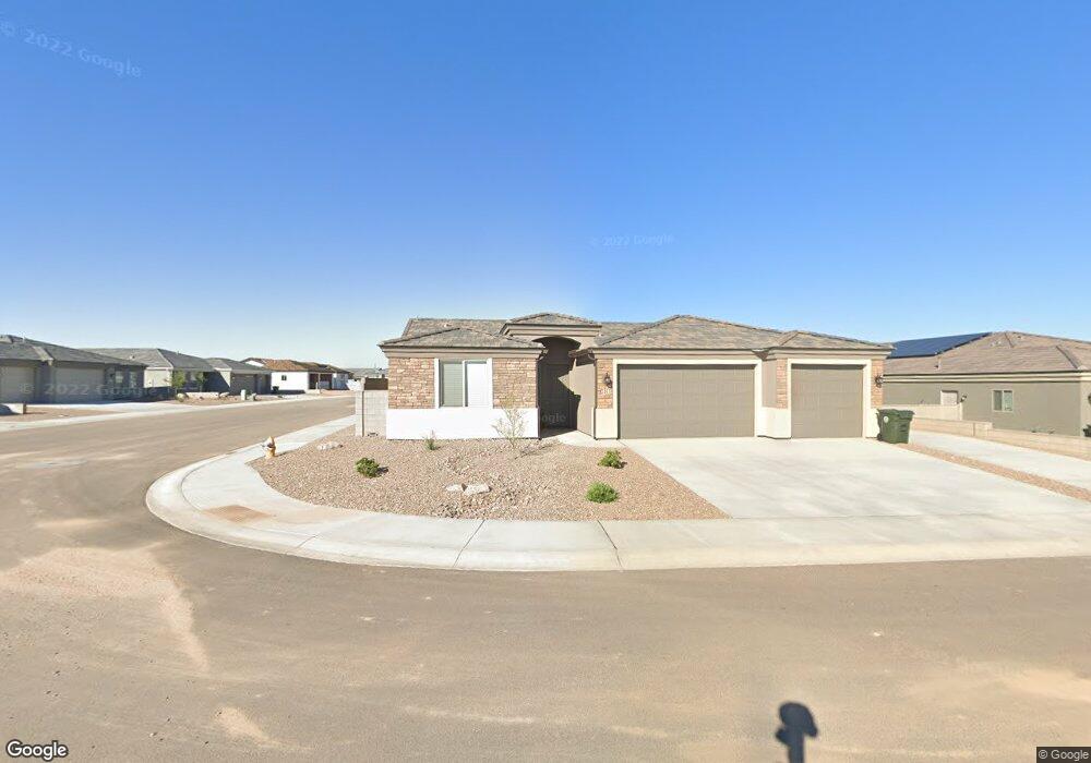
3367 Mcclintock St Kingman, AZ 86401
Estimated Value: $309,635 - $334,000
Studio
--
Bath
1,483
Sq Ft
$217/Sq Ft
Est. Value
About This Home
This home is located at 3367 Mcclintock St, Kingman, AZ 86401 and is currently estimated at $322,409, approximately $217 per square foot. 3367 Mcclintock St is a home with nearby schools including Hualapai Elementary School, White Cliffs Middle School, and Kingman High School.
Ownership History
Date
Name
Owned For
Owner Type
Purchase Details
Closed on
Nov 3, 2021
Sold by
Angle Homes Inc
Bought by
Voreis Jon W and Voreis Kimberly A
Current Estimated Value
Home Financials for this Owner
Home Financials are based on the most recent Mortgage that was taken out on this home.
Original Mortgage
$175,710
Outstanding Balance
$161,053
Interest Rate
3.01%
Mortgage Type
New Conventional
Estimated Equity
$161,356
Purchase Details
Closed on
Oct 5, 2021
Sold by
High Desert Land Development Llc
Bought by
Angle Homes Inc
Home Financials for this Owner
Home Financials are based on the most recent Mortgage that was taken out on this home.
Original Mortgage
$175,710
Outstanding Balance
$161,053
Interest Rate
3.01%
Mortgage Type
New Conventional
Estimated Equity
$161,356
Purchase Details
Closed on
Jul 5, 2019
Sold by
Pioneer Title Agency Inc
Bought by
High Desert Land Holdings Llc
Create a Home Valuation Report for This Property
The Home Valuation Report is an in-depth analysis detailing your home's value as well as a comparison with similar homes in the area
Home Values in the Area
Average Home Value in this Area
Purchase History
| Date | Buyer | Sale Price | Title Company |
|---|---|---|---|
| Voreis Jon W | $275,710 | Pioneer Title Agency Inc | |
| Angle Homes Inc | $558,900 | None Available | |
| High Desert Land Holdings Llc | $667,500 | Pioneer Title Agency Inc |
Source: Public Records
Mortgage History
| Date | Status | Borrower | Loan Amount |
|---|---|---|---|
| Open | Voreis Jon W | $175,710 |
Source: Public Records
Tax History
| Year | Tax Paid | Tax Assessment Tax Assessment Total Assessment is a certain percentage of the fair market value that is determined by local assessors to be the total taxable value of land and additions on the property. | Land | Improvement |
|---|---|---|---|---|
| 2026 | $477 | -- | -- | -- |
| 2025 | $983 | $26,329 | $0 | $0 |
| 2024 | $983 | $24,058 | $0 | $0 |
| 2023 | $983 | $22,935 | $0 | $0 |
| 2022 | $305 | $459 | $0 | $0 |
| 2021 | $17 | $459 | $0 | $0 |
| 2019 | $16 | $573 | $0 | $0 |
| 2018 | $16 | $573 | $0 | $0 |
| 2017 | $15 | $431 | $0 | $0 |
| 2016 | $14 | $418 | $0 | $0 |
| 2015 | $15 | $139 | $0 | $0 |
Source: Public Records
Map
Nearby Homes
- 3655 Wheatland Ave
- 3688 Wheatland Ave
- 3664 Wheatland Ave
- 3663 Wheatland Ave
- 3637 Wheatland Ave
- 3650 Wheatland Ave
- 3633 Wheatland Ave
- 3646 Wheatland Ave
- 3675 Arcadia Ave
- 3653 Arcadia Ave
- 3640 Arcadia Ave
- 3644 Arcadia Ave
- 3685 Plains Ave
- 3669 Arcadia Ave
- 3617 Carolina Ave
- 3693 Plains Ave
- 3371 Charleston St
- 3674 Heather Ave
- 3325 Charleston St
- 3619 Charleston Loop
Your Personal Tour Guide
Ask me questions while you tour the home.