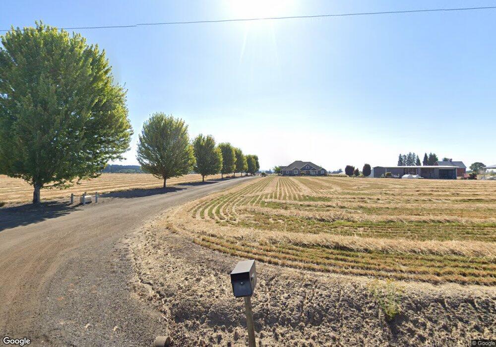
33687 NW Mountaindale Rd North Plains, OR 97133
Estimated Value: $948,000 - $1,601,621
4
Beds
4
Baths
3,295
Sq Ft
$387/Sq Ft
Est. Value
About This Home
This home is located at 33687 NW Mountaindale Rd, North Plains, OR 97133 and is currently estimated at $1,274,811, approximately $386 per square foot. 33687 NW Mountaindale Rd is a home located in Washington County with nearby schools including North Plains Elementary School, Evergreen Jr High School, and Glencoe High School.
Ownership History
Date
Name
Owned For
Owner Type
Purchase Details
Closed on
Apr 24, 2017
Sold by
Cropp Martin L
Bought by
Cropp Martin L and Cropp Kelley
Current Estimated Value
Purchase Details
Closed on
Apr 18, 2017
Sold by
Lone Oak Land & Investment Company Llc
Bought by
Cropp Martin L
Purchase Details
Closed on
Jun 16, 2008
Sold by
Cropp Martin L
Bought by
Lone Oak Land & Investment Co Llc
Create a Home Valuation Report for This Property
The Home Valuation Report is an in-depth analysis detailing your home's value as well as a comparison with similar homes in the area
Home Values in the Area
Average Home Value in this Area
Purchase History
| Date | Buyer | Sale Price | Title Company |
|---|---|---|---|
| Cropp Martin L | -- | None Available | |
| Cropp Martin L | -- | None Available | |
| Lone Oak Land & Investment Co Llc | -- | None Available |
Source: Public Records
Tax History Compared to Growth
Tax History
| Year | Tax Paid | Tax Assessment Tax Assessment Total Assessment is a certain percentage of the fair market value that is determined by local assessors to be the total taxable value of land and additions on the property. | Land | Improvement |
|---|---|---|---|---|
| 2025 | $6,274 | $497,320 | -- | -- |
| 2024 | $6,099 | $483,250 | -- | -- |
| 2023 | $6,099 | $469,020 | $0 | $0 |
| 2022 | $5,944 | $469,020 | $0 | $0 |
| 2021 | $5,842 | $442,610 | $0 | $0 |
| 2020 | $5,722 | $429,850 | $0 | $0 |
| 2019 | $5,511 | $417,460 | $0 | $0 |
| 2018 | $5,336 | $405,420 | $0 | $0 |
| 2017 | $5,155 | $393,730 | $0 | $0 |
| 2016 | $4,875 | $382,390 | $0 | $0 |
| 2015 | $4,666 | $371,390 | $0 | $0 |
| 2014 | $4,652 | $360,690 | $0 | $0 |
Source: Public Records
Map
Nearby Homes
- 11289 NW 325th Ave
- 11356 NW 321st Ave
- 11364 NW 321st Ave
- 16253 NW Old Pumpkin Ridge Rd
- 16241 NW Old Pumpkin Ridge Rd
- 11380 NW 321st Ave
- 11388 NW 321st Ave
- 31789 NW Blake Terrace
- 31741 NW Blake Terrace
- 31725 NW Blake Terrace
- 31724 NW Blake Terrace
- 31757 NW Blake Terrace
- 31811 NW Belgium Ct
- 31721 NW Turel Dr
- 31713 NW Turel Dr
- 31709 NW Turel Dr
- 31697 NW Turel Dr
- 31700 Turel Dr
- 31696 NW Turel Dr
- 31688 NW Turel Dr
- 12319 NW Dersham Rd
- 33810 NW Mountaindale Rd
- 34051 NW Mountaindale Rd
- 0 NW Dersham Rd
- 12387 NW Dersham Rd
- 34203 NW Mountaindale Rd
- 33150 NW Peaceful Ln
- 0 NW Mountaindale Rd
- 32790 NW Peaceful Ln
- 34392 NW Mountaindale Rd
- 35090 NW Mountaindale Rd
- 34405 NW Mountaindale Rd
- 32681 NW Peaceful Ln
- 32677 NW Peaceful Ln
- 32609 NW Mountaindale Rd
- 11035 NW Dersham Rd