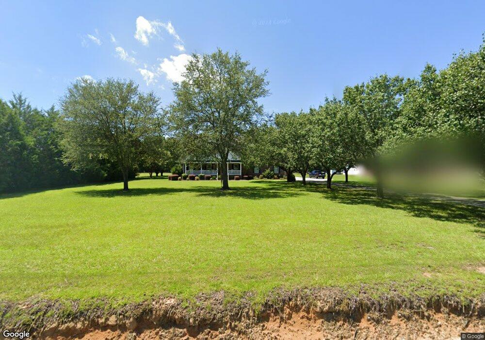
3369 Highway 19 Conway, SC 29526
Estimated Value: $497,000 - $590,000
3
Beds
2
Baths
2,583
Sq Ft
$217/Sq Ft
Est. Value
About This Home
This home is located at 3369 Highway 19, Conway, SC 29526 and is currently estimated at $561,334, approximately $217 per square foot. 3369 Highway 19 is a home located in Horry County with nearby schools including Kingston Elementary School, Conway Middle School, and Conway High School.
Ownership History
Date
Name
Owned For
Owner Type
Purchase Details
Closed on
Apr 23, 2002
Sold by
Charle Graham Janice A and Charle James
Bought by
Mcguirt Kevin and Hardee Wendye
Current Estimated Value
Home Financials for this Owner
Home Financials are based on the most recent Mortgage that was taken out on this home.
Original Mortgage
$80,000
Interest Rate
7.18%
Mortgage Type
Purchase Money Mortgage
Purchase Details
Closed on
Dec 28, 2000
Sold by
Graham James Charles and Graham Janice A
Bought by
Graham Janice A and Graham James Charles
Purchase Details
Closed on
Sep 15, 1998
Sold by
Graham Janice A
Bought by
Graham James Charles
Create a Home Valuation Report for This Property
The Home Valuation Report is an in-depth analysis detailing your home's value as well as a comparison with similar homes in the area
Home Values in the Area
Average Home Value in this Area
Purchase History
| Date | Buyer | Sale Price | Title Company |
|---|---|---|---|
| Mcguirt Kevin | $225,000 | -- | |
| Graham Janice A | -- | -- | |
| Graham James Charles | -- | -- |
Source: Public Records
Mortgage History
| Date | Status | Borrower | Loan Amount |
|---|---|---|---|
| Closed | Mcguirt Kevin | $80,000 |
Source: Public Records
Tax History Compared to Growth
Tax History
| Year | Tax Paid | Tax Assessment Tax Assessment Total Assessment is a certain percentage of the fair market value that is determined by local assessors to be the total taxable value of land and additions on the property. | Land | Improvement |
|---|---|---|---|---|
| 2024 | -- | $31,923 | $4,866 | $27,057 |
| 2023 | $0 | $11,321 | $1,156 | $10,165 |
| 2021 | $1,160 | $23,578 | $2,236 | $21,342 |
| 2020 | $0 | $23,578 | $2,236 | $21,342 |
| 2019 | $912 | $23,578 | $2,236 | $21,342 |
| 2018 | $0 | $14,767 | $1,513 | $13,254 |
| 2017 | $912 | $9,845 | $1,009 | $8,836 |
| 2016 | -- | $9,845 | $1,009 | $8,836 |
| 2015 | $912 | $9,845 | $1,009 | $8,836 |
| 2014 | $840 | $9,845 | $1,009 | $8,836 |
Source: Public Records
Map
Nearby Homes
- 3390 Highway 19
- TBD Old Reaves Ferry Rd Unit TBD Old Highway 90
- TBD Old Reaves Ferry Rd
- TBD Old Reaves Ferry Rd Unit 147.38 Acres
- 3700 Highway 19
- 2835 Pecan Ln
- Lot 4 Kellys Cove Dr
- 3695 S Carolina 905
- 183 Kellys Cove Dr
- 274 Morris Rd Unit 284 Morris Rd
- 319 Pickney Ct
- 270 Morris Rd
- TBD 22.66 Berley Mc Rd
- TBD Morris Rd
- 270/274/284 Morris Rd
- 2763 Highway 905
- 709 Bull Farm Ct
- 121 Oak Log Lake Rd
- TBD88 Old Reaves Ferry Rd
- 1274 Rodney Rd
- 3375 Highway 19
- 3379 Highway 19
- 3385 Highway 19
- TBD Nancy Rd
- 3389 Highway 19
- 3322 Nancy Ln
- 3324 Nancy Ln
- 3378 Highway 19
- 3415 Highway 19
- 3326 Nancy Ln
- 3372 Highway 19
- 3429 Highway 19
- 3432 Highway 19
- 3437 Highway 19
- 3441 Highway 19
- 3449 Highway 19
- 3438 Highway 19
- 3461 Highway 19
- 3176 Highway 19
- 3156 Highway 19