337 Aftons Cir Spring City, PA 19475
Estimated Value: $743,000 - $754,000
4
Beds
3
Baths
3,161
Sq Ft
$237/Sq Ft
Est. Value
About This Home
This home is located at 337 Aftons Cir, Spring City, PA 19475 and is currently estimated at $749,634, approximately $237 per square foot. 337 Aftons Cir is a home located in Chester County with nearby schools including East Vincent Elementary School, Owen J Roberts Middle School, and Owen J Roberts High School.
Ownership History
Date
Name
Owned For
Owner Type
Purchase Details
Closed on
Nov 23, 2001
Sold by
Gambone Bros Development Co
Bought by
Ranoia Robert J and Ranoia Jill M
Current Estimated Value
Home Financials for this Owner
Home Financials are based on the most recent Mortgage that was taken out on this home.
Original Mortgage
$210,000
Interest Rate
6.84%
Create a Home Valuation Report for This Property
The Home Valuation Report is an in-depth analysis detailing your home's value as well as a comparison with similar homes in the area
Home Values in the Area
Average Home Value in this Area
Purchase History
| Date | Buyer | Sale Price | Title Company |
|---|---|---|---|
| Ranoia Robert J | $269,990 | -- |
Source: Public Records
Mortgage History
| Date | Status | Borrower | Loan Amount |
|---|---|---|---|
| Previous Owner | Ranoia Robert J | $210,000 |
Source: Public Records
Tax History
| Year | Tax Paid | Tax Assessment Tax Assessment Total Assessment is a certain percentage of the fair market value that is determined by local assessors to be the total taxable value of land and additions on the property. | Land | Improvement |
|---|---|---|---|---|
| 2025 | $8,118 | $197,650 | $48,560 | $149,090 |
| 2024 | $8,118 | $197,650 | $48,560 | $149,090 |
| 2023 | $8,001 | $197,650 | $48,560 | $149,090 |
| 2022 | $7,871 | $197,650 | $48,560 | $149,090 |
| 2021 | $7,735 | $197,650 | $48,560 | $149,090 |
| 2020 | $7,535 | $197,650 | $48,560 | $149,090 |
| 2019 | $7,393 | $197,650 | $48,560 | $149,090 |
| 2018 | $7,308 | $197,650 | $48,560 | $149,090 |
| 2017 | $7,135 | $197,650 | $48,560 | $149,090 |
| 2016 | $7,864 | $197,650 | $48,560 | $149,090 |
| 2015 | $7,864 | $197,650 | $48,560 | $149,090 |
| 2014 | $7,864 | $197,650 | $48,560 | $149,090 |
Source: Public Records
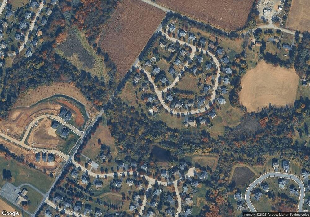
Map
Nearby Homes
- 284 Stony Run Rd
- 1202 W Bridge St
- 1013 W Bridge St
- 1112 W Bridge St
- 887 Aspen Ave
- 865 Cypress Ave
- 841 Cypress Ave
- 857 Buttonwood Ave
- 885 Buttonwood Ave
- 867 Aspen Ave
- 315 Quarry Rd
- 638 Bridge St
- 5 Madison Dr
- 131 Violet Way
- 132 Violet Way
- 509 Kolb Rd
- 410 New St
- 891 Brown Dr
- 256 Chestnut St
- 46 Quail Cir
- 339 Aftons Cir
- 408 Kirsten Ave
- 341 Aftons Cir
- 334 Aftons Cir
- 407 Kirsten Ave
- 343 Aftons Cir
- 330 Aftons Cir
- 331 Aftons Cir
- 506 Aftons Cir
- 342 Aftons Cir
- 405 Kirsten Ave
- 344 Aftons Cir
- 328 Aftons Cir
- 329 Aftons Cir
- 403 Kirsten Ave
- 322 Aftons Cir
- 402 Kirsten Ave
- 304 Aftons Cir
- 327 Aftons Cir
- 509 Tiffany Ln
Your Personal Tour Guide
Ask me questions while you tour the home.