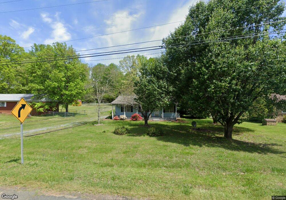
337 Anderson Rd Albemarle, NC 28001
Estimated Value: $151,000 - $219,000
2
Beds
2
Baths
967
Sq Ft
$195/Sq Ft
Est. Value
About This Home
This home is located at 337 Anderson Rd, Albemarle, NC 28001 and is currently estimated at $188,654, approximately $195 per square foot. 337 Anderson Rd is a home located in Stanly County with nearby schools including East Albemarle Elementary School, Albemarle Middle School, and Albemarle High School.
Ownership History
Date
Name
Owned For
Owner Type
Purchase Details
Closed on
Aug 10, 2022
Sold by
Earnhardt David K and Earnhardt Jennifer L
Bought by
Charter Investments Llc
Current Estimated Value
Purchase Details
Closed on
Jun 1, 2021
Sold by
West Eston G and West Jackie S
Bought by
Ernhardt David
Purchase Details
Closed on
Feb 19, 2021
Sold by
West Eston G and West Jackie S
Bought by
West Eston G and West Jackie S
Purchase Details
Closed on
Sep 23, 2010
Sold by
Hinson Michael A and Hinson Chanda
Bought by
West Eston G and West Jackie S
Create a Home Valuation Report for This Property
The Home Valuation Report is an in-depth analysis detailing your home's value as well as a comparison with similar homes in the area
Home Values in the Area
Average Home Value in this Area
Purchase History
| Date | Buyer | Sale Price | Title Company |
|---|---|---|---|
| Charter Investments Llc | -- | None Listed On Document | |
| Charter Investments Llc | -- | None Listed On Document | |
| Ernhardt David | $100,000 | None Available | |
| West Eston G | -- | None Available | |
| West Eston G | $77,000 | None Available |
Source: Public Records
Tax History Compared to Growth
Tax History
| Year | Tax Paid | Tax Assessment Tax Assessment Total Assessment is a certain percentage of the fair market value that is determined by local assessors to be the total taxable value of land and additions on the property. | Land | Improvement |
|---|---|---|---|---|
| 2025 | $1,436 | $128,238 | $34,200 | $94,038 |
| 2024 | $1,085 | $88,920 | $17,442 | $71,478 |
| 2023 | $1,085 | $88,920 | $17,442 | $71,478 |
| 2022 | $1,085 | $88,920 | $17,442 | $71,478 |
| 2021 | $1,085 | $88,920 | $17,442 | $71,478 |
| 2020 | $991 | $76,381 | $15,390 | $60,991 |
| 2019 | $1,001 | $76,381 | $15,390 | $60,991 |
| 2018 | $1,001 | $76,381 | $15,390 | $60,991 |
| 2017 | $962 | $76,381 | $15,390 | $60,991 |
| 2016 | $898 | $71,264 | $13,680 | $57,584 |
| 2015 | $907 | $71,264 | $13,680 | $57,584 |
| 2014 | $839 | $71,264 | $13,680 | $57,584 |
Source: Public Records
Map
Nearby Homes
- 712 Coventry Dr
- 2106 Woodhurst Ln
- 120 Pembroke Way Unit 15p
- 2146 Marwood Ln
- 2012 E Main St
- 2148 Marwood Ln
- 1025 Freeman View Dr
- 2305 Bulwarks Ct
- 2305 Bulwarks Ct Unit 6
- 107 Pembroke Way Unit 95p
- 2313 Bulwarks Ct
- 2313 Bulwarks Ct Unit 2
- Calloway Plan at Morrow Brook
- Winslow Plan at Morrow Brook
- TA3000 Plan at Morrow Brook
- Hudson Plan at Morrow Brook
- Declan Plan at Morrow Brook
- Devin Plan at Morrow Brook
- Huntley Plan at Morrow Brook
- Kipling Plan at Morrow Brook
- 341 Anderson Rd
- 341 Anderson Rd Unit 14
- 333 Anderson Rd
- 329 Anderson Rd
- 345 Anderson Rd
- 2024 Sprucewood St
- 2020 Sprucewood St
- 342 Anderson None
- VAC Sprucewood St
- 325 Anderson Rd
- 325 Anderson Rd
- 342 Anderson Rd
- 342 Anderson Rd Unit 1
- 2028 Sprucewood St
- 2018 Sprucewood St
- 332 Anderson Rd Unit 6
- 338 Anderson Rd Unit 3
- 336 Anderson Rd Unit 4
- 328 Anderson Rd
- 349 Anderson Rd