337 Chantrell Ct McCall, ID 83638
Estimated Value: $3,566,163 - $3,572,000
3
Beds
4
Baths
3,866
Sq Ft
$923/Sq Ft
Est. Value
About This Home
This home is located at 337 Chantrell Ct, McCall, ID 83638 and is currently estimated at $3,569,082, approximately $923 per square foot. 337 Chantrell Ct is a home located in Valley County with nearby schools including McCall-Donnelly High School, McCall Adventist Christian School, and The North Fork School.
Ownership History
Date
Name
Owned For
Owner Type
Purchase Details
Closed on
Oct 19, 2010
Sold by
Barker Bradley W
Bought by
Wright Scott A and Wright Tammy D
Current Estimated Value
Purchase Details
Closed on
Dec 27, 2007
Sold by
Barker Bradley W and Barker Laurel A
Bought by
Barker Bradley W
Purchase Details
Closed on
Sep 12, 2005
Sold by
Whitetail A Club For All Seasons Llc
Bought by
Barker Bradley W and Barker Laurel A
Home Financials for this Owner
Home Financials are based on the most recent Mortgage that was taken out on this home.
Original Mortgage
$376,200
Interest Rate
5.7%
Mortgage Type
Purchase Money Mortgage
Create a Home Valuation Report for This Property
The Home Valuation Report is an in-depth analysis detailing your home's value as well as a comparison with similar homes in the area
Home Values in the Area
Average Home Value in this Area
Purchase History
| Date | Buyer | Sale Price | Title Company |
|---|---|---|---|
| Wright Scott A | -- | -- | |
| Barker Bradley W | -- | -- | |
| Barker Bradley W | -- | -- |
Source: Public Records
Mortgage History
| Date | Status | Borrower | Loan Amount |
|---|---|---|---|
| Previous Owner | Barker Bradley W | $376,200 |
Source: Public Records
Tax History
| Year | Tax Paid | Tax Assessment Tax Assessment Total Assessment is a certain percentage of the fair market value that is determined by local assessors to be the total taxable value of land and additions on the property. | Land | Improvement |
|---|---|---|---|---|
| 2025 | $16,942 | $3,784,235 | $450,205 | $3,334,030 |
| 2023 | $16,942 | $3,574,226 | $406,705 | $3,167,521 |
| 2022 | $16,633 | $3,298,564 | $477,740 | $2,820,824 |
| 2021 | $16,434 | $2,184,925 | $335,152 | $1,849,773 |
| 2020 | $13,715 | $1,603,146 | $313,456 | $1,289,690 |
| 2019 | $15,072 | $1,613,033 | $298,529 | $1,314,504 |
| 2018 | $15,821 | $1,558,042 | $443,952 | $1,114,090 |
| 2017 | $15,181 | $1,365,231 | $299,744 | $1,065,487 |
| 2016 | $13,402 | $1,175,045 | $201,213 | $973,832 |
| 2015 | $7,281 | $1,217,770 | $0 | $0 |
| 2013 | -- | $844,693 | $0 | $0 |
Source: Public Records
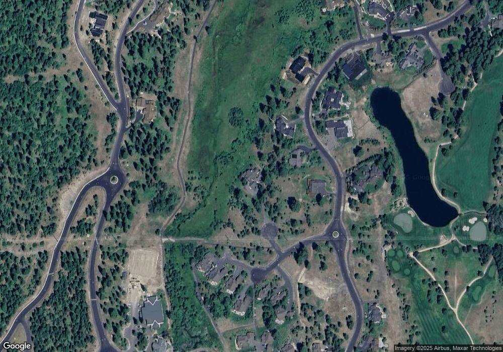
Map
Nearby Homes
- 4605 Williams Creek Loop
- 325 Whitetail Dr
- 459 Osprey View Dr Unit 90
- 532 Osprey View Dr Unit 48
- 4333 Song Sparrow Ct Unit 28
- 544 Osprey View Dr Unit 43
- 4625 Williams Creek Loop Unit 96
- 4305 Song Sparrow Ct
- 663 Lichen Ln Unit 68
- 659 Aster Ct
- 667 Aster Ct Unit 63
- 656 Aster Ct Unit 67
- 609 Migratory Ridge Way Unit 46
- 669 Migratory Ridge Way Unit 70
- 671 Aster Ct Unit 64
- 660 Aster Ct
- 661 Migratory Ridge Unit 72
- 1413 Stone Ln
- 605 Migratory Ridge Way Unit 45
- 7 Whitefield Ln Unit 7
- 346 Whitetail Dr
- 346 Whitetail Dr Unit 62
- 342 Whitetail Dr
- 338 Whitetail Dr Unit 64
- 338 Whitetail Dr
- 350 Whitetail Dr
- 350 Whitetail Dr Unit 61
- 334 Whitetail Dr
- 334 Whitetail Dr Unit 65
- Lot 77 Shaggy Mane Ct Unit 77
- 3319 Shaggy Mane Ct
- 3300 Shaggy Mane Ct Unit 71
- 345 Whitetail Dr Unit 45
- 3317 Shaggy Mane Ct
- 3315 Shaggy Mane Ct
- 349 Whitetail Dr
- 341 Whitetail Dr
- 341 Whitetail Dr Unit 44
- 354 Whitetail Dr
- 354 Whitetail Dr Unit 60
Your Personal Tour Guide
Ask me questions while you tour the home.