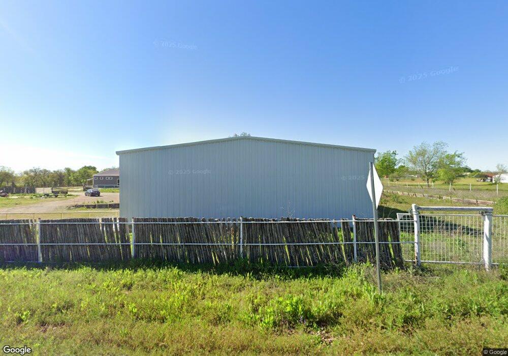
337 Cochran Rd Weatherford, TX 76085
Estimated Value: $634,000 - $841,000
--
Bed
--
Bath
1,008
Sq Ft
$734/Sq Ft
Est. Value
About This Home
This home is located at 337 Cochran Rd, Weatherford, TX 76085 and is currently estimated at $739,842, approximately $733 per square foot. 337 Cochran Rd is a home located in Parker County with nearby schools including Seguin Elementary School, Tison Middle School, and Weatherford High School.
Ownership History
Date
Name
Owned For
Owner Type
Purchase Details
Closed on
Aug 4, 2017
Sold by
Williamson Mary Ann and The Mary Ann Williamson 1988 T
Bought by
Schulman Partners Llc
Current Estimated Value
Home Financials for this Owner
Home Financials are based on the most recent Mortgage that was taken out on this home.
Original Mortgage
$290,608
Outstanding Balance
$241,965
Interest Rate
3.88%
Mortgage Type
Purchase Money Mortgage
Estimated Equity
$497,877
Purchase Details
Closed on
Nov 5, 2004
Sold by
Finley Curtis L
Bought by
Williamson Mary A
Purchase Details
Closed on
Mar 16, 2004
Sold by
Dennis Toby L
Bought by
Williamson Mary A
Purchase Details
Closed on
Jul 27, 2001
Sold by
Cook Martin E
Bought by
Williamson Mary A
Create a Home Valuation Report for This Property
The Home Valuation Report is an in-depth analysis detailing your home's value as well as a comparison with similar homes in the area
Home Values in the Area
Average Home Value in this Area
Purchase History
| Date | Buyer | Sale Price | Title Company |
|---|---|---|---|
| Schulman Partners Llc | -- | Rattikin Title Company | |
| Williamson Mary A | -- | -- | |
| Williamson Mary A | -- | -- | |
| Williamson Mary A | -- | -- |
Source: Public Records
Mortgage History
| Date | Status | Borrower | Loan Amount |
|---|---|---|---|
| Open | Schulman Partners Llc | $290,608 |
Source: Public Records
Tax History Compared to Growth
Tax History
| Year | Tax Paid | Tax Assessment Tax Assessment Total Assessment is a certain percentage of the fair market value that is determined by local assessors to be the total taxable value of land and additions on the property. | Land | Improvement |
|---|---|---|---|---|
| 2025 | $12,202 | $862,950 | $130,820 | $732,130 |
| 2024 | $12,202 | $749,050 | $146,780 | $602,270 |
| 2023 | $12,202 | $397,450 | $146,780 | $250,670 |
| 2022 | $5,890 | $316,340 | $83,730 | $232,610 |
| 2021 | $6,386 | $316,340 | $83,730 | $232,610 |
| 2020 | $5,783 | $285,120 | $65,620 | $219,500 |
| 2019 | $6,169 | $285,120 | $65,620 | $219,500 |
| 2018 | $5,224 | $240,150 | $36,850 | $203,300 |
| 2017 | $3,808 | $171,560 | $36,850 | $134,710 |
| 2016 | $3,348 | $150,820 | $36,850 | $113,970 |
| 2015 | $3,303 | $150,820 | $36,850 | $113,970 |
| 2014 | $3,088 | $152,520 | $36,850 | $115,670 |
Source: Public Records
Map
Nearby Homes
- 161 Cochran Rd
- 150 Ellis Spring Dr
- 1301 Zion Hill Loop
- 109 Odel Dr
- 3004 Parker Meadows Ct
- 125 Odel Dr
- 209 Ellis Creek Dr
- 2124 Pepperdine Dr
- 1835 N Main St
- 2000 Vanderbilt Dr
- 1829 N Main St
- Lot 11 Pepperdine Dr
- Lot 12 Pepperdine Dr
- Lot 10 Pepperdine Dr
- 2117 Pepperdine Dr
- Lot 118 Stonebridge Dr
- Lot 117 Stonebridge Dr
- 2016 Vanderbilt Dr
- 2020 Vanderbilt Dr
- 105 Oxford Ct