337 Crystal Ln Carbondale, CO 81623
Estimated Value: $1,355,000 - $1,629,488
3
Beds
3
Baths
2,953
Sq Ft
$502/Sq Ft
Est. Value
About This Home
This home is located at 337 Crystal Ln, Carbondale, CO 81623 and is currently estimated at $1,482,872, approximately $502 per square foot. 337 Crystal Ln is a home located in Pitkin County.
Ownership History
Date
Name
Owned For
Owner Type
Purchase Details
Closed on
Apr 5, 2021
Sold by
Bervaldi Michael
Bought by
Bervaldi Charity and Merill Charity
Current Estimated Value
Purchase Details
Closed on
Apr 26, 2018
Sold by
Merrill Charity and Bervaldi Charity
Bought by
Bervaldi Charity and Bervaldi Michel
Purchase Details
Closed on
Sep 27, 2013
Sold by
Mclaughlin Charity
Bought by
Merrill Charity
Home Financials for this Owner
Home Financials are based on the most recent Mortgage that was taken out on this home.
Original Mortgage
$300,000
Interest Rate
4.62%
Mortgage Type
New Conventional
Purchase Details
Closed on
May 6, 2005
Sold by
Mclaughlin Christopher L
Bought by
Mclaughlin Charity
Create a Home Valuation Report for This Property
The Home Valuation Report is an in-depth analysis detailing your home's value as well as a comparison with similar homes in the area
Home Values in the Area
Average Home Value in this Area
Purchase History
| Date | Buyer | Sale Price | Title Company |
|---|---|---|---|
| Bervaldi Charity | -- | None Available | |
| Bervaldi Charity | -- | None Available | |
| Merrill Charity | -- | Land Title Guarantee Company | |
| Mclaughlin Charity | -- | None Available |
Source: Public Records
Mortgage History
| Date | Status | Borrower | Loan Amount |
|---|---|---|---|
| Closed | Merrill Charity | $300,000 |
Source: Public Records
Tax History Compared to Growth
Tax History
| Year | Tax Paid | Tax Assessment Tax Assessment Total Assessment is a certain percentage of the fair market value that is determined by local assessors to be the total taxable value of land and additions on the property. | Land | Improvement |
|---|---|---|---|---|
| 2024 | $4,216 | $60,160 | $16,730 | $43,430 |
| 2023 | $4,216 | $63,450 | $17,640 | $45,810 |
| 2022 | $3,701 | $48,310 | $14,940 | $33,370 |
| 2021 | $3,735 | $49,700 | $15,370 | $34,330 |
| 2020 | $3,313 | $46,300 | $15,370 | $30,930 |
| 2019 | $3,313 | $46,300 | $15,370 | $30,930 |
| 2018 | $3,143 | $46,630 | $15,480 | $31,150 |
| 2017 | $2,883 | $43,470 | $15,480 | $27,990 |
| 2016 | $2,795 | $41,250 | $17,910 | $23,340 |
| 2015 | $2,833 | $41,250 | $17,910 | $23,340 |
| 2014 | $2,266 | $35,590 | $15,920 | $19,670 |
Source: Public Records
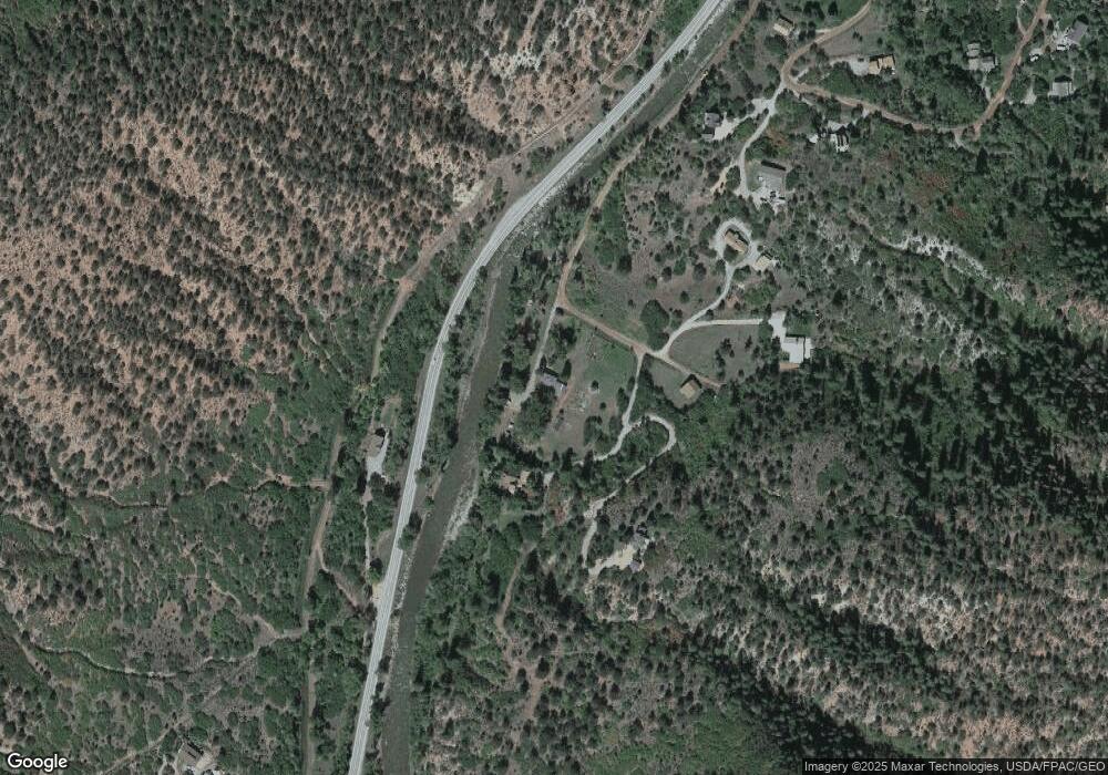
Map
Nearby Homes
- 11283 Highway 133
- 116 S Bill Creek Rd
- 315 Forest Service Rd
- 135 Irwin Dr
- 900 Dorais Way
- 1625 Prince Creek Rd
- 1634 Prince Creek Rd
- 1644 Prince Creek Rd
- 860 Perry Ridge
- 769 Perry Ridge
- 719 Perry Ridge
- 782 Perry Ridge
- 250 E Creek Rd
- 221 Crystal Canyon Dr
- 10 Patterson Dr
- 101 Bowles Dr
- TBD Coal Creek Rd
- 107 Bowles Dr
- 112 Bowles Dr
- 2240 Old Herron Rd
- 337 Crystal Ln
- Tbd Crystal Country Ln
- 357 Crystal Ln
- 357 Crystal Ln
- 9969 Highway 133
- TBD Crystal Ln
- 358 Crystal Ln
- 254 Crystal Ln
- 377 Crystal Ln
- 377 Crystal Ln
- 269 Crystal Cir
- 269 Crystal Country Cir
- 269 Crystal Cir
- 208 Crystal Cir
- 285 Crystal Cir
- 247 Crystal Cir
- 310 Crystal Cir
- 108 Crystal Cir
- 10101 Highway 133
- 394 Crystal Cir