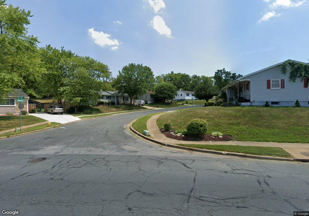
337 Dameron S Laurel, MD 20724
Maryland City NeighborhoodEstimated Value: $294,000 - $402,000
Studio
2
Baths
1,008
Sq Ft
$358/Sq Ft
Est. Value
About This Home
This home is located at 337 Dameron S, Laurel, MD 20724 and is currently estimated at $361,169, approximately $358 per square foot. 337 Dameron S is a home located in Anne Arundel County with nearby schools including Maryland City Elementary School, Meade Middle School, and Meade High School.
Ownership History
Date
Name
Owned For
Owner Type
Purchase Details
Closed on
Aug 24, 2001
Sold by
Secretary Of Veterans Affairs
Bought by
Properties,Llc S and Properties,Llc P
Current Estimated Value
Purchase Details
Closed on
Nov 3, 2000
Sold by
Sullivan Edward J
Bought by
Secretary Of Veterans Affairs
Purchase Details
Closed on
May 13, 1993
Sold by
Augustine John D
Bought by
Sullivan Edward J
Home Financials for this Owner
Home Financials are based on the most recent Mortgage that was taken out on this home.
Original Mortgage
$127,050
Interest Rate
7.42%
Create a Home Valuation Report for This Property
The Home Valuation Report is an in-depth analysis detailing your home's value as well as a comparison with similar homes in the area
Home Values in the Area
Average Home Value in this Area
Purchase History
| Date | Buyer | Sale Price | Title Company |
|---|---|---|---|
| Properties,Llc S | $111,063 | -- | |
| Secretary Of Veterans Affairs | $111,043 | -- | |
| Sullivan Edward J | $125,500 | -- |
Source: Public Records
Mortgage History
| Date | Status | Borrower | Loan Amount |
|---|---|---|---|
| Previous Owner | Sullivan Edward J | $127,050 |
Source: Public Records
Tax History
| Year | Tax Paid | Tax Assessment Tax Assessment Total Assessment is a certain percentage of the fair market value that is determined by local assessors to be the total taxable value of land and additions on the property. | Land | Improvement |
|---|---|---|---|---|
| 2025 | $3,969 | $336,200 | $203,700 | $132,500 |
| 2024 | $3,969 | $316,567 | $0 | $0 |
| 2023 | $3,716 | $296,933 | $0 | $0 |
| 2022 | $3,328 | $277,300 | $155,700 | $121,600 |
| 2020 | $3,153 | $264,367 | $0 | $0 |
| 2019 | $3,087 | $257,900 | $150,700 | $107,200 |
| 2018 | $2,533 | $249,767 | $0 | $0 |
| 2017 | $2,845 | $241,633 | $0 | $0 |
| 2016 | -- | $233,500 | $0 | $0 |
| 2015 | -- | $227,733 | $0 | $0 |
| 2014 | -- | $221,967 | $0 | $0 |
Source: Public Records
Map
Nearby Homes
- 341 Dameron S
- 342 Dameron S
- 328 Vale Summit S
- 3338 Old Line Ave
- 3500 Old Annapolis Rd
- 322 Old Line Ave
- 264 Old Line Ave
- 3397 Fountain Green S
- 3321 Yellow Flower Rd
- 11 S Carol St
- 278 Brock Bridge Rd
- 3551 Forest Haven Dr
- 1238 Crested Wood Dr
- 1236 Crested Wood Dr
- 237 Brock Bridge Rd
- 1234 Crested Wood Dr
- 1232 Crested Wood Dr
- 235 Brock Bridge Rd
- 1352 Crested Wood Dr
- 1358 Crested Wood Dr
- 339 Dameron S
- 335 Dameron S
- 333 Dameron S
- 336 Dameron S
- 338 Dameron S
- 402 Barbersville Rd
- 404 Barbersville Rd
- 343 Dameron S
- 424 Old Line Ave
- 340 Dameron S
- 400 Barbersville Rd
- 418 Old Line Ave
- 406 Barbersville Rd
- 426 Old Line Ave
- 345 Dameron S
- 344 Dameron S
- 337 Cokeland S
- 335 Cokeland S
- 427 Old Line Ave
- 429 Old Line Ave
Your Personal Tour Guide
Ask me questions while you tour the home.