337 Davidson Plantation Rd Hinesville, GA 31313
Estimated Value: $220,000 - $266,000
3
Beds
2
Baths
1,320
Sq Ft
$185/Sq Ft
Est. Value
About This Home
This home is located at 337 Davidson Plantation Rd, Hinesville, GA 31313 and is currently estimated at $244,397, approximately $185 per square foot. 337 Davidson Plantation Rd is a home located in Liberty County with nearby schools including Waldo Pafford Elementary School, Lewis Frasier Middle School, and Bradwell Institute.
Ownership History
Date
Name
Owned For
Owner Type
Purchase Details
Closed on
Jan 18, 2000
Sold by
Kemp Richard M and Kemp Mar
Bought by
Kim Young and Kim Hyon M
Current Estimated Value
Purchase Details
Closed on
Oct 3, 1997
Sold by
Whitworth Heather
Bought by
Kemp Richard M and Kemp Mar
Purchase Details
Closed on
Jun 30, 1993
Bought by
Whitworth Heather
Purchase Details
Closed on
Dec 13, 1991
Sold by
Hinson Jimmy
Bought by
Hinson William J and Hinson Pamela
Create a Home Valuation Report for This Property
The Home Valuation Report is an in-depth analysis detailing your home's value as well as a comparison with similar homes in the area
Home Values in the Area
Average Home Value in this Area
Purchase History
| Date | Buyer | Sale Price | Title Company |
|---|---|---|---|
| Kim Young | $78,000 | -- | |
| Kemp Richard M | $85,000 | -- | |
| Whitworth Heather | $63,000 | -- | |
| Hinson William J | -- | -- |
Source: Public Records
Tax History Compared to Growth
Tax History
| Year | Tax Paid | Tax Assessment Tax Assessment Total Assessment is a certain percentage of the fair market value that is determined by local assessors to be the total taxable value of land and additions on the property. | Land | Improvement |
|---|---|---|---|---|
| 2024 | $2,999 | $71,529 | $4,134 | $67,395 |
| 2023 | $2,999 | $63,716 | $4,134 | $59,582 |
| 2022 | $2,141 | $54,319 | $3,308 | $51,011 |
| 2021 | $2,012 | $51,159 | $3,308 | $47,851 |
| 2020 | $2,054 | $52,115 | $3,308 | $48,807 |
| 2019 | $2,018 | $52,532 | $3,308 | $49,224 |
| 2018 | $2,029 | $53,487 | $3,308 | $50,179 |
| 2017 | $1,793 | $54,442 | $3,308 | $51,134 |
| 2016 | $1,986 | $56,232 | $3,308 | $52,924 |
| 2015 | $1,731 | $55,481 | $2,557 | $52,924 |
| 2014 | $1,731 | $48,303 | $2,571 | $45,732 |
| 2013 | -- | $56,849 | $3,676 | $53,172 |
Source: Public Records
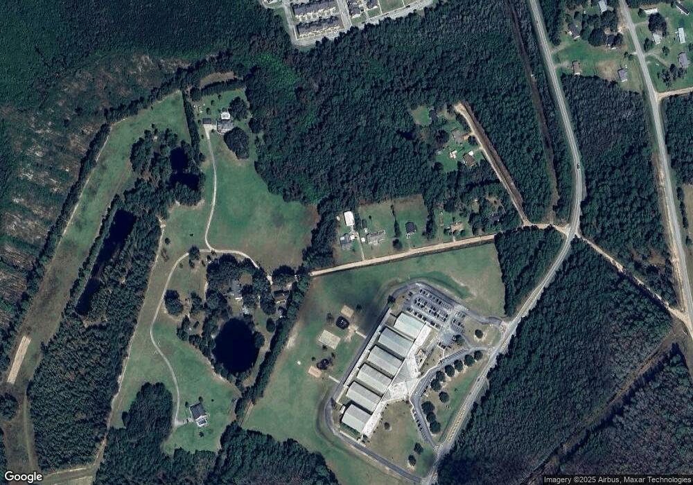
Map
Nearby Homes
- 269 Brightleaf Cir
- 225 Rendell Ln
- 307 Lumpkin Ln
- 2563 Zachary Ct
- 2716 Java Ct
- 0 Airport Rd Unit 325633
- 0 Curtis Rd Unit 163007
- 0 Curtis Rd Unit SA339536
- 302 Largo Ct
- 644 Piedmont Ave
- 110 Brightleaf Cir
- 34 Daylily Ct
- 206 Brightleaf Cir
- 185 Brightleaf Cir
- 78 Daylily Ct
- 219 Augusta Way
- 266 Brightleaf Cir
- 1.17 ACRES Elam Rd
- 572 Brightleaf Cir
- 470 Brightleaf Cir
- 279 Davidson Plantation Rd
- 418 Davidson Plantation Rd
- 408 Davidson Plantation Rd
- 237 Davidson Plantation Rd
- 76 Lauran Dr
- 100 Lauran Dr Unit 7
- 100 Lauran Dr
- 203 Davidson Plantation Rd
- 124 Lauran Dr
- 477 Davidson Plantation Rd
- 171 Brightleaf Cir
- 134 Brightleaf Cir
- 85 Brightleaf Cir
- 386 Brightleaf Cir
- 369 Brightleaf Cir
- 712 Tattnall Dr
- 710 Tattnall Dr
- 708 Tattnall Dr
- 706 Tattnall Dr
- 512 Davidson Plantation Rd