337 Day Rd Bowdon, GA 30108
Estimated Value: $336,518 - $394,000
3
Beds
2
Baths
1,920
Sq Ft
$186/Sq Ft
Est. Value
About This Home
This home is located at 337 Day Rd, Bowdon, GA 30108 and is currently estimated at $357,880, approximately $186 per square foot. 337 Day Rd is a home located in Carroll County with nearby schools including Bowdon Elementary School, Bowdon Middle School, and Bowdon High School.
Ownership History
Date
Name
Owned For
Owner Type
Purchase Details
Closed on
Sep 29, 2021
Sold by
Ethridge Wendell
Bought by
Ethridge Debbie South
Current Estimated Value
Purchase Details
Closed on
Mar 4, 2005
Sold by
Ethridge Wendell
Bought by
Ethridge Jeremey
Purchase Details
Closed on
Feb 8, 2005
Sold by
Curtis South
Bought by
Etheridge Wendell and Ethridge Debbie
Create a Home Valuation Report for This Property
The Home Valuation Report is an in-depth analysis detailing your home's value as well as a comparison with similar homes in the area
Purchase History
| Date | Buyer | Sale Price | Title Company |
|---|---|---|---|
| Ethridge Debbie South | -- | -- | |
| Ethridge Jeremey | -- | -- | |
| Etheridge Wendell | -- | -- |
Source: Public Records
Tax History
| Year | Tax Paid | Tax Assessment Tax Assessment Total Assessment is a certain percentage of the fair market value that is determined by local assessors to be the total taxable value of land and additions on the property. | Land | Improvement |
|---|---|---|---|---|
| 2025 | $2,018 | $113,988 | $8,237 | $105,751 |
| 2024 | $2,041 | $113,988 | $8,237 | $105,751 |
| 2023 | $2,057 | $104,333 | $6,590 | $97,743 |
| 2022 | $1,682 | $82,889 | $4,393 | $78,496 |
| 2021 | $1,526 | $71,900 | $3,514 | $68,386 |
| 2020 | $1,387 | $64,133 | $3,195 | $60,938 |
| 2019 | $1,318 | $59,829 | $3,195 | $56,634 |
| 2018 | $1,243 | $54,846 | $2,986 | $51,860 |
| 2017 | $1,239 | $54,408 | $2,548 | $51,860 |
Source: Public Records
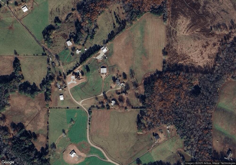
Map
Nearby Homes
- 0 Old Columbus Rd Unit 24031335
- 0 Old Columbus Rd Unit 10554750
- 3071 Georgia 5
- 3083 Georgia 5
- 3129 Georgia 5
- 433 Old Roanoke Rd
- TRACT 2 Attaway Road Tract 4 59 Acres Unit 185
- 0 Attaway Road-9 22
- 3262 Veal Rd
- 3356 Veal Rd
- 630 Stoney Point Rd
- Tract 1 Attaway Road Tract 4 15 Acres Unit 185
- 4018 Veal St
- 4228 Tyus Carrollton Rd
- 31 Duck Pond Rd
- 12 Stewart Rd
- 621 Rance Foster Rd
- 4144 Tyus Carrollton Rd
- 6 Winding Rd
- 5 Winding Rd
- 351 Day Rd
- 284 Day Rd
- 361 Day Rd
- 370 Day Rd
- 205 Day Rd
- 170 Day Rd
- 123 Day Rd
- 845 Tyus Veal Rd
- 100 Day Rd
- 853 Tyus Veal Rd
- 885 Tyus Veal Rd
- 885 Tyus Veal Rd Unit B
- 885 Tyus Veal Rd Unit A
- 885 Tyus-Veal Rd
- 490 Day Rd
- 915 Tyus Veal Rd
- 931 Tyus Veal Rd
- 789 Tyus Veal Rd
- 820 Tyus-Veal Rd
- 2300 Old Columbus Rd
Your Personal Tour Guide
Ask me questions while you tour the home.