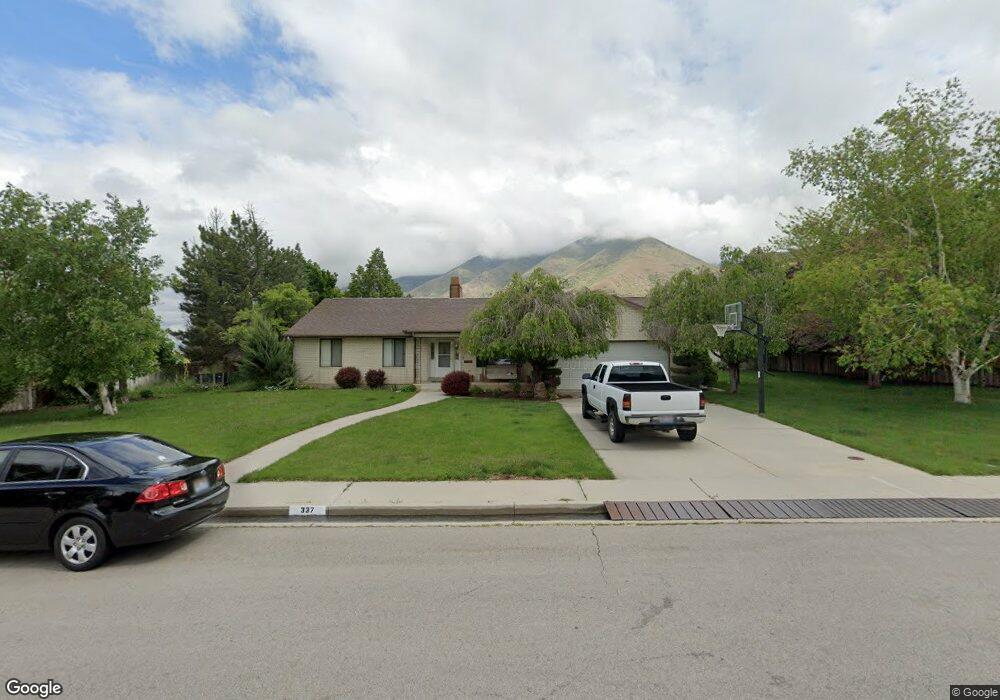
337 E 1700 N Mapleton, UT 84664
Estimated Value: $805,000 - $940,000
4
Beds
4
Baths
3,720
Sq Ft
$232/Sq Ft
Est. Value
About This Home
This home is located at 337 E 1700 N, Mapleton, UT 84664 and is currently estimated at $861,927, approximately $231 per square foot. 337 E 1700 N is a home located in Utah County with nearby schools including Hobble Creek School, Mapleton Junior High School, and Maple Mountain High School.
Ownership History
Date
Name
Owned For
Owner Type
Purchase Details
Closed on
May 5, 2009
Sold by
Ribble Jarrod
Bought by
Ribble Jarrod and Ribble Jessica Rae
Current Estimated Value
Home Financials for this Owner
Home Financials are based on the most recent Mortgage that was taken out on this home.
Original Mortgage
$281,200
Outstanding Balance
$177,190
Interest Rate
4.8%
Mortgage Type
New Conventional
Estimated Equity
$684,737
Purchase Details
Closed on
May 1, 2009
Sold by
Vansorensen Steven and Price Vanna Louise S
Bought by
Ribble Jarrod
Home Financials for this Owner
Home Financials are based on the most recent Mortgage that was taken out on this home.
Original Mortgage
$281,200
Outstanding Balance
$177,190
Interest Rate
4.8%
Mortgage Type
New Conventional
Estimated Equity
$684,737
Create a Home Valuation Report for This Property
The Home Valuation Report is an in-depth analysis detailing your home's value as well as a comparison with similar homes in the area
Home Values in the Area
Average Home Value in this Area
Purchase History
| Date | Buyer | Sale Price | Title Company |
|---|---|---|---|
| Ribble Jarrod | -- | Utah Standard Title | |
| Ribble Jarrod | -- | Affiliated First Title Comp |
Source: Public Records
Mortgage History
| Date | Status | Borrower | Loan Amount |
|---|---|---|---|
| Open | Ribble Jarrod | $281,200 |
Source: Public Records
Tax History
| Year | Tax Paid | Tax Assessment Tax Assessment Total Assessment is a certain percentage of the fair market value that is determined by local assessors to be the total taxable value of land and additions on the property. | Land | Improvement |
|---|---|---|---|---|
| 2025 | $3,958 | $421,995 | -- | -- |
| 2024 | $4,096 | $387,775 | $0 | $0 |
| 2023 | $4,096 | $403,780 | $0 | $0 |
| 2022 | $4,471 | $775,700 | $378,200 | $397,500 |
| 2021 | $3,735 | $545,700 | $239,900 | $305,800 |
| 2020 | $3,657 | $517,900 | $212,100 | $305,800 |
| 2019 | $3,406 | $491,700 | $204,100 | $287,600 |
| 2018 | $3,160 | $435,200 | $171,400 | $263,800 |
| 2017 | $3,021 | $225,540 | $0 | $0 |
| 2016 | $2,798 | $207,645 | $0 | $0 |
| 2015 | $2,703 | $199,395 | $0 | $0 |
| 2014 | $2,571 | $186,245 | $0 | $0 |
Source: Public Records
Map
Nearby Homes
- 1567 N 600 E Unit 26
- 1350 N Main St
- 145 W Carnesecca Ct
- 1096 Valley Sage Dr
- 1092 Valley Sage Dr
- 1839 River Bottom Rd
- 435 E 1000 N
- 829 S 2200 E
- 594 E 1000 N
- 1697 N 500 W
- 1618 E 970 S
- 598 W 1600 N
- 1052 Cove Dr
- 1096 N 1000 E
- 1518 E Pheasant Run Dr
- 775 N 800 E
- 59 E 775 S Unit 21
- 52 E 775 S Unit 19
- 265 E 600 N
- 1447 N 1350 St E Unit 5
Your Personal Tour Guide
Ask me questions while you tour the home.