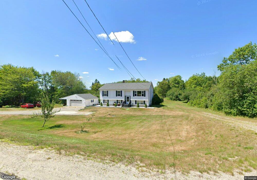
337 E Side Rd Addison, ME 04606
Estimated Value: $235,301 - $366,000
4
Beds
2
Baths
1,848
Sq Ft
$170/Sq Ft
Est. Value
About This Home
This home is located at 337 E Side Rd, Addison, ME 04606 and is currently estimated at $313,825, approximately $169 per square foot. 337 E Side Rd is a home located in Washington County.
Ownership History
Date
Name
Owned For
Owner Type
Purchase Details
Closed on
Jul 7, 2017
Sold by
Beal Harold E
Bought by
Lizcano Chavarria-Mosqueda D and Lizcano Adrian
Current Estimated Value
Home Financials for this Owner
Home Financials are based on the most recent Mortgage that was taken out on this home.
Original Mortgage
$145,809
Outstanding Balance
$120,166
Interest Rate
3.95%
Mortgage Type
FHA
Estimated Equity
$193,659
Purchase Details
Closed on
Feb 9, 2012
Sold by
Beal Harold E
Bought by
Pleasant Rvr Wildlf Fndtn
Create a Home Valuation Report for This Property
The Home Valuation Report is an in-depth analysis detailing your home's value as well as a comparison with similar homes in the area
Purchase History
| Date | Buyer | Sale Price | Title Company |
|---|---|---|---|
| Lizcano Chavarria-Mosqueda D | -- | -- | |
| Pleasant Rvr Wildlf Fndtn | -- | -- |
Source: Public Records
Mortgage History
| Date | Status | Borrower | Loan Amount |
|---|---|---|---|
| Open | Lizcano Chavarria-Mosqueda D | $145,809 |
Source: Public Records
Tax History
| Year | Tax Paid | Tax Assessment Tax Assessment Total Assessment is a certain percentage of the fair market value that is determined by local assessors to be the total taxable value of land and additions on the property. | Land | Improvement |
|---|---|---|---|---|
| 2025 | $2,750 | $142,500 | $30,500 | $112,000 |
| 2024 | $2,668 | $142,500 | $30,500 | $112,000 |
| 2023 | $2,454 | $142,500 | $30,500 | $112,000 |
| 2022 | $2,341 | $141,000 | $29,000 | $112,000 |
| 2021 | $2,341 | $141,000 | $29,000 | $112,000 |
| 2020 | $2,256 | $141,000 | $29,000 | $112,000 |
| 2019 | $2,242 | $141,000 | $29,000 | $112,000 |
| 2018 | $2,242 | $141,000 | $29,000 | $112,000 |
| 2017 | $2,242 | $141,000 | $29,000 | $112,000 |
| 2016 | $2,060 | $141,100 | $29,000 | $112,100 |
| 2015 | $2,025 | $141,100 | $29,000 | $112,100 |
| 2014 | $1,891 | $141,100 | $29,000 | $112,100 |
| 2013 | $1,761 | $140,900 | $29,000 | $111,900 |
Source: Public Records
Map
Nearby Homes
- 16 & 18 Nelson Way
- 337 W Side Rd
- Lot #7 Highland Rd
- M20L2 E Side Rd
- Lot 13 Reef Point Rd
- Lot 12 Reef Point Rd
- 29 Reef Point Rd
- 361 Water St
- 780 E Side Rd
- 386 Indian River Rd
- 100 Hardwood Point
- 330 Point St
- M5L42 Hook Rd
- M3 L53 Cates Rd
- 139 Wilson District Rd
- 40 Airport Rd
- 251 Ripley Neck Rd
- 126 Point St
- 75 Point St
- 1222 Main St
Your Personal Tour Guide
Ask me questions while you tour the home.