Estimated Value: $573,000 - $1,691,000
3
Beds
2
Baths
2,005
Sq Ft
$565/Sq Ft
Est. Value
About This Home
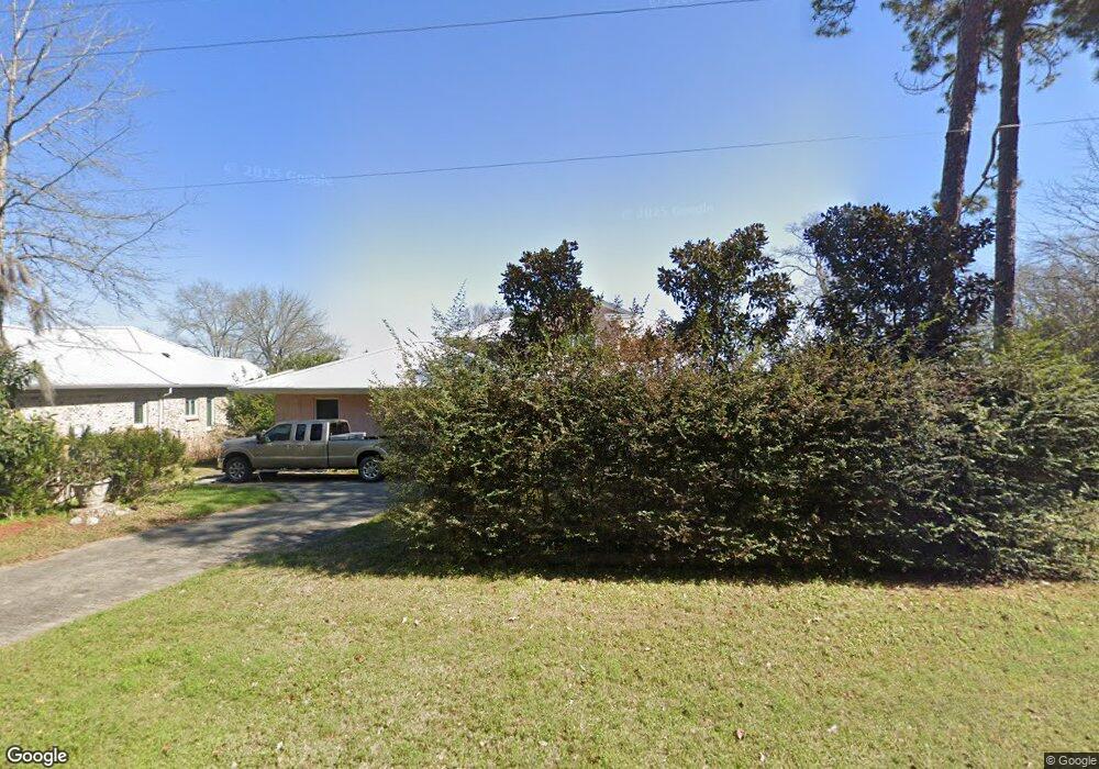
This home is located at 337 Flintside Dr, Cobb, GA 31735 and is currently estimated at $1,132,941, approximately $565 per square foot. 337 Flintside Dr is a home located in Sumter County with nearby schools including Sumter County Primary School, Sumter County Elementary School, and Sumter County Middle School.
Ownership History
Date
Name
Owned For
Owner Type
Purchase Details
Closed on
Oct 5, 2006
Sold by
Sauget Charlotte Joerg
Bought by
Wilson Susette Joerg
Current Estimated Value
Purchase Details
Closed on
Nov 30, 2005
Sold by
Todd John H
Bought by
Sauget Charlotte Joerg and Wilson Susette Joerg
Purchase Details
Closed on
Jan 9, 1992
Sold by
Todd John H
Bought by
Todd John H
Purchase Details
Closed on
May 10, 1985
Sold by
Bailey Betty Hawkes
Bought by
Todd John H
Purchase Details
Closed on
Mar 20, 1978
Sold by
Napier B L
Bought by
Bailey Betty Hawkes
Purchase Details
Closed on
Jul 16, 1975
Bought by
Napier B L
Create a Home Valuation Report for This Property
The Home Valuation Report is an in-depth analysis detailing your home's value as well as a comparison with similar homes in the area
Purchase History
| Date | Buyer | Sale Price | Title Company |
|---|---|---|---|
| Wilson Susette Joerg | $150,000 | -- | |
| Sauget Charlotte Joerg | $300,000 | -- | |
| Todd John H | -- | -- | |
| Todd John H | $58,000 | -- | |
| Bailey Betty Hawkes | $36,500 | -- | |
| Napier B L | $19,000 | -- |
Source: Public Records
Tax History
| Year | Tax Paid | Tax Assessment Tax Assessment Total Assessment is a certain percentage of the fair market value that is determined by local assessors to be the total taxable value of land and additions on the property. | Land | Improvement |
|---|---|---|---|---|
| 2025 | $7,990 | $241,140 | $53,600 | $187,540 |
| 2024 | $7,990 | $241,140 | $53,600 | $187,540 |
| 2023 | $7,752 | $241,140 | $53,600 | $187,540 |
| 2022 | $7,752 | $241,140 | $53,600 | $187,540 |
| 2021 | $7,769 | $241,140 | $53,600 | $187,540 |
| 2020 | $8,024 | $241,140 | $53,600 | $187,540 |
| 2019 | $7,974 | $241,140 | $53,600 | $187,540 |
| 2018 | $7,974 | $241,140 | $53,600 | $187,540 |
| 2017 | $7,591 | $241,140 | $53,600 | $187,540 |
| 2016 | $7,981 | $241,140 | $53,600 | $187,540 |
| 2015 | -- | $252,900 | $44,640 | $208,260 |
Source: Public Records
Map
Nearby Homes
- 418 Flintside Dr
- 373 Ed Stephens Rd Unit E
- 377 Ed Stephens Rd
- Lot # 2 Rose Landing
- 175 Flintside Dr
- 115 Ellis Ct
- 631 Flintside Dr
- 655 Flintside Dr
- 600 Scenic Route
- Lot 1, 2 Scenic Route
- 580 Scenic Route
- Lot 3,4 Scenic Route
- 254 Valhalla Rd S
- 254 Valhalla Rd Unit F
- 241 Valhalla Rd Lot 1
- 687 Flintside Dr
- 850 Scenic Route
- 0 Valhalla Rd S Unit 138510
- 241 Valhalla Rd S Unit LOT 1
- 241 Valhalla Rd S Unit LOT 4
- 335 Flintside Dr
- 341 Flintside Dr
- 345 Flintside Dr
- 333 Flintside Dr
- 349 Flintside Dr
- 329 Flintside Dr
- 329 Flintside Dr
- 353 Flintside Dr
- 355 Flintside Dr
- 179 Riverside Dr
- 361B Flintside Dr
- 361A Flintside Dr
- 203 Flintside Dr
- 369 Flintside Dr
- 373 Flintside Dr
- 375 Flintside Dr
- 165 Riverside Dr
- 160 Riverside Dr
- 161 Riverside Dr
- 379 Flintside Dr
Your Personal Tour Guide
Ask me questions while you tour the home.