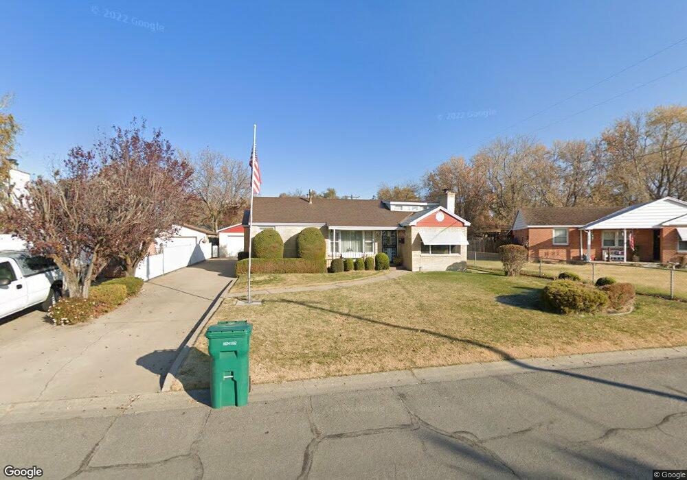
337 Francis Ave Layton, UT 84041
Estimated Value: $342,000 - $378,000
3
Beds
1
Bath
1,057
Sq Ft
$340/Sq Ft
Est. Value
About This Home
This home is located at 337 Francis Ave, Layton, UT 84041 and is currently estimated at $358,899, approximately $339 per square foot. 337 Francis Ave is a home located in Davis County with nearby schools including Crestview Elementary School, Central Davis Junior High School, and Layton High School.
Ownership History
Date
Name
Owned For
Owner Type
Purchase Details
Closed on
Apr 4, 2024
Sold by
Wood Cheryl Ann and Checketts Sandra Sue
Bought by
Favero Angie
Current Estimated Value
Home Financials for this Owner
Home Financials are based on the most recent Mortgage that was taken out on this home.
Original Mortgage
$195,500
Outstanding Balance
$192,410
Interest Rate
6.9%
Mortgage Type
New Conventional
Estimated Equity
$166,489
Create a Home Valuation Report for This Property
The Home Valuation Report is an in-depth analysis detailing your home's value as well as a comparison with similar homes in the area
Home Values in the Area
Average Home Value in this Area
Purchase History
| Date | Buyer | Sale Price | Title Company |
|---|---|---|---|
| Favero Angie | -- | Cottonwood Title |
Source: Public Records
Mortgage History
| Date | Status | Borrower | Loan Amount |
|---|---|---|---|
| Open | Favero Angie | $195,500 |
Source: Public Records
Tax History Compared to Growth
Tax History
| Year | Tax Paid | Tax Assessment Tax Assessment Total Assessment is a certain percentage of the fair market value that is determined by local assessors to be the total taxable value of land and additions on the property. | Land | Improvement |
|---|---|---|---|---|
| 2025 | $1,635 | $171,600 | $108,639 | $62,961 |
| 2024 | $1,581 | $167,199 | $126,177 | $41,022 |
| 2023 | $0 | $280,000 | $146,258 | $133,742 |
| 2022 | $1,082 | $154,000 | $78,441 | $75,559 |
| 2021 | $1,082 | $219,000 | $113,033 | $105,967 |
| 2020 | $1,082 | $190,000 | $93,838 | $96,162 |
| 2019 | $1,082 | $182,000 | $87,981 | $94,019 |
| 2018 | $0 | $163,000 | $87,981 | $75,019 |
| 2016 | $1,039 | $76,286 | $28,928 | $47,358 |
| 2015 | $987 | $68,861 | $28,928 | $39,933 |
| 2014 | $999 | $71,246 | $28,928 | $42,318 |
| 2013 | -- | $69,351 | $16,544 | $52,807 |
Source: Public Records
Map
Nearby Homes
- 1096 N 300 W
- 526 King St Unit 2
- 495 Spurlock St
- 480 Spurlock St
- 103 W 1275 N
- 1180 N 100 E
- 441 Church St
- 1366 N Main St Unit 5
- 6 Grover St
- 1490 N 175 W
- 1113 W Angel Hill Ct
- 324 E 1325 N
- 485 W 100 N
- 1677 N 1600 W Unit 134
- 1583 N 25 E
- 142 Green Dr
- 356 W 25 N
- 937 Rainbow Dr
- 1715 N Alder St
- 355 W Gentile St