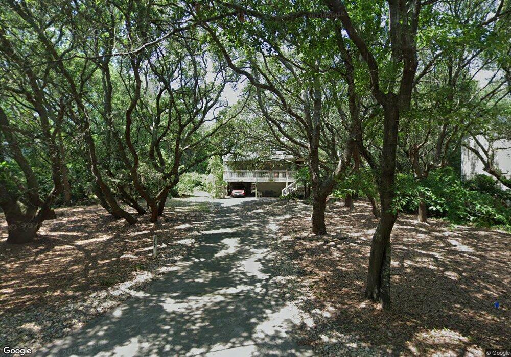
337 Hillcrest Dr Unit 2 Kitty Hawk, NC 27949
Estimated Value: $741,000 - $819,000
4
Beds
3
Baths
1,848
Sq Ft
$417/Sq Ft
Est. Value
About This Home
This home is located at 337 Hillcrest Dr Unit 2, Kitty Hawk, NC 27949 and is currently estimated at $770,288, approximately $416 per square foot. 337 Hillcrest Dr Unit 2 is a home located in Dare County with nearby schools including Kitty Hawk Elementary School, First Flight Middle School, and First Flight High School.
Ownership History
Date
Name
Owned For
Owner Type
Purchase Details
Closed on
Jun 3, 2016
Sold by
Harrison David Alan and Harrison David
Bought by
Harrison Brenda Lee
Current Estimated Value
Purchase Details
Closed on
Jun 30, 2010
Sold by
Drodvillo Robert J and Minalga Carol J
Bought by
Harrison David and Harrison Brenda
Home Financials for this Owner
Home Financials are based on the most recent Mortgage that was taken out on this home.
Original Mortgage
$288,000
Outstanding Balance
$191,688
Interest Rate
4.83%
Mortgage Type
New Conventional
Estimated Equity
$578,600
Create a Home Valuation Report for This Property
The Home Valuation Report is an in-depth analysis detailing your home's value as well as a comparison with similar homes in the area
Home Values in the Area
Average Home Value in this Area
Purchase History
| Date | Buyer | Sale Price | Title Company |
|---|---|---|---|
| Harrison Brenda Lee | -- | Attorney | |
| Harrison Brenda Lee | -- | Attorney | |
| Harrison David | $360,000 | None Available | |
| Harrison David | $360,000 | None Available |
Source: Public Records
Mortgage History
| Date | Status | Borrower | Loan Amount |
|---|---|---|---|
| Open | Harrison David | $288,000 |
Source: Public Records
Tax History
| Year | Tax Paid | Tax Assessment Tax Assessment Total Assessment is a certain percentage of the fair market value that is determined by local assessors to be the total taxable value of land and additions on the property. | Land | Improvement |
|---|---|---|---|---|
| 2025 | $3,218 | $713,200 | $325,500 | $387,700 |
| 2024 | $2,457 | $386,200 | $147,000 | $239,200 |
| 2023 | $1,547 | $386,200 | $147,000 | $239,200 |
| 2022 | $2,457 | $386,200 | $147,000 | $239,200 |
| 2021 | $2,457 | $386,200 | $147,000 | $239,200 |
| 2020 | $2,303 | $386,200 | $147,000 | $239,200 |
| 2019 | $2,131 | $308,800 | $137,600 | $171,200 |
| 2018 | $1,776 | $308,800 | $137,600 | $171,200 |
| 2017 | $2,131 | $308,800 | $137,600 | $171,200 |
| 2016 | $2,007 | $308,800 | $137,600 | $171,200 |
| 2014 | $2,007 | $308,800 | $137,600 | $171,200 |
Source: Public Records
Map
Nearby Homes
- 40 9th Ave W Unit Lot 45
- 343 Sea Oats Trail Unit Lot 10
- 310 Duck Rd Unit Lot 14
- 30 11th Ave W Unit Lot 63
- 305 Hillcrest Dr Unit Lot 5
- 290 Wax Myrtle Trail Unit Lot 29
- 45 N Dune Loop Unit Lot 55
- 269 Hillcrest Dr Unit Lot 1 A
- 126 Jay Crest Rd Unit 3
- 131 Brandon Ct Unit Lot 35
- 120 Tuckahoe Dr W Unit 75
- 2 Hickory Trail
- 102 Sea Hawk Dr E Unit Lot 19
- 125 Seabreeze Dr
- 125 Seabreeze Dr Unit Lot 10
- 123 Georgetown Rd Unit 19
- 123 Georgetown Sands Rd Unit 24
- 123 Georgetown Sands Rd Unit 19
- 101 Georgetown Sands Rd Unit 47
- 119 Osprey Ridge Rd Unit Lot 11
- 337 Hillcrest Dr
- 335 Hillcrest Dr
- 339 Hillcrest Dr
- 35 9th Ave W
- 31 9th Ave W
- 33 9th Ave W
- 333 Hillcrest Dr
- 336 Hillcrest Dr
- 37 9th Ave W
- 326 Wax Myrtle Trail
- 29 9th Ave
- 331 Hillcrest Dr
- 39 9th Ave W
- 27 9th Ave
- 325 Duck Rd
- 32 9th Ave W
- 34 9th Ave W
- 324 Wax Myrtle Trail
- 332 Sea Oats Ln
- 330 Sea Oats Trail
Your Personal Tour Guide
Ask me questions while you tour the home.