337 Jim Ln Coalport, PA 16627
Estimated Value: $152,565 - $199,000
--
Bed
--
Bath
--
Sq Ft
4.24
Acres
About This Home
This home is located at 337 Jim Ln, Coalport, PA 16627 and is currently estimated at $172,641. 337 Jim Ln is a home with nearby schools including Glendale Elementary School and Glendale Junior/Senior High School.
Ownership History
Date
Name
Owned For
Owner Type
Purchase Details
Closed on
Mar 1, 2013
Sold by
Crawford Brian R and Crawford Connie J
Bought by
Crawford Brian R and Crawford Connie J
Current Estimated Value
Purchase Details
Closed on
May 4, 2006
Sold by
Cherish Carolyn J
Bought by
Crawford Brian R and Crawford Connie J
Home Financials for this Owner
Home Financials are based on the most recent Mortgage that was taken out on this home.
Original Mortgage
$110,000
Interest Rate
6.34%
Mortgage Type
New Conventional
Create a Home Valuation Report for This Property
The Home Valuation Report is an in-depth analysis detailing your home's value as well as a comparison with similar homes in the area
Home Values in the Area
Average Home Value in this Area
Purchase History
| Date | Buyer | Sale Price | Title Company |
|---|---|---|---|
| Crawford Brian R | -- | None Available | |
| Crawford Brian R | $61,173 | None Available |
Source: Public Records
Mortgage History
| Date | Status | Borrower | Loan Amount |
|---|---|---|---|
| Closed | Crawford Brian R | $110,000 |
Source: Public Records
Tax History Compared to Growth
Tax History
| Year | Tax Paid | Tax Assessment Tax Assessment Total Assessment is a certain percentage of the fair market value that is determined by local assessors to be the total taxable value of land and additions on the property. | Land | Improvement |
|---|---|---|---|---|
| 2025 | $1,901 | $24,150 | $2,850 | $21,300 |
| 2024 | $302 | $12,075 | $1,425 | $10,650 |
| 2023 | $1,751 | $12,075 | $1,425 | $10,650 |
| 2022 | $1,703 | $12,075 | $1,425 | $10,650 |
| 2021 | $1,753 | $12,075 | $1,425 | $10,650 |
| 2020 | $1,753 | $12,075 | $1,425 | $10,650 |
| 2019 | $205 | $12,075 | $1,425 | $10,650 |
| 2018 | $1,486 | $12,075 | $1,425 | $10,650 |
| 2017 | $1,529 | $12,075 | $1,425 | $10,650 |
| 2016 | -- | $12,075 | $1,425 | $10,650 |
| 2015 | -- | $12,075 | $1,425 | $10,650 |
| 2014 | -- | $10,750 | $1,425 | $9,325 |
Source: Public Records
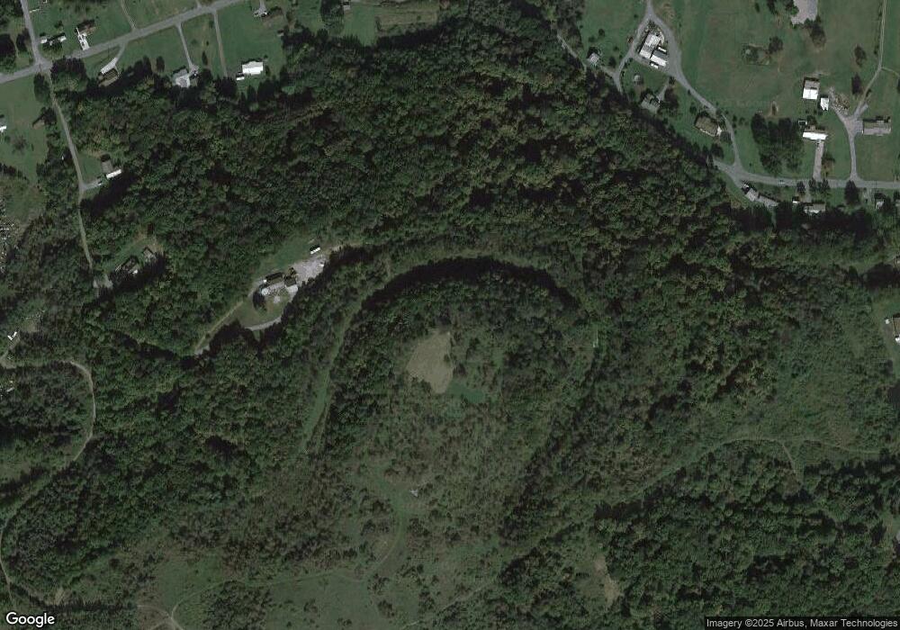
Map
Nearby Homes
- 5480 St Lawrence Rd
- 31 Acres Along Saint Lawrence Rd
- 1460 Main St
- 53 Hill St
- 103 1st Ave
- 0 Heverly Blvd
- 49 Beers Ln
- 773 Church Hill Rd
- 128 N Crescent Dr
- 124 Hayes Rd
- 1683 Beaver Valley Rd
- 1675 Beaver Valley Rd
- 122 Scenic Cir
- 275 Frye Rd
- 284 N Locust Ln
- 237 N Locust Ln
- 245 N North Locust Ln
- 5331 Glen Hope Blvd
- 102 S Locust Ln
- 0 Brink Rd