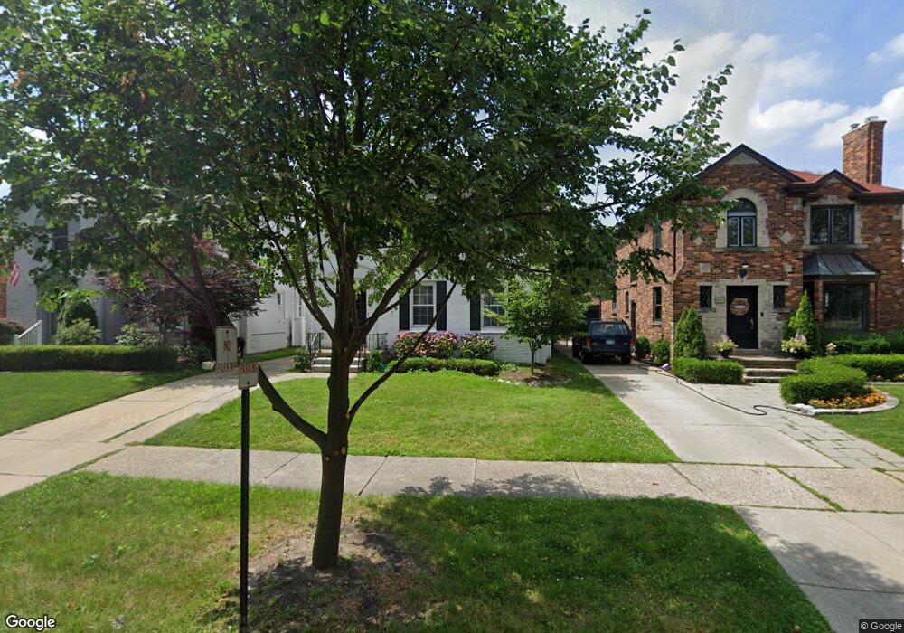
337 Merriweather Rd Grosse Pointe Farms, MI 48236
Estimated Value: $410,844 - $509,000
--
Bed
2
Baths
1,688
Sq Ft
$275/Sq Ft
Est. Value
About This Home
This home is located at 337 Merriweather Rd, Grosse Pointe Farms, MI 48236 and is currently estimated at $463,961, approximately $274 per square foot. 337 Merriweather Rd is a home located in Wayne County with nearby schools including Kerby Elementary School, Brownell Middle School, and Grosse Pointe South High School.
Ownership History
Date
Name
Owned For
Owner Type
Purchase Details
Closed on
Jan 6, 2012
Sold by
Mcdermott Edward L and Mcdermott Susan J
Bought by
Mcdermott Edward L and Mcdermott Susan J
Current Estimated Value
Home Financials for this Owner
Home Financials are based on the most recent Mortgage that was taken out on this home.
Original Mortgage
$168,000
Interest Rate
3.98%
Mortgage Type
New Conventional
Create a Home Valuation Report for This Property
The Home Valuation Report is an in-depth analysis detailing your home's value as well as a comparison with similar homes in the area
Home Values in the Area
Average Home Value in this Area
Purchase History
| Date | Buyer | Sale Price | Title Company |
|---|---|---|---|
| Mcdermott Edward L | -- | None Available |
Source: Public Records
Mortgage History
| Date | Status | Borrower | Loan Amount |
|---|---|---|---|
| Closed | Mcdermott Edward L | $168,000 |
Source: Public Records
Tax History Compared to Growth
Tax History
| Year | Tax Paid | Tax Assessment Tax Assessment Total Assessment is a certain percentage of the fair market value that is determined by local assessors to be the total taxable value of land and additions on the property. | Land | Improvement |
|---|---|---|---|---|
| 2025 | $3,170 | $181,500 | $0 | $0 |
| 2024 | $3,170 | $170,100 | $0 | $0 |
| 2023 | $2,904 | $156,700 | $0 | $0 |
| 2022 | $2,904 | $143,800 | $0 | $0 |
| 2021 | $5,329 | $136,700 | $0 | $0 |
| 2019 | $5,240 | $130,300 | $0 | $0 |
| 2018 | $2,682 | $123,500 | $0 | $0 |
| 2017 | $4,653 | $120,500 | $0 | $0 |
| 2016 | $4,878 | $115,200 | $0 | $0 |
| 2015 | $9,662 | $107,600 | $0 | $0 |
| 2013 | $9,360 | $93,600 | $0 | $0 |
| 2012 | $2,440 | $91,800 | $24,400 | $67,400 |
Source: Public Records
Map
Nearby Homes
- 343 Mount Vernon Ave
- 317 Mount Vernon Ave
- 380 Merriweather Rd
- 341 Mcmillan Rd
- 352 Mckinley Ave
- 314 Mount Vernon Ave
- 302 Mount Vernon Ave
- 827 Fisher Rd
- 276 Lewiston Rd
- 415 Lothrop Rd
- 259 Mount Vernon Ave
- 876 Washington Rd
- 194 Charlevoix Ave
- 975 Fisher Rd
- 218 Merriweather Rd
- 745 Lincoln Rd
- 441 Manor St
- 240 Mckinley Ave
- 265 Williams Ave
- 351 Moselle Place
- 335 Merriweather Rd
- 339 Merriweather Rd
- 331 Merriweather Rd
- 343 Merriweather Rd
- 329 Merriweather Rd
- 338 Moran Rd
- 345 Merriweather Rd
- 336 Moran Rd
- 342 Moran Rd
- 332 Moran Rd
- 344 Moran Rd
- 327 Merriweather Rd
- 349 Merriweather Rd
- 330 Moran Rd
- 338 Merriweather Rd
- 346 Moran Rd
- 340 Merriweather Rd
- 336 Merriweather Rd
- 344 Merriweather Rd
- 332 Merriweather Rd