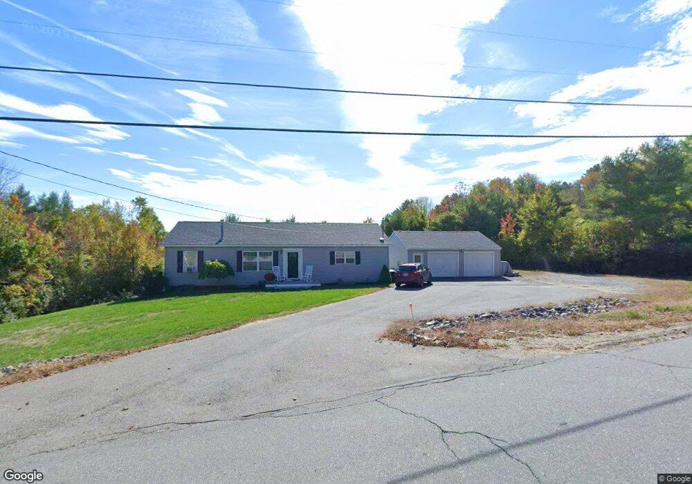
337 Metcalf Rd Winthrop, ME 04364
Estimated Value: $303,000 - $415,000
3
Beds
2
Baths
1,404
Sq Ft
$256/Sq Ft
Est. Value
About This Home
This home is located at 337 Metcalf Rd, Winthrop, ME 04364 and is currently estimated at $359,518, approximately $256 per square foot. 337 Metcalf Rd is a home located in Kennebec County with nearby schools including Winthrop Grade School, Winthrop Middle School, and Winthrop High School.
Ownership History
Date
Name
Owned For
Owner Type
Purchase Details
Closed on
Oct 30, 2024
Sold by
Carter Jeremy J
Bought by
Carter Christina M
Current Estimated Value
Purchase Details
Closed on
Oct 10, 2013
Sold by
Carter Christina M
Bought by
Carter Jeremy J
Home Financials for this Owner
Home Financials are based on the most recent Mortgage that was taken out on this home.
Original Mortgage
$166,500
Interest Rate
4.53%
Mortgage Type
New Conventional
Create a Home Valuation Report for This Property
The Home Valuation Report is an in-depth analysis detailing your home's value as well as a comparison with similar homes in the area
Home Values in the Area
Average Home Value in this Area
Purchase History
| Date | Buyer | Sale Price | Title Company |
|---|---|---|---|
| Carter Christina M | -- | None Available | |
| Carter Christina M | -- | None Available | |
| Carter Jeremy J | -- | -- | |
| Carter Jeremy J | -- | -- |
Source: Public Records
Mortgage History
| Date | Status | Borrower | Loan Amount |
|---|---|---|---|
| Previous Owner | Carter Jeremy J | $166,500 |
Source: Public Records
Tax History Compared to Growth
Tax History
| Year | Tax Paid | Tax Assessment Tax Assessment Total Assessment is a certain percentage of the fair market value that is determined by local assessors to be the total taxable value of land and additions on the property. | Land | Improvement |
|---|---|---|---|---|
| 2024 | $3,892 | $168,500 | $27,100 | $141,400 |
| 2022 | $3,668 | $168,500 | $27,100 | $141,400 |
| 2021 | $3,463 | $168,500 | $27,100 | $141,400 |
| 2020 | $3,480 | $168,500 | $27,100 | $141,400 |
| 2019 | $3,412 | $168,500 | $27,100 | $141,400 |
| 2018 | $3,085 | $168,500 | $27,100 | $141,400 |
| 2017 | $2,886 | $168,500 | $27,100 | $141,400 |
| 2016 | $2,669 | $168,500 | $27,100 | $141,400 |
| 2015 | $2,575 | $168,500 | $27,100 | $141,400 |
| 2014 | $2,517 | $164,700 | $27,100 | $137,600 |
Source: Public Records
Map
Nearby Homes
- 8 Horseshoe Rd
- 90 Bearce Rd
- 616 Stanley Rd
- 183 Loon Cove Ln
- 795 Memorial Dr
- 882 Memorial Dr
- 336 Main St
- 333 Stanley Rd
- 11 Highland Heights
- 0 U S Highway 202
- M 8 Lot 5B Maranacook Rd
- Lot 55 S Birchwood Ln
- 60 Route 41
- 974 Sturtevant Hill Rd
- 42 Squire Ct
- 31 Squire Ct
- 46 Squire Ct
- 2549 US Route 202
- 50 Robin Hood Dr
- 3 Gayton Ln