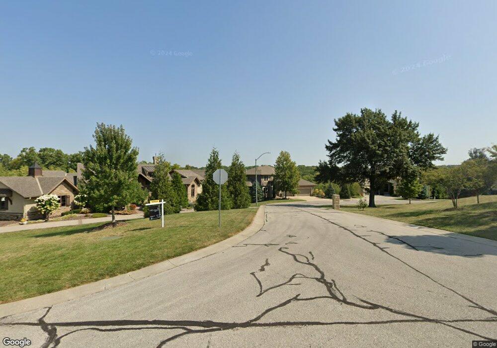
337 NW Thoreau Cir Lees Summit, MO 64081
Estimated Value: $914,000 - $1,003,087
About This Home
This home is located at 337 NW Thoreau Cir, Lees Summit, MO 64081 and is currently estimated at $949,362, approximately $287 per square foot. 337 NW Thoreau Cir is a home located in Jackson County with nearby schools including Cedar Creek Elementary School, Pleasant Lea Middle School, and Lee's Summit Senior High School.
Ownership History
We collect this data history from publicly available records. To have your information removed, we recommend requesting removal directly through your county’s website.
Purchase Details
Purchase Details
Home Financials for this Owner
Home Financials are based on the most recent Mortgage that was taken out on this home.Purchase Details
Home Financials for this Owner
Home Financials are based on the most recent Mortgage that was taken out on this home.Home Values in the Area
Average Home Value in this Area
Purchase History
We collect this data history from publicly available records. To have your information removed, we recommend requesting removal directly through your county’s website.
| Date | Buyer | Sale Price | Title Company |
|---|---|---|---|
| -- | None Listed On Document | ||
| -- | Coffelt Land Title Inc | ||
| -- | Coffelt Land Title Inc |
Mortgage History
We collect this data history from publicly available records. To have your information removed, we recommend requesting removal directly through your county’s website.
| Date | Status | Borrower | Loan Amount |
|---|---|---|---|
| Previous Owner | $420,000 | ||
| Previous Owner | $592,000 |
Tax History
We collect this data history from publicly available records. To have your information removed, we recommend requesting removal directly through your county’s website.
| Year | Tax Paid | Tax Assessment Tax Assessment Total Assessment is a certain percentage of the fair market value that is determined by local assessors to be the total taxable value of land and additions on the property. | Land | Improvement |
|---|---|---|---|---|
| 2025 | $11,318 | $166,250 | $28,359 | $137,891 |
| 2024 | $11,318 | $156,750 | $38,000 | $118,750 |
| 2023 | $13,083 | $182,514 | $27,550 | $154,964 |
| 2022 | $12,109 | $150,005 | $25,848 | $124,157 |
| 2021 | $12,360 | $150,005 | $25,848 | $124,157 |
| 2020 | $12,632 | $151,810 | $25,848 | $125,962 |
| 2019 | $12,287 | $151,810 | $25,848 | $125,962 |
| 2018 | $1,755,932 | $140,600 | $22,496 | $118,104 |
| 2017 | $12,388 | $155,150 | $22,496 | $132,654 |
| 2016 | $12,388 | $140,601 | $32,481 | $108,120 |
| 2014 | $876 | $9,744 | $9,744 | $0 |
Map
- 341 NW Thoreau Cir
- 336 NW Thoreau Cir
- 3121 SW Merriam Dr
- 2648 NW Ashurst Ln
- 202 NW Joshua Dr
- 129 NW Morton Dr
- 100 SW Gray Cir
- 317 NW Lovins
- 316 NW Lovins
- 320 NW Lovins
- 321 NW Lovins
- 3104 NW Berkebile Ln
- 321 NW Earle Ln
- 469 NW Riven Rock Place
- 2905 SW Muir Dr
- 319 NW Rockwood Ct
- 510 NW Ashurst Place
- 316 NW Earle Ln
- 308 NW Earle Ln
- 325 NW Earle Ln
- 309 NW Thoreau Cir
- 333 NW Thoreau Cir
- 332 NW Thoreau Cir
- 328 NW Thoreau Cir
- 325 NW Thoreau Ct
- 324 NW Thoreau Cir
- 320 NW Thoreau Cir
- 321 NW Thoreau Ct
- 304 NW Thoreau Cir
- 2800 NW Audubon Ln
- 2720 NW Thoreau Dr
- 300 NW Thoreau Cir
- 2801 NW Nutall Ct
- 2716 NW Thoreau Dr
- 2724 NW Thoreau Dr
- 2804 NW Audubon Ln
- 317 NW Thoreau Ct
- 305 NW Thoreau Cir
- 2801 NW Audubon Ln
- 2800 NW Nutall Ct
Ask me questions while you tour the home.