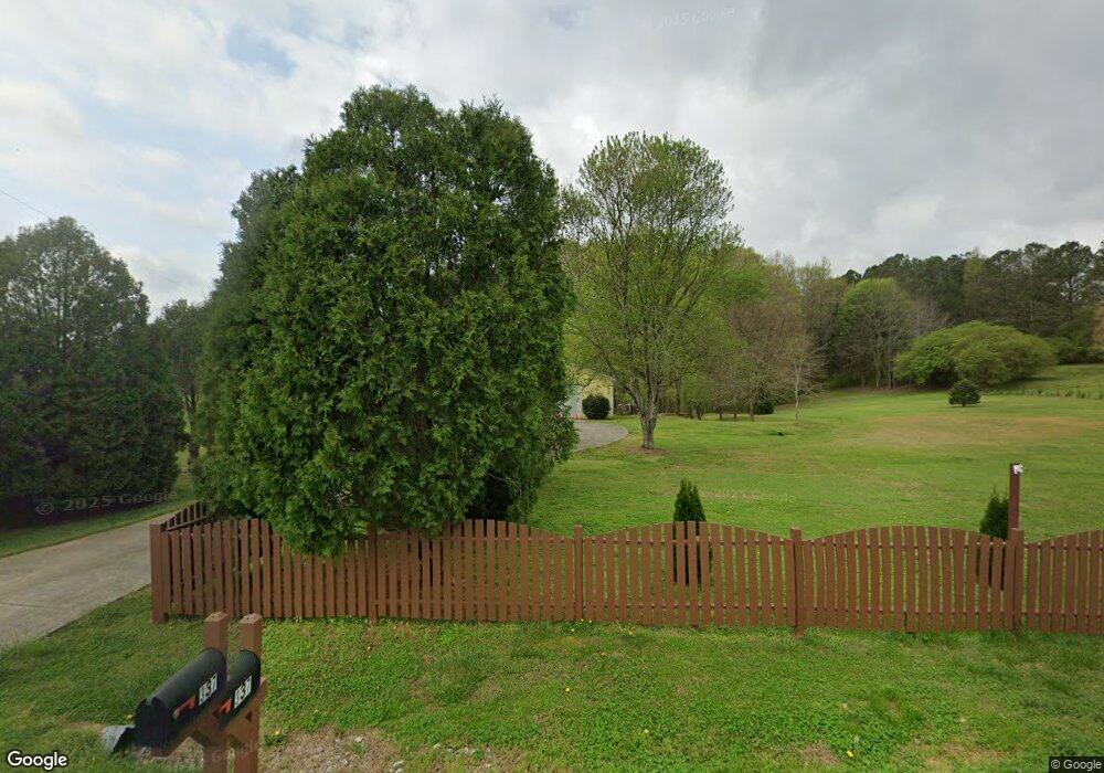
337 Parrish Rd Cedartown, GA 30125
Estimated Value: $358,000 - $551,000
3
Beds
4
Baths
2,638
Sq Ft
$164/Sq Ft
Est. Value
About This Home
This home is located at 337 Parrish Rd, Cedartown, GA 30125 and is currently estimated at $431,924, approximately $163 per square foot. 337 Parrish Rd is a home located in Polk County.
Ownership History
Date
Name
Owned For
Owner Type
Purchase Details
Closed on
Sep 30, 2021
Sold by
Eberhard Patricia E
Bought by
Eberhard Robert
Current Estimated Value
Purchase Details
Closed on
Jun 8, 2000
Sold by
Eberhard Robert W
Bought by
Eberhard Robert W and Eber Patricia A
Purchase Details
Closed on
Mar 23, 2000
Sold by
Saunders Michael D
Bought by
Eberhard Robert W
Purchase Details
Closed on
Feb 16, 1995
Sold by
Saunders Joyce D
Bought by
Saunders Michael D
Create a Home Valuation Report for This Property
The Home Valuation Report is an in-depth analysis detailing your home's value as well as a comparison with similar homes in the area
Purchase History
| Date | Buyer | Sale Price | Title Company |
|---|---|---|---|
| Eberhard Robert | -- | -- | |
| Eberhard Robert W | -- | -- | |
| Eberhard Robert W | $17,000 | -- | |
| Saunders Michael D | -- | -- |
Source: Public Records
Tax History
| Year | Tax Paid | Tax Assessment Tax Assessment Total Assessment is a certain percentage of the fair market value that is determined by local assessors to be the total taxable value of land and additions on the property. | Land | Improvement |
|---|---|---|---|---|
| 2025 | $3,314 | $166,146 | $14,406 | $151,740 |
| 2024 | $3,077 | $161,933 | $10,193 | $151,740 |
| 2023 | $2,262 | $108,718 | $10,193 | $98,525 |
| 2022 | $1,809 | $89,598 | $6,796 | $82,802 |
| 2021 | $1,832 | $89,598 | $6,796 | $82,802 |
| 2020 | $1,836 | $89,598 | $6,796 | $82,802 |
| 2019 | $1,792 | $80,056 | $6,796 | $73,260 |
| 2018 | $1,862 | $80,920 | $6,796 | $74,124 |
Source: Public Records
Map
Nearby Homes
- 75 Weaver Rd
- 0 Santa Claus Rd Unit 7735787
- 0 Santa Claus Rd Unit 7706526
- 0 Santa Claus Rd Unit 10676218
- 0 Mountain Home Rd Unit 1020-B 10351940
- 0 Mountain Home Rd Unit 1020-C 10351948
- 0 Mountain Home Rd Unit 1020-A 10351930
- 612 Michael Blvd
- 1343 Prior Station Rd
- 354 Michael Blvd
- 387 Michael Blvd
- 0 Cave Spring Rd Unit 10631588
- 0 Cave Spring Rd Unit 7671027
- 425 Chubbtown Rd
- 39 Summerwind Dr
- 112 Mississippi Dr
- 914 Chubbtown Rd
- 8 Stonegate Dr
- 508 Branch St
- 512 Branch St
- 325 Parrish Rd
- 1073 Parrish Rd
- 318 Parrish Rd
- 306 Parrish Rd
- 280 Parrish Rd
- 409 Parrish Rd
- 402 Parrish Rd
- 360 Parrish Rd Unit 1688 ACRE CIRCLE
- 360 Parrish Rd
- 26 Parrish Rd
- 383 Parrish Rd
- 53 Parrish Rd
- 53 Parrish Rd
- 432 Parrish Rd
- 404 Parrish Rd
- 452 Parrish Rd
- 418 Parrish Rd
- 480 Parrish Rd
- 238 Short Rd
- 520 Parrish Rd
Your Personal Tour Guide
Ask me questions while you tour the home.