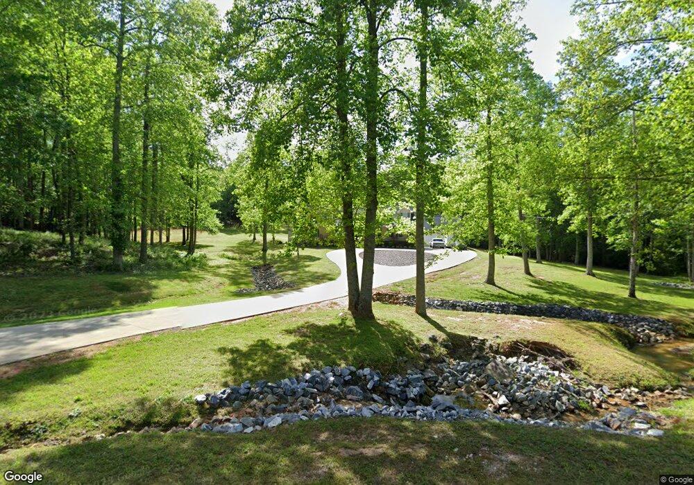
337 Pine Grove Rd Cornelia, GA 30531
Estimated Value: $441,000 - $570,000
3
Beds
2
Baths
3,000
Sq Ft
$165/Sq Ft
Est. Value
About This Home
This home is located at 337 Pine Grove Rd, Cornelia, GA 30531 and is currently estimated at $494,292, approximately $164 per square foot. 337 Pine Grove Rd is a home located in Habersham County with nearby schools including Level Grove Elementary School, South Habersham Middle School, and Habersham Success Academy.
Ownership History
Date
Name
Owned For
Owner Type
Purchase Details
Closed on
Apr 21, 2016
Sold by
Snyder Nellie Virginia
Bought by
Snyder Nellie Virginia Liv
Current Estimated Value
Purchase Details
Closed on
Apr 8, 2005
Sold by
Casto Bernice R
Bought by
Casto Bernice R and Snyder Nellie Virginia
Purchase Details
Closed on
Mar 4, 2005
Sold by
Casto Bernice
Bought by
Sanders Kevin D
Create a Home Valuation Report for This Property
The Home Valuation Report is an in-depth analysis detailing your home's value as well as a comparison with similar homes in the area
Home Values in the Area
Average Home Value in this Area
Purchase History
| Date | Buyer | Sale Price | Title Company |
|---|---|---|---|
| Snyder Nellie Virginia Liv | -- | -- | |
| Casto Bernice R | -- | -- | |
| Sanders Kevin D | -- | -- |
Source: Public Records
Tax History
| Year | Tax Paid | Tax Assessment Tax Assessment Total Assessment is a certain percentage of the fair market value that is determined by local assessors to be the total taxable value of land and additions on the property. | Land | Improvement |
|---|---|---|---|---|
| 2025 | $4,530 | $187,515 | $31,219 | $156,296 |
| 2024 | $4,068 | $156,740 | $24,444 | $132,296 |
| 2023 | $3,377 | $135,072 | $24,444 | $110,628 |
| 2022 | $2,737 | $104,984 | $11,204 | $93,780 |
| 2021 | $2,488 | $95,864 | $11,204 | $84,660 |
| 2020 | $2,291 | $85,196 | $11,204 | $73,992 |
| 2019 | $2,294 | $85,196 | $11,204 | $73,992 |
| 2018 | $2,276 | $85,196 | $11,204 | $73,992 |
| 2017 | $2,150 | $80,048 | $11,204 | $68,844 |
| 2016 | $2,087 | $200,120 | $11,204 | $68,844 |
| 2015 | $907 | $200,120 | $11,204 | $68,844 |
| 2014 | $900 | $195,700 | $11,204 | $67,076 |
| 2013 | -- | $78,280 | $11,204 | $67,076 |
Source: Public Records
Map
Nearby Homes
- 0 Beachwood Dr Unit 7694240
- 0 Beachwood Dr Unit 35
- 263 Woodmont Dr
- 0 Woodmont Dr Unit LOT 3
- 255 Laurel Place Dr
- 0 Hubert Harris
- 429 Hubert Harris Rd
- 4880 Pea Ridge Rd
- J Warren
- 335 Highland Pointe Dr
- 0 J Warren Rd Unit 10429700
- 424 Highland Pointe Dr
- 769 Dawn Place
- 0 State Route 365 Unit 10496178
- 0 State Route 365 Unit 10496183
- 731 Dawn Place
- 226 Highland Pointe Dr
- 3402 Bc Grant Rd
- 517 Highland Pointe Dr
- 1.73 ACRES TR3 Garrison Rd
- 343 Pine Grove Rd
- 291 Pine Grove Rd
- 322 Pine Grove Rd
- 0 Pine Grove Rd Unit Lot 18 8883070
- 253 Pine Grove Rd
- 384 Pine Grove Rd
- 140 Duncan Bridge Ln
- 210 Duncan Bridge Ln
- 425 Pine Grove Rd
- 450 Pine Grove Rd
- 239 Pine Grove Rd
- 228 Pine Grove Rd
- 3408 Duncan Bridge Rd SW
- 315 Duncan Bridge Ln
- 315 Duncan Bridge Ln
- 2980 Duncan Bridge Rd
- 341 Duncan Bridge Ln
- 512 Pine Grove Rd
- 191 Pine Grove Rd
- 513 Pine Grove Rd
Your Personal Tour Guide
Ask me questions while you tour the home.