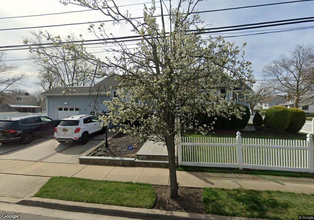
337 Ray St Freeport, NY 11520
Estimated Value: $580,000 - $652,000
3
Beds
2
Baths
1,223
Sq Ft
$498/Sq Ft
Est. Value
About This Home
This home is located at 337 Ray St, Freeport, NY 11520 and is currently estimated at $608,687, approximately $497 per square foot. 337 Ray St is a home located in Nassau County with nearby schools including Columbus Avenue School, Caroline G. Atkinson Intermediate School, and John W Dodd Middle School.
Ownership History
Date
Name
Owned For
Owner Type
Purchase Details
Closed on
Jan 25, 2018
Sold by
Zavala Charles
Bought by
Zavala Charles and Zavala Catherine
Current Estimated Value
Purchase Details
Closed on
Aug 30, 2016
Sold by
Williams Robin R and Williams Claudette
Bought by
Zavala Charles
Home Financials for this Owner
Home Financials are based on the most recent Mortgage that was taken out on this home.
Original Mortgage
$313,500
Outstanding Balance
$247,681
Interest Rate
3.43%
Mortgage Type
New Conventional
Estimated Equity
$361,006
Create a Home Valuation Report for This Property
The Home Valuation Report is an in-depth analysis detailing your home's value as well as a comparison with similar homes in the area
Home Values in the Area
Average Home Value in this Area
Purchase History
| Date | Buyer | Sale Price | Title Company |
|---|---|---|---|
| Zavala Charles | -- | -- | |
| Zavala Charles | $330,000 | Stewart Title Insurance Comp |
Source: Public Records
Mortgage History
| Date | Status | Borrower | Loan Amount |
|---|---|---|---|
| Open | Zavala Charles | $313,500 |
Source: Public Records
Tax History
| Year | Tax Paid | Tax Assessment Tax Assessment Total Assessment is a certain percentage of the fair market value that is determined by local assessors to be the total taxable value of land and additions on the property. | Land | Improvement |
|---|---|---|---|---|
| 2025 | $7,978 | $376 | $157 | $219 |
| 2024 | $766 | $368 | $154 | $214 |
| 2023 | $7,758 | $398 | $167 | $231 |
| 2022 | $7,758 | $387 | $162 | $225 |
| 2021 | $10,370 | $411 | $172 | $239 |
| 2020 | $8,128 | $462 | $441 | $21 |
| 2019 | $6,799 | $495 | $328 | $167 |
| 2018 | $7,168 | $713 | $0 | $0 |
| 2017 | $7,181 | $713 | $473 | $240 |
| 2016 | $8,251 | $713 | $473 | $240 |
| 2015 | $1,030 | $713 | $473 | $240 |
| 2014 | $1,030 | $713 | $473 | $240 |
| 2013 | $973 | $713 | $473 | $240 |
Source: Public Records
Map
Nearby Homes
- 119 S Bay Ave
- 48 Saint Marks Ave
- 265 Roosevelt Ave
- 267 Roosevelt Ave
- 173 Cedar St
- 403 S Bayview Ave
- 135 Whaley St
- 310 Miller Ave
- 280 Guy Lombardo Ave Unit 2H
- 280 Guy Lombardo Ave Unit 3D
- 463 S Bayview Ave
- 159 Southside Ave
- 175 Archer St Unit 1C
- 175 Archer St Unit 3A
- 494 S Ocean Ave Unit 1M
- 494 S Ocean Ave Unit 1H
- 494 S Ocean Ave Unit 3A
- 322 Miller Ave
- 120 Sportsmans Ave
- 160 Saint Marks Ave
Your Personal Tour Guide
Ask me questions while you tour the home.