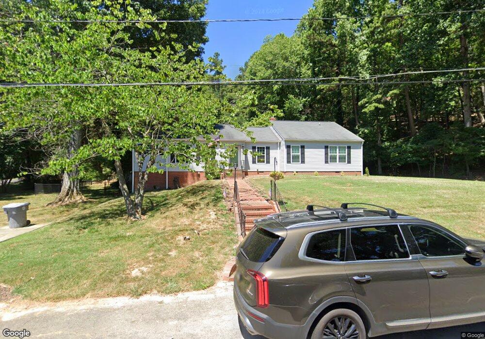
337 Sunset Dr N Asheboro, NC 27205
Estimated Value: $261,000 - $328,000
--
Bed
2
Baths
1,994
Sq Ft
$148/Sq Ft
Est. Value
About This Home
This home is located at 337 Sunset Dr N, Asheboro, NC 27205 and is currently estimated at $295,393, approximately $148 per square foot. 337 Sunset Dr N is a home located in Randolph County with nearby schools including Donna L. Loflin Elementary School, North Asheboro Middle School, and Asheboro High School.
Ownership History
Date
Name
Owned For
Owner Type
Purchase Details
Closed on
Mar 24, 2022
Sold by
Stovall Keli R
Bought by
Wilkes Craig R and Wilkes Tracie
Current Estimated Value
Home Financials for this Owner
Home Financials are based on the most recent Mortgage that was taken out on this home.
Original Mortgage
$200,000
Outstanding Balance
$187,574
Interest Rate
4.42%
Mortgage Type
VA
Estimated Equity
$107,819
Purchase Details
Closed on
Oct 26, 2021
Sold by
Brant Stovall Robert
Bought by
Stovall Keli R
Create a Home Valuation Report for This Property
The Home Valuation Report is an in-depth analysis detailing your home's value as well as a comparison with similar homes in the area
Home Values in the Area
Average Home Value in this Area
Purchase History
| Date | Buyer | Sale Price | Title Company |
|---|---|---|---|
| Wilkes Craig R | $400 | Street Richard L | |
| Stovall Keli R | -- | None Listed On Document |
Source: Public Records
Mortgage History
| Date | Status | Borrower | Loan Amount |
|---|---|---|---|
| Open | Wilkes Craig R | $200,000 |
Source: Public Records
Tax History Compared to Growth
Tax History
| Year | Tax Paid | Tax Assessment Tax Assessment Total Assessment is a certain percentage of the fair market value that is determined by local assessors to be the total taxable value of land and additions on the property. | Land | Improvement |
|---|---|---|---|---|
| 2025 | $2,429 | $190,390 | $30,770 | $159,620 |
| 2024 | $2,427 | $190,390 | $30,770 | $159,620 |
| 2023 | $2,427 | $190,390 | $30,770 | $159,620 |
| 2022 | $1,870 | $136,580 | $30,770 | $105,810 |
| 2021 | $1,870 | $136,580 | $30,770 | $105,810 |
| 2020 | $1,867 | $136,580 | $30,770 | $105,810 |
| 2019 | $1,867 | $136,580 | $30,770 | $105,810 |
| 2018 | $2,042 | $145,540 | $26,280 | $119,260 |
| 2016 | $2,041 | $145,536 | $26,280 | $119,256 |
| 2015 | $1,622 | $145,536 | $26,280 | $119,256 |
| 2014 | -- | $145,536 | $26,280 | $119,256 |
Source: Public Records
Map
Nearby Homes
- 1263 Winslow Ave Unit A, B & C
- 627 Oakmont Dr
- 135 West St
- 923 Arnold St
- 866 Mountain Rd
- 830 Sunset Ave
- 1582 Westmont Dr
- 1011 Westmont Dr
- 1110 Park Dr
- 435 Peachtree St
- 0 Highwood Dr
- 516 and 518 Peachtree St
- 612 Sunset Ave Unit 6
- 0000 Little Gate Dr
- 1142 Westover Terrace
- 401 Uwharrie St
- 995 Chamberlin Dr
- TBD Oakland Ave
- 135 Dixon St
- 1025 Neely Dr