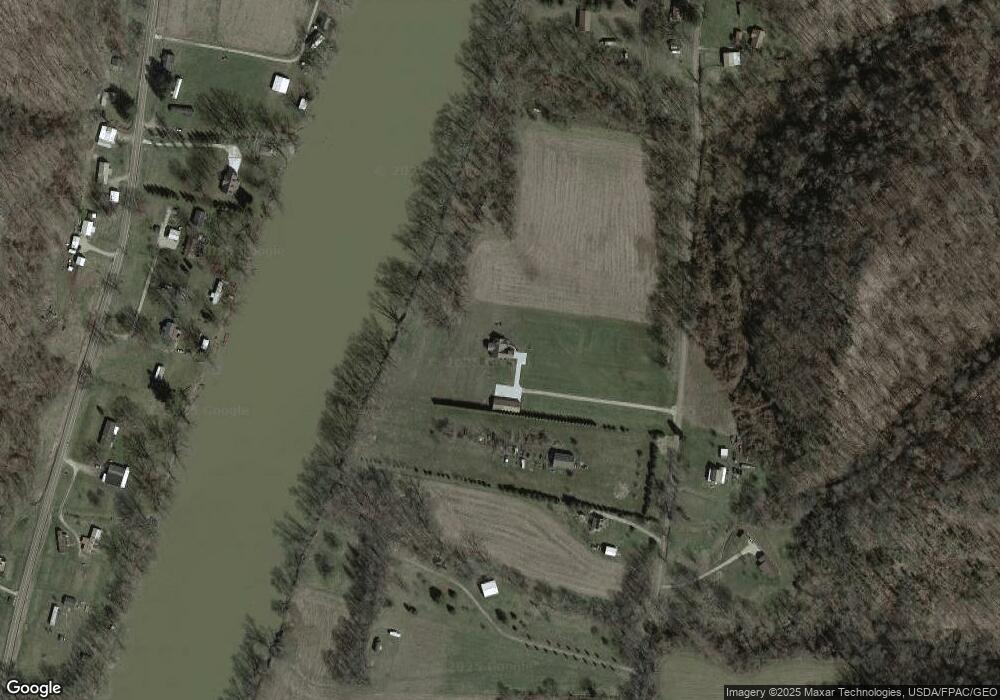
337 Swift Rd Waterford, OH 45786
Estimated Value: $422,708 - $523,000
3
Beds
2
Baths
2,870
Sq Ft
$162/Sq Ft
Est. Value
About This Home
This home is located at 337 Swift Rd, Waterford, OH 45786 and is currently estimated at $463,903, approximately $161 per square foot. 337 Swift Rd is a home located in Washington County with nearby schools including Waterford Elementary School and Waterford High School.
Ownership History
Date
Name
Owned For
Owner Type
Purchase Details
Closed on
Nov 6, 2009
Sold by
Anderson G Thomas
Bought by
Flynn John E and Flynn Jo Ann M
Current Estimated Value
Purchase Details
Closed on
Aug 31, 2009
Sold by
Kendig Bryan K and Kendig Lisa A
Bought by
Flynn John E and Flynn Jo Ann M
Purchase Details
Closed on
Dec 28, 2002
Bought by
Bruner Land Company Inc
Purchase Details
Closed on
Nov 5, 2002
Bought by
Bruner Land Company Inc
Create a Home Valuation Report for This Property
The Home Valuation Report is an in-depth analysis detailing your home's value as well as a comparison with similar homes in the area
Home Values in the Area
Average Home Value in this Area
Purchase History
| Date | Buyer | Sale Price | Title Company |
|---|---|---|---|
| Flynn John E | $18,000 | Title First Marietta | |
| Flynn John E | $45,000 | Title First Agency Inc | |
| Bruner Land Company Inc | -- | -- | |
| Bruner Land Company Inc | $65,000 | -- |
Source: Public Records
Tax History Compared to Growth
Tax History
| Year | Tax Paid | Tax Assessment Tax Assessment Total Assessment is a certain percentage of the fair market value that is determined by local assessors to be the total taxable value of land and additions on the property. | Land | Improvement |
|---|---|---|---|---|
| 2024 | $3,426 | $115,470 | $8,510 | $106,960 |
| 2023 | $3,263 | $115,470 | $8,510 | $106,960 |
| 2022 | $4,015 | $115,470 | $8,510 | $106,960 |
| 2021 | $2,654 | $73,570 | $6,240 | $67,330 |
| 2020 | $2,579 | $73,570 | $6,240 | $67,330 |
| 2019 | $2,576 | $73,570 | $6,240 | $67,330 |
| 2018 | $2,274 | $63,690 | $5,200 | $58,490 |
| 2017 | $2,365 | $63,690 | $5,200 | $58,490 |
| 2016 | $3,620 | $63,690 | $5,200 | $58,490 |
| 2015 | $1,770 | $45,060 | $4,840 | $40,220 |
| 2014 | $2,591 | $45,060 | $4,840 | $40,220 |
| 2013 | $185 | $4,750 | $480 | $4,270 |
Source: Public Records
Map
Nearby Homes
- 3130 Ohio 266
- 3439 Columbus St
- 1550 Swift Rd
- 1240 Hayesville Rd
- 5855 Olney Run Rd
- 4660 E J Ross Ln
- 2712 Sycamore Ln
- 2444 Ervin Ln
- 0 Kosky Dr
- 3291 Kosky Dr
- 3020 State Route 376
- 3111 Big Bottom Ln
- 3707 Righteous Ridge Rd
- 5788 Buchanan Rd
- 1960 Broadway St
- 75 S River Rd SE
- 1920 North St
- 0 Ohio 339
- 6 Spring St
- 1770 Broadway St
- 263 Swift Rd
- 300 Swift Rd
- 240 Swift Rd
- 2365 S State Route 266
- 533 Swift Rd
- 533 Swift Rd
- 525 Swift Rd
- 571 Swift Rd
- 2290 E State Route 266
- 2350 S State Route 266
- 537 Swift Rd
- 537 Swift Rd
- 2484 Ohio 266
- 157 Milner Rd
- 2484 S State Route 266
- 2096 S State Route 266
- 2500 S State Route 266
- 2359 S State Route 266
- 2080 S R 266
- 2295 S State Route 266
