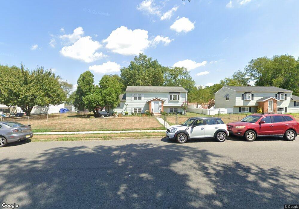
337 Yale Rd Pemberton, NJ 08068
Estimated Value: $331,000 - $383,000
--
Bed
--
Bath
1,606
Sq Ft
$219/Sq Ft
Est. Value
About This Home
This home is located at 337 Yale Rd, Pemberton, NJ 08068 and is currently estimated at $350,935, approximately $218 per square foot. 337 Yale Rd is a home located in Burlington County.
Ownership History
Date
Name
Owned For
Owner Type
Purchase Details
Closed on
May 6, 2005
Sold by
Cole Bezaida B
Bought by
Cole Emanuel A
Current Estimated Value
Home Financials for this Owner
Home Financials are based on the most recent Mortgage that was taken out on this home.
Original Mortgage
$98,842
Outstanding Balance
$51,006
Interest Rate
5.68%
Mortgage Type
Fannie Mae Freddie Mac
Estimated Equity
$299,929
Purchase Details
Closed on
Jun 21, 2004
Sold by
Cole Bezaida B
Bought by
Cole Emanuel A
Purchase Details
Closed on
Oct 10, 2000
Sold by
Whitehead Mary E
Bought by
Cole Emanuel A and Cole Bezaida B
Home Financials for this Owner
Home Financials are based on the most recent Mortgage that was taken out on this home.
Original Mortgage
$96,900
Interest Rate
7.88%
Mortgage Type
VA
Purchase Details
Closed on
Jul 28, 1997
Sold by
Whitehead Joseph and Whitehead Sallie C
Bought by
Whitehead Sallie C
Create a Home Valuation Report for This Property
The Home Valuation Report is an in-depth analysis detailing your home's value as well as a comparison with similar homes in the area
Home Values in the Area
Average Home Value in this Area
Purchase History
| Date | Buyer | Sale Price | Title Company |
|---|---|---|---|
| Cole Emanuel A | -- | New Vision Title Agency | |
| Cole Emanuel A | -- | -- | |
| Cole Emanuel A | $95,000 | Congress Title Corp | |
| Whitehead Sallie C | -- | -- |
Source: Public Records
Mortgage History
| Date | Status | Borrower | Loan Amount |
|---|---|---|---|
| Open | Cole Emanuel A | $98,842 | |
| Closed | Cole Emanuel A | $96,900 |
Source: Public Records
Tax History Compared to Growth
Tax History
| Year | Tax Paid | Tax Assessment Tax Assessment Total Assessment is a certain percentage of the fair market value that is determined by local assessors to be the total taxable value of land and additions on the property. | Land | Improvement |
|---|---|---|---|---|
| 2025 | $4,705 | $153,500 | $28,200 | $125,300 |
| 2024 | $4,415 | $153,500 | $28,200 | $125,300 |
| 2023 | $4,415 | $153,500 | $28,200 | $125,300 |
| 2022 | $4,086 | $153,500 | $28,200 | $125,300 |
| 2021 | $3,919 | $153,500 | $28,200 | $125,300 |
| 2020 | $3,772 | $153,500 | $28,200 | $125,300 |
| 2019 | $3,612 | $153,500 | $28,200 | $125,300 |
| 2018 | $3,489 | $153,500 | $28,200 | $125,300 |
| 2017 | $3,343 | $150,200 | $28,200 | $122,000 |
| 2016 | $3,973 | $106,300 | $15,500 | $90,800 |
| 2015 | $3,942 | $106,300 | $15,500 | $90,800 |
| 2014 | $3,768 | $106,300 | $15,500 | $90,800 |
Source: Public Records
Map
Nearby Homes
- 0 Pemberton Vincentown Rd
- 86 Scrapetown Rd
- 448 Cornell Ave
- 227 University Ave
- 421 Lakeview Terrace
- 143 Oak Pines Blvd
- 120 Hanover St
- 2 Cedar Ln
- 60 Hanover St
- 112 Kinsley Rd
- 121 Jane St
- 110 Lemmon Ave
- 38 Hearthstone Blvd
- 914 Pemberton Browns Mills Rd
- 912 Pemberton Browns Mills Rd
- 912 Pemberton - Browns Mills Rd
- 197 Kinsley Rd
- 23 Homestead Dr
- 30 Homestead Dr
- 200 Norcross Ln Unit 202